Old Maps of Ryegate, Montana for Hiking & Exploration
Hike through history with 17 historic maps of Ryegate. Explore old trails, ghost towns, and forgotten backroads — perfect for outdoor adventurers and local explorers.
- Rediscover forgotten places: Map out old mining camps, roads, and footpaths that no longer exist on modern maps.
- Layer with modern tools: Combine with LiDAR or satellite views to plan hikes through historical terrain.
- Made for exploration: Popular among hikers, overlanders, and local history lovers.
Use these maps to find adventure and explore the hidden past of Ryegate.
Ryegate, MT maps
(17)- 1889 Map of Big Snowy Mountain
 1889 Big Snowy Mountain1889 Print · USGSCentral Montana in the late 1880s was a land of critical mountain passes and emerging frontier outposts. You can trace early settlement patterns and cattle country geography through historic sites like Ubet, Bercail, and Melville near the Musselshell River.
 - 1893 Map of Big Snowy Mountain
 1893 Big Snowy Mountain1893 Print · USGSCentral Montana in the late frontier era reveals a landscape shaped by the massive Big Snowy Mountain and the headwaters of major rivers. Researchers can trace early settlements and transit points like Ubet, Judith Gap, and the remote outpost of Bercail.4 unique versions available
 - 1954 Map of Roundup, 1966 Print
 1954 Roundup1966 Print · USGSCentral Montana in the mid-1960s showcases a landscape of high-plains agriculture and vital rail connections. Researchers can trace historic routes through Harlowton and Roundup while locating landmarks like Judith Cemetery and Deadmans Basin Reservoir.2 unique versions available
 - 1958 Map of Roundup
 1958 Roundup1958 Print · USGSCentral Montana ranching and rail infrastructure are captured here in the late fifties as the Musselshell River valley thrived. Researchers can trace the Great Northern line through Harlowton or locate the Judith Cemetery and Gage Community.2 unique versions available
 - 1986 Map of Ryegate West
 1986 Ryegate West1986 Print · USGSGolden Valley County in the mid-1980s shows a landscape shaped by the Musselshell River and early transport routes. Genealogists and historians can trace the town of Ryegate, the settlement of Franklin, and the Old RR Grade.
 - 1986 Map of Ryegate East
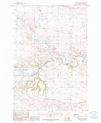 1986 Ryegate East1986 Print · USGSGolden Valley near the mid-eighties shows a landscape defined by the winding Musselshell River and the small-town hub of Ryegate. Researchers can trace the legacy of local transport via the Old RR Grade and find landmarks like the Landing Strip.
 - 1993 Map of Harlowton
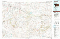 1993 Harlowton1993 Print · USGSCentral Montana's river valleys and high plains are captured here in the 1990s as the agricultural landscape evolved. Genealogists can trace family holdings near Springwater Colony or follow the Old Railroad Grade through Harlowton and Shawmut.
 - 2011 Map of Ryegate East, 2011 Print
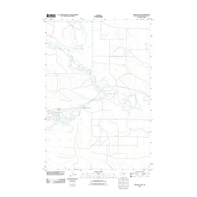 2011 Ryegate East2011 Print · USGSGolden Valley County rangeland and the riparian corridors of the Musselshell River are documented here in the early twenty-first century. Family historians and researchers can locate Resurrection Cemetery and trace the paths of Buffalo Trl and Careless Creek.
 - 2011 Map of Ryegate West, 2011 Print
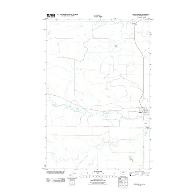 2011 Ryegate West2011 Print · USGSRyegate and the surrounding Musselshell River valley are captured here in the early twenty-first century, showing a landscape defined by water and ranching. Genealogists and local historians can trace the Ryegate Cemetery, the community at Golden Valley Colony, and the settlement of Franklin.
 - 2014 Map of Ryegate East, 2014 Print
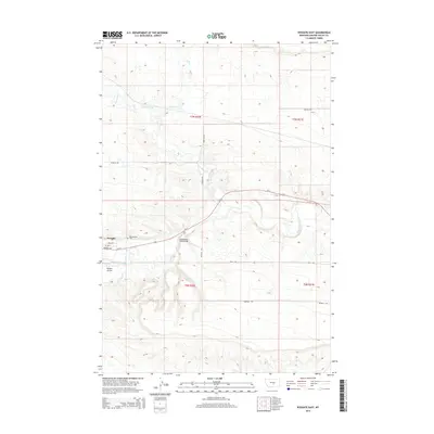 2014 Ryegate East2014 Print · USGSRyegate and the Musselshell River valley are documented here during the early twenty-first century, showing the intersection of river, rail, and road. Local historians can trace property boundaries near Resurrection Cem, Careless Creek, and the Ryegate Airport.
 - 2014 Map of Ryegate West, 2014 Print
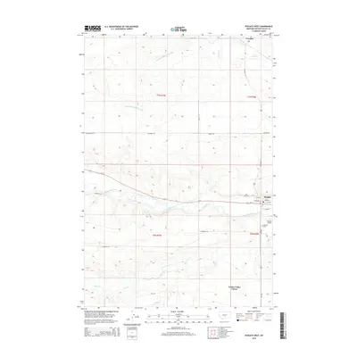 2014 Ryegate West2014 Print · USGSCentral Montana's river-fed plains are captured here in the early twenty-first century, centered on the Musselshell River valley. Genealogists and historians can locate the Ryegate Cem, the settlement of Franklin, and the Golden Valley Colony.
 - 2017 Map of Ryegate West, 2017 Print
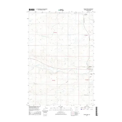 2017 Ryegate West2017 Print · USGSGolden Valley County's riverfront landscape is detailed here in the 2010s, centered on the town of Ryegate and the meandering Musselshell River. Genealogists and local historians can locate the Ryegate Cem and trace rural routes like Rothemay Rd to the northern community of Franklin.
 - 2017 Map of Ryegate East, 2017 Print
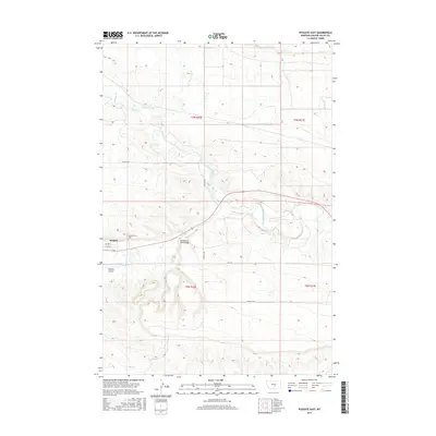 2017 Ryegate East2017 Print · USGSThe town of Ryegate and the winding Musselshell River define this Montana landscape during the early twenty-first century. Genealogists and local historians can locate Resurrection Cem and trace rural routes like Sterling Rd and the Buffalo Trl.
 - 2020 Map of Ryegate West, 2020 Print
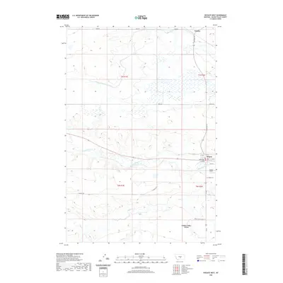 2020 Ryegate West2020 Print · USGSGolden Valley County's river-fed plains are captured here in the contemporary era, centered on the regional hub of Ryegate. Researchers can trace local landmarks like the Golden Valley County Courthouse, the Ryegate Cem, and the path of the Musselshell River.
 - 2020 Map of Ryegate East, 2020 Print
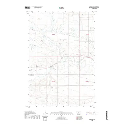 2020 Ryegate East2020 Print · USGSThe township of Ryegate and the winding Musselshell River define this Montana landscape during the early twenty-first century. Genealogists and local historians can locate the Resurrection Cem and trace the paths of Buffalo Trl and Sterling Rd.
 - 2024 Map of Ryegate East, 2024 Print
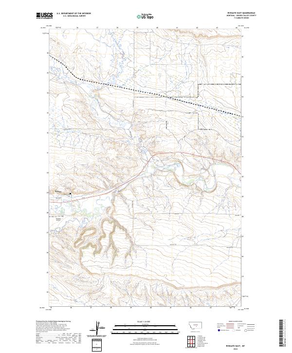 2024 Ryegate East2024 Print · USGSGolden Valley County in the mid-2020s remains centered on the river-valley life of Ryegate. Researchers can trace local burial sites at Resurrection Cem or follow the historic paths of Buffalo Trl and the Musselshell River.
 - 2024 Map of Ryegate West, 2024 Print
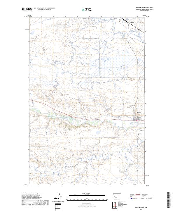 2024 Ryegate West2024 Print · USGSThe Musselshell River valley and the town of Ryegate are captured here in the early twenty-first century. Genealogists and local historians can locate the Golden Valley County Courthouse, the Ryegate Cem, and the Golden Valley Colony.
End of results
Showing maps 1-17 of 17
Frequently asked questions
- What are the different types of historical maps available for Ryegate?
- What is the oldest map of Ryegate?
- Where can I purchase historical maps of Ryegate for my home or office?
- Where can I download high-res historical maps of Ryegate?
- Are there historical topographic maps available for Ryegate?
- Is there historical aerial imagery available for Ryegate?
- Where are historical maps of Ryegate sourced from?