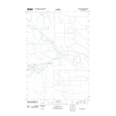
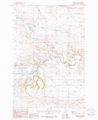
2011 Map of Ryegate East
USGS Topo · Published 2011About this map
The Musselshell River meanders across this Golden Valley County landscape, creating a complex network of riparian oxbows and channels that define the local geography. Just east of the primary settlement area, the Resurrection Cemetery sits near the junction of 1st Ave E and 3rd Ave E, providing a focal point for genealogical interest. The transport network is anchored by the Musselshell River Bridge, which facilitates movement across the waterway toward the northern plains. To the north and south, the drainage patterns of Alkali Creek, Careless Creek, and Fish Creek illustrate the watershed's role in shaping the rangeland. Long transit corridors like Buffalo Trl and Sterling Rd cut across the sections, marking the established grid of this Montana ranching region.
Find a feature on this map
10 named features on this map. Tap any name to fly to it.
Don’t see what you’re looking for? This feature index may not catch every label — zoom into the map to look around manually.
Map Details
Editions of this 2011 Ryegate East Map
This is the sole edition of this map. No revisions or reprints were ever made.
Other maps of this area

1889 · Big Snowy Mountain
USGS Topo · 1:250,000

1893 · Big Snowy Mountain
USGS Topo · 1:250,000

1954 · Roundup
USGS Topo · 1:250,000

1958 · Roundup
USGS Topo · 1:250,000
1985 · Locomotive Butte
USGS Topo · 1:24,000
1985 · Mount Sinai
USGS Topo · 1:24,000
1985 · Eagle Point
USGS Topo · 1:24,000

1986 · Ryegate West
USGS Topo · 1:24,000
1986 · Ryegate East
USGS Topo · 1:24,000

1986 · Wallum
USGS Topo · 1:24,000