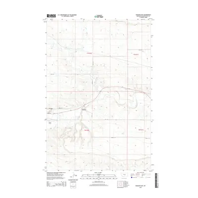
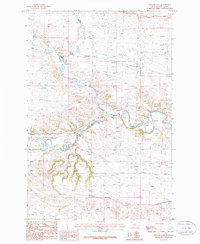
2014 Map of Ryegate East
USGS Topo · Published 2014About this map
Ryegate sits along the northern banks of the Musselshell River in Golden Valley County, serving as a hub for the surrounding ranching and agricultural land. This 2014 survey captures the community’s layout, featuring streets such as 1st Ave E and Railway Ave that reflect its proximity to transportation corridors. Just east of the main town site, Resurrection Cem and the Ryegate Airport mark the transition into the broader river valley, while the Musselshell River Bridge provides a vital crossing point.
Find a feature on this map
21 named features on this map. Tap any name to fly to it.
Don’t see what you’re looking for? This feature index may not catch every label — zoom into the map to look around manually.
Map Details
Editions of this 2014 Ryegate East Map
This is the sole edition of this map. No revisions or reprints were ever made.
Other maps of this area

1889 · Big Snowy Mountain
USGS Topo · 1:250,000

1893 · Big Snowy Mountain
USGS Topo · 1:250,000

1954 · Roundup
USGS Topo · 1:250,000

1958 · Roundup
USGS Topo · 1:250,000
1985 · Locomotive Butte
USGS Topo · 1:24,000
1985 · Mount Sinai
USGS Topo · 1:24,000
1985 · Eagle Point
USGS Topo · 1:24,000

1986 · Ryegate West
USGS Topo · 1:24,000
1986 · Ryegate East
USGS Topo · 1:24,000

1986 · Wallum
USGS Topo · 1:24,000