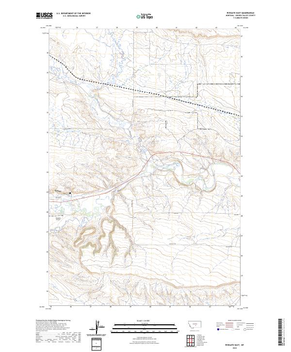
2024 Map of Ryegate East
USGS Topo · Published 2024About this map
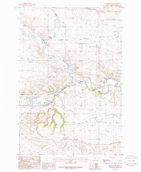
Ryegate serves as the focal point for this section of Golden Valley County, positioned where the Musselshell River carves a fertile path through the high plains. The landscape is defined by the winding courses of Careless Creek and Fish Creek, which converge toward the river valley. Local infrastructure follows both the natural watercourses and the established grid, with Buffalo Trl and Sage Rd marking long-distance corridors across the terrain.
Find a feature on this map
16 named features on this map. Tap any name to fly to it.
Don’t see what you’re looking for? This feature index may not catch every label — zoom into the map to look around manually.
Map Details
Editions of this 2024 Ryegate East Map
This is the sole edition of this map. No revisions or reprints were ever made.
Other maps of this area

1889 · Big Snowy Mountain
USGS Topo · 1:250,000

1893 · Big Snowy Mountain
USGS Topo · 1:250,000

1954 · Roundup
USGS Topo · 1:250,000

1958 · Roundup
USGS Topo · 1:250,000
1985 · Locomotive Butte
USGS Topo · 1:24,000
1985 · Mount Sinai
USGS Topo · 1:24,000
1985 · Eagle Point
USGS Topo · 1:24,000

1986 · Ryegate West
USGS Topo · 1:24,000
1986 · Ryegate East
USGS Topo · 1:24,000

1986 · Wallum
USGS Topo · 1:24,000