Old Maps of Hill County, Montana
Explore 100 old maps of Hill County, spanning from 1904 to today. These high-resolution historic maps reveal how streets, neighborhoods, landmarks, and natural features evolved over time — perfect for genealogy, metal detecting, research, and local history exploration.
What you can do with these maps:
- See how Hill County changed over time: Compare historical maps to modern-day views to trace roads, homesites, rail lines & more.
- View detailed metadata: Each map includes creators, publishers, year, scale, and archive source.
- Overlay maps with satellite & LiDAR: Visualize the past alongside modern tools to explore terrain & human change.
- Trusted historical sources: Maps sourced from the USGS, Library of Congress, and other archives.
- Access maps your way: View online, download high-res files, or order prints for personal or research use.
Start exploring old maps of Hill County to uncover forgotten places, hidden landmarks, and the deep history beneath your feet.
Hill County, MT maps
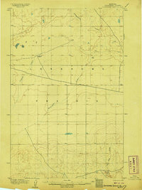
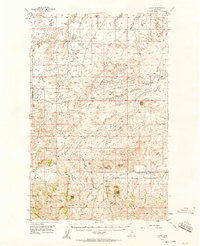
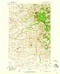
(100)- 1904 Map of Yantic
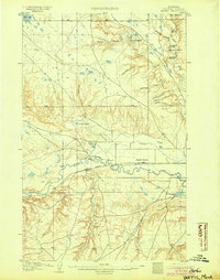 1904 Yantic1904 Print · USGSCovers Hill County, including Lohman, Blaine County, and other nearby areas2 unique versions available
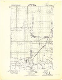
 - 1904 Map of Assinniboine
 1904 Assinniboine1904 Print · USGSCovers Hill County, including Fresno, Beaver Creek, and other nearby areas4 unique versions available
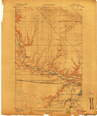
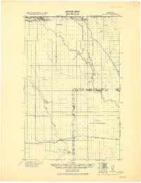
 - 1904 Map of Havre
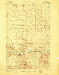 1904 Havre1904 Print · USGSCovers Hill County, including Havre, Pats Trailer Park, and other nearby areas2 unique versions available
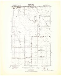
 - 1904 Map of Boxelder, 1959 Print
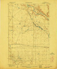
 1904 Boxelder1959 Print · USGSCovers Hill County, including Hidden Valley Hutterite Colony, Rocky Crossing, and other nearby areas
 - 1906 Map of Kremlin
 1906 Kremlin1906 Print · USGSCovers Hill County, including Kremlin, United States, and other nearby areas2 unique versions available
 - 1906 Map of Lonesome
 1906 Lonesome1906 Print · USGSCovers Hill County, including Kenilworth, Chouteau County, and other nearby areas2 unique versions available
 - 1906 Map of Boxelder
 1906 Boxelder1906 Print · USGSCovers Hill County, including Hidden Valley Hutterite Colony, Rocky Crossing, and other nearby areas
 - 1912 Map of Zurich
 1912 Zurich1912 Print · USGSCovers Hill County, including Chinook, Hartland Hutterite Colony, and other nearby areas
 - 1912 Map of Thibedeau Lake
 1912 Thibedeau Lake1912 Print · USGSCovers Hill County, including Havre, Fresno, and other nearby areas
 - 1919 Map of Big Sandy
 1919 Big Sandy1919 Print · USGSCovers Hill County, including Big Sandy, Kenilworth, and other nearby areas2 unique versions available
 - 1919 Map of Alma
 1919 Alma1919 Print · USGSCovers Hill County, including Chester, Cool Spring Hutterite Colony, and other nearby areas
 - 1920 Map of Gildford
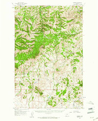
 1920 Gildford1920 Print · USGSCovers Hill County, including Hingham, Gildford Hutterite Colony, and other nearby areas
 - 1943 Map of Gildford
 1943 Gildford1943 Print · USGSCovers Hill County, including Hingham, Gildford Hutterite Colony, and other nearby areas
 - 1953 Map of Havre, 1967 Print
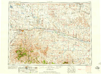
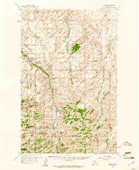
 1953 Havre1967 Print · USGSCovers Hill County, including Havre, Chinook, and other nearby areas3 unique versions available
 - 1954 Map of Shelby, 1967 Print
 1954 Shelby1967 Print · USGSCovers Hill County, including Shelby, Chester, and other nearby areas3 unique versions available
 - 1956 Map of Lloyd, 1958 Print
 1956 Lloyd1958 Print · USGSCovers Hill County, including Lloyd, Blaine County, and other nearby areas2 unique versions available
 - 1957 Map of Havre
 1957 Havre1957 Print · USGSCovers Hill County, including Havre, Chinook, and other nearby areas
 - 1958 Map of Shelby
 1958 Shelby1958 Print · USGSCovers Hill County, including Shelby, Chester, and other nearby areas
 - 1958 Map of Havre
 1958 Havre1958 Print · USGSCovers Hill County, including Havre, Chinook, and other nearby areas2 unique versions available
 - 1959 Map of Warrick, 1961 Print
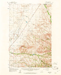
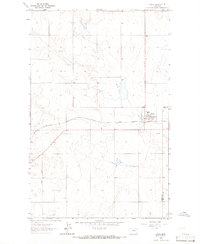
 1959 Warrick1961 Print · USGSCovers Hill County, including Warrick, Parker School, and other nearby areas3 unique versions available
 - 1959 Map of Laredo, 1961 Print
 1959 Laredo1961 Print · USGSCovers Hill County, including Laredo, Rocky Boy's Agency, and other nearby areas2 unique versions available
 - 1959 Map of Centennial Mountain, 1961 Print
 1959 Centennial Mountain1961 Print · USGSCovers Hill County, including Chouteau County, United States, and other nearby areas3 unique versions available
 - 1959 Map of Shambo, 1961 Print
 1959 Shambo1961 Print · USGSCovers Hill County, including Shambo Springs, Blaine County, and other nearby areas3 unique versions available
 - 1963 Map of Joplin, 1965 Print
 1963 Joplin1965 Print · USGSCovers Hill County, including Joplin, Liberty County, and other nearby areas
 - 1963 Map of Bobcat Coulee SE, 1966 Print
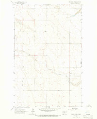 1963 Bobcat Coulee SE1966 Print · USGSCovers Hill County, including Liberty County, United States, and other nearby areas
Showing maps 1-25 of 100
Top cities of Hill County
Frequently asked questions
- What are the different types of historical maps available for Hill County?
- What is the oldest map of Hill County?
- Where can I purchase historical maps of Hill County for my home or office?
- Where can I download high-res historical maps of Hill County?
- Are there historical topographic maps available for Hill County?
- Is there historical aerial imagery available for Hill County?
- Where are historical maps of Hill County sourced from?