Old Maps of Lewis and Clark County, Montana
Explore 212 old maps of Lewis and Clark County, spanning from 1886 to today. These high-resolution historic maps reveal how streets, neighborhoods, landmarks, and natural features evolved over time — perfect for genealogy, metal detecting, research, and local history exploration.
What you can do with these maps:
- See how Lewis and Clark County changed over time: Compare historical maps to modern-day views to trace roads, homesites, rail lines & more.
- View detailed metadata: Each map includes creators, publishers, year, scale, and archive source.
- Overlay maps with satellite & LiDAR: Visualize the past alongside modern tools to explore terrain & human change.
- Trusted historical sources: Maps sourced from the USGS, Library of Congress, and other archives.
- Access maps your way: View online, download high-res files, or order prints for personal or research use.
Start exploring old maps of Lewis and Clark County to uncover forgotten places, hidden landmarks, and the deep history beneath your feet.
Lewis and Clark County, MT maps
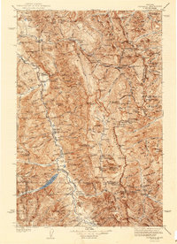
(212)- 1886 Map of Great Falls
 1886 Great Falls1886 Print · USGSCovers Lewis and Clark County, including Great Falls, Cascade, and other nearby areas4 unique versions available
 - 1886 Map of Fort Logan
 1886 Fort Logan1886 Print · USGSCovers Lewis and Clark County, including Helena, Montana City, and other nearby areas5 unique versions available
 - 1889 Map of Helena
 1889 Helena1889 Print · USGSCovers Lewis and Clark County, including Butte, Helena, and other nearby areas
 - 1893 Map of Helena
 1893 Helena1893 Print · USGSCovers Lewis and Clark County, including Butte, Helena, and other nearby areas2 unique versions available
 - 1899 Map of Boulder
 1899 Boulder1899 Print · USGSCovers Lewis and Clark County, including Butte, Boulder, and other nearby areas4 unique versions available
 - 1899 Map of Helena
 1899 Helena1899 Print · USGSCovers Lewis and Clark County, including Helena, Montana City, and other nearby areas3 unique versions available
 - 1899 Map of Helena, 1956 Print
 1899 Helena1956 Print · USGSCovers Lewis and Clark County, including Butte, Helena, and other nearby areas
 - 1902 Map of Ovando, 1960 Print
 1902 Ovando1960 Print · USGSCovers Lewis and Clark County, including Geary, Seeley Lake, and other nearby areas2 unique versions available
 - 1903 Map of Saypo
 1903 Saypo1903 Print · USGSCovers Lewis and Clark County, including Stoner Place, Saypo, and other nearby areas7 unique versions available
 - 1903 Map of Coopers Lake
 1903 Coopers Lake1903 Print · USGSCovers Lewis and Clark County, including Packers, Powell County, and other nearby areas3 unique versions available
 - 1903 Map of Helena
 1903 Helena1903 Print · USGSCovers Lewis and Clark County, including Butte, Helena, and other nearby areas4 unique versions available
 - 1905 Map of Ovando
 1905 Ovando1905 Print · USGSCovers Lewis and Clark County, including Geary, Seeley Lake, and other nearby areas2 unique versions available
 - 1920 Map of Choteau
 1920 Choteau1920 Print · USGSCovers Lewis and Clark County, including Choteau, Riebeling, and other nearby areas
 - 1936 Map of Silvertip
 1936 Silvertip1936 Print · USGSCovers Lewis and Clark County, including Missoula County, Flathead County, and other nearby areas3 unique versions available
 - 1942 Map of Silvertip
 1942 Silvertip1942 Print · USGSCovers Lewis and Clark County, including Missoula County, Flathead County, and other nearby areas2 unique versions available
 - 1943 Map of Hogan
 1943 Hogan1943 Print · USGSCovers Lewis and Clark County, including Elk Creek Hutterite Colony, Lower Ellis Place, and other nearby areas
 - 1947 Map of Butte, 1949 Print
 1947 Butte1949 Print · USGSCovers Lewis and Clark County, including Missoula, Butte, and other nearby areas2 unique versions available
 - 1948 Map of White Sulphur Springs, 1951 Print
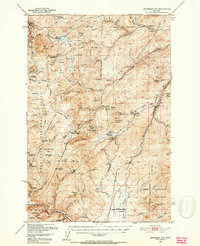
 1948 White Sulphur Springs1951 Print · USGSCovers Lewis and Clark County, including Helena, Montana City, and other nearby areas
 - 1950 Map of Jefferson City, 1952 Print
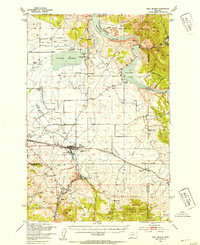
 1950 Jefferson City1952 Print · USGSCovers Lewis and Clark County, including Rimini, Comet, and other nearby areas5 unique versions available
 - 1950 Map of Canyon Ferry, 1952 Print
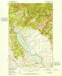 1950 Canyon Ferry1952 Print · USGSCovers Lewis and Clark County, including Spokane Creek, Cavetown, and other nearby areas3 unique versions available
 - 1950 Map of East Helena, 1954 Print
 1950 East Helena1954 Print · USGSCovers Lewis and Clark County, including Helena, Montana City, and other nearby areas4 unique versions available
 - 1950 Map of Helena, 1954 Print
 1950 Helena1954 Print · USGSCovers Lewis and Clark County, including Helena, Austin, and other nearby areas7 unique versions available
 - 1954 Map of Great Falls
 1954 Great Falls1954 Print · USGSCovers Lewis and Clark County, including Great Falls, Fort Benton, and other nearby areas4 unique versions available
 - 1954 Map of Basin, 1956 Print
 1954 Basin1956 Print · USGSCovers Lewis and Clark County, including Basin, Bernice, and other nearby areas4 unique versions available
 - 1955 Map of Choteau, 1978 Print
 1955 Choteau1978 Print · USGSCovers Lewis and Clark County, including Choteau, Geary, and other nearby areas
Showing maps 1-25 of 212
Top cities of Lewis and Clark County
Frequently asked questions
- What are the different types of historical maps available for Lewis and Clark County?
- What is the oldest map of Lewis and Clark County?
- Where can I purchase historical maps of Lewis and Clark County for my home or office?
- Where can I download high-res historical maps of Lewis and Clark County?
- Are there historical topographic maps available for Lewis and Clark County?
- Is there historical aerial imagery available for Lewis and Clark County?
- Where are historical maps of Lewis and Clark County sourced from?