1960s Maps of Lewis and Clark County, Montana
Explore 58 historic maps of Lewis and Clark County from the 1960s. These maps offer a rare glimpse into what life looked like during the 1960s — showing old roads, neighborhoods, homes, and landmarks that have changed or disappeared over time.
Whether you're researching your family's past, planning a metal detecting trip, or studying how Lewis and Clark County's landscape evolved across the 1960s, these high-resolution maps are a powerful tool for exploring the history of this region.
- Focus on a specific era: All maps on this page are from the 1960s, giving you a focused view of this time period.
- See what’s changed: Compare century-old streets, trails, and buildings to today's modern landscape using overlays and satellite layers.
- Research with precision: Use these maps for genealogy, historical research, land use analysis, or educational projects.
- View, download, or print: Maps are fully viewable online in high resolution, and can be downloaded or printed for your own records.
Start exploring Lewis and Clark County's history through authentic maps from the 1960s. This is your window into the past.
Lewis and Clark County, MT maps
(58)- 1960 Map of Butte
 1960 Butte1960 Print · USGSWestern Montana at the dawn of the sixties is defined by its industrial mining hubs and the railroads that connect them. Genealogists and historians can trace the routes of the Milwaukee Road through Butte or locate smaller settlements like Southern Cross and Bearmouth.
 - 1960 Map of Gilman, 1963 Print
 1960 Gilman1963 Print · USGSThe Sun River valley in the early sixties was a landscape of intensive irrigation and rail transport. Genealogists and historians can trace the Great Northern rail line through Gilman or locate family-held land near Burch Ranch and the Liberty Sch.2 unique versions available
 - 1960 Map of Freezeout Lake, 1963 Print
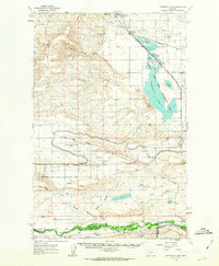 1960 Freezeout Lake1963 Print · USGSThe Teton County plains are shown in the early sixties as a hub of irrigation and rail activity. Researchers can trace the water-management systems through Bole and Riebeling, or locate family landmarks like the Hamilton Ranch and School Section.2 unique versions available
 - 1961 Map of White Sulphur Springs
 1961 White Sulphur Springs1961 Print · USGSThe Missouri River valley and central Montana highlands are captured here during a period of significant hydroelectric and rail expansion. Genealogists and rail historians can trace the paths of the Northern Pacific and Chicago Milwaukee St Paul and Pacific through settlements like White Sulphur Springs and Townsend.
 - 1961 Map of Craig, 1964 Print
 1961 Craig1964 Print · USGSThe settlement of Craig is captured in the early sixties, situated along the vital Great Northern rail corridor and the Missouri River. Local historians can trace the topography of Brewer Hill or locate the Wolf Creek Airway Beacon on the western heights.3 unique versions available
 - 1961 Map of Hardy, 1964 Print
 1961 Hardy1964 Print · USGSThe Missouri River canyon in the early sixties was a vital corridor for rail and water infrastructure. Researchers can trace the Great Northern tracks past Hardy, locate the Hardy Bridge, and find industrial features like Tintinger Siding.2 unique versions available
 - 1961 Map of Roberts Mountain, 1964 Print
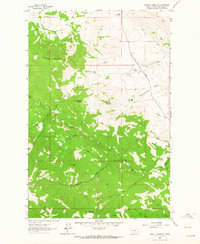 1961 Roberts Mountain1964 Print · USGSLewis and Clark County ranching and mining life is captured here in the early sixties. Genealogists and historians can locate family landmarks like the Johnson Homestead and A-Hicks Ranch, or trace the workings of the Rosetta Mine near Wolf Creek.2 unique versions available
 - 1961 Map of Wolf Creek, 1964 Print
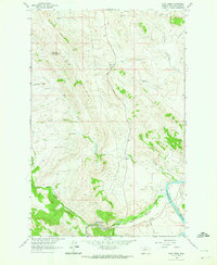 1961 Wolf Creek1964 Print · USGSWolf Creek and the Missouri River corridor are captured in the early sixties as a network of high-country ranches and rail lines. Genealogists and historians can trace the Moore Graves and family lands like Sentinel Ranch or Sunny Crest Ranch.3 unique versions available
 - 1961 Map of Coburn Mountain, 1964 Print
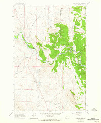 1961 Coburn Mountain1964 Print · USGSCentral Montana ranching country is documented here in the early sixties as the county lines meet along the Dearborn River. Genealogists and researchers can locate the Dearborn Cem, the Sevenmile Sch, and the local Dearborn Ranch.3 unique versions available
 - 1961 Map of The Sawteeth, 1964 Print
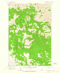 1961 The Sawteeth1964 Print · USGSLewis and Clark County at the start of the 1960s was a landscape of remote mountain peaks and early mining interests. Researchers can trace the rugged Stickney Creek Trail, locate historic Prospects, and identify named landmarks like The Devils Kitchen and The Twin Sisters.
 - 1961 Map of Comb Rock, 1964 Print
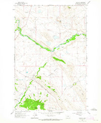 1961 Comb Rock1964 Print · USGSRanching life and river geography define this Montana landscape in the early 1960s as it appeared before modern development. Genealogists and historians can trace family properties like Murphy Ranch and Blacktail Ranch or locate the Dearborn Cem.3 unique versions available
 - 1961 Map of Mid Canon, 1964 Print
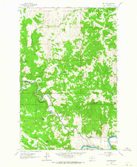 1961 Mid Canon1964 Print · USGSThe river canyon country of central Montana in the early sixties showcases a transition from early homesteading to a modern rail-and-river corridor. Genealogists can trace family footprints at the McKinster Homestead or the Cook Homestead while following the Great Northern rail line.2 unique versions available
 - 1962 Map of Choteau
 1962 Choteau1962 Print · USGSThe Rocky Mountain Front meets the western plains in the early 1960s, showing a landscape defined by the Continental Divide. Genealogists and researchers can trace the tracks of the Great Northern and find settlements like Choteau, Augusta, and Bynum.
 - 1962 Map of Butte
 1962 Butte1962 Print · USGSWestern Montana in the early sixties remains a landscape of industrial muscle and high-mountain passes. Trace the rail lines of the Northern Pacific through Deer Lodge and the mining history around Anaconda and Philipsburg.
 - 1962 Map of Upper Holter Lake, 1964 Print
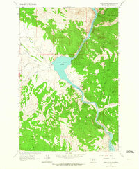 1962 Upper Holter Lake1964 Print · USGSThe Missouri River corridor north of Helena is documented here in the early sixties as it flows through a system of dams and reservoirs. Researchers can trace the legacy of early ranching at Hilger Ranch and Old Wells and French Place, or locate industrial landmarks like Hauser Dam.3 unique versions available
 - 1962 Map of Mitchell Mountain, 1964 Print
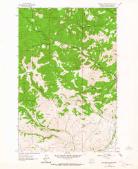 1962 Mitchell Mountain1964 Print · USGSIn the early sixties, the high country around Mitchell Mountain supported a rugged landscape of ranching and rail infrastructure. Genealogists and historians can trace the settlement at Sieben and family-named landmarks like Glen Marie Gulch and the Great Northern railroad.2 unique versions available
 - 1962 Map of Hogback Mountain, 1964 Print
 1962 Hogback Mountain1964 Print · USGSThe high Big Belt Mountains at the start of the sixties are mapped here in detail along the Lewis and Clark county line. Trace back-country routes like the Elk Ridge Trail or find named landmarks like Jim Ball Basin and Vigilante Campground.3 unique versions available
 - 1962 Map of Beartooth Mountain, 1964 Print
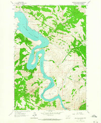 1962 Beartooth Mountain1964 Print · USGSIn the early 1960s, the Missouri River canyon north of Helena remained a landscape of remote mountain ranches and steep water gaps. Trace the winding shoreline of Holter Lake to find local landmarks like Beartooth Ranch, Oxbow Bend, and the Gates of the Rocky Mountains.5 unique versions available
 - 1962 Map of B K Ranch, 1964 Print
 1962 B K Ranch1964 Print · USGSThe ranching and forest lands of Meagher County are captured here in the early sixties as the modern era of land management took hold. Researchers can trace historic creek drainages like Crooked Creek and find landmarks such as B K Ranch and Squaw Teat.2 unique versions available
 - 1962 Map of Sheep Creek, 1964 Print
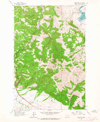 1962 Sheep Creek1964 Print · USGSThe Missouri River and Great Northern railroad corridor are captured here in the early 1960s as they navigate the ridges north of Helena. Researchers can locate family-run operations like Sieben Ranch and industrial markers including a Powerplant and several Mines.3 unique versions available
 - 1962 Map of Middle Creek Lake, 1964 Print
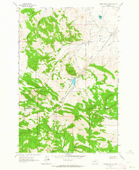 1962 Middle Creek Lake1964 Print · USGSThe high Montana backcountry of the 1960s reveals a rugged landscape of county boundaries and mountain outposts. Trace the remote network of a Pack Trail and Jeep Trail leading to Tyrell Camp, Hump Cabin, and Middle Creek Lake.2 unique versions available
 - 1962 Map of Candle Mountain, 1964 Print
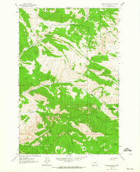 1962 Candle Mountain1964 Print · USGSThe high country of the Montana divide is captured here in the early sixties, showing the intersection of Lewis and Clark and Cascade counties. Outdoor historians can trace primitive routes like the Pack Trail through Helena National Forest and along Elkhorn Creek.
 - 1962 Map of Nelson, 1964 Print
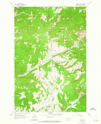 1962 Nelson1964 Print · USGSThe high peaks of Lewis and Clark County are shown here in the early 1960s, centered on the Helena National Forest. Researchers can trace the remote settlement of Nelson and follow primitive routes like the Pack Trail past Sacajawea Mountain and Devils Tower.3 unique versions available
 - 1962 Map of Rattlesnake Mountain, 1964 Print
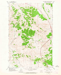 1962 Rattlesnake Mountain1964 Print · USGSThe high country of Lewis and Clark County is captured here in the early sixties as a network of cattle ranches and mountain trails. You can trace legacy sites like Old Synnes Ranch and Old Thorne Ranch or explore the rugged drainages of Sawmill Gulch and Trust-to-Luck Gulch.4 unique versions available
 - 1962 Map of Snedaker Basin, 1964 Print
 1962 Snedaker Basin1964 Print · USGSThe high Big Belt Mountains at the start of the sixties are detailed here, showing a landscape of remote basins and ranch outposts. Researchers can trace historic access routes like the Pack Trail and locate family-named landmarks such as Sunshine Ranch and Jim Ball Basin.2 unique versions available
Showing maps 1-25 of 58
Top cities of Lewis and Clark County
Frequently asked questions
- What are the different types of historical maps available for Lewis and Clark County?
- What is the oldest map of Lewis and Clark County?
- Where can I purchase historical maps of Lewis and Clark County for my home or office?
- Where can I download high-res historical maps of Lewis and Clark County?
- Are there historical topographic maps available for Lewis and Clark County?
- Is there historical aerial imagery available for Lewis and Clark County?
- Where are historical maps of Lewis and Clark County sourced from?