1980s Maps of Lewis and Clark County, Montana
Explore 18 historic maps of Lewis and Clark County from the 1980s. These maps offer a rare glimpse into what life looked like during the 1980s — showing old roads, neighborhoods, homes, and landmarks that have changed or disappeared over time.
Whether you're researching your family's past, planning a metal detecting trip, or studying how Lewis and Clark County's landscape evolved across the 1980s, these high-resolution maps are a powerful tool for exploring the history of this region.
- Focus on a specific era: All maps on this page are from the 1980s, giving you a focused view of this time period.
- See what’s changed: Compare century-old streets, trails, and buildings to today's modern landscape using overlays and satellite layers.
- Research with precision: Use these maps for genealogy, historical research, land use analysis, or educational projects.
- View, download, or print: Maps are fully viewable online in high resolution, and can be downloaded or printed for your own records.
Start exploring Lewis and Clark County's history through authentic maps from the 1980s. This is your window into the past.
Lewis and Clark County, MT maps
(18)- 1984 Map of Choteau
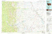 1984 Choteau1984 Print · USGSThe Teton River country comes to life in this mid-eighties record of the Montana plains and mountains. Trace the footprints of early ranching and farming settlements like Farmington and Eastham Junction, or explore the unique Hutterite settlements at Miller Colony and New Rockport Colony.
 - 1985 Map of Austin
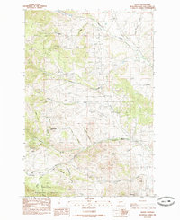 1985 Austin1985 Print · USGSThe mountain town of Austin and the surrounding gulches of Lewis and Clark County appear here in the mid-eighties. Researchers can trace the legacies of mining at Mine and Tailings or explore the ridges of the Helena National Forest.
 - 1985 Map of Louisville
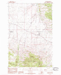 1985 Louisville1985 Print · USGSCentral Montana in the mid-1980s reveals a landscape shaped by national forest boundaries and utility corridors. Genealogists and local historians can trace the small settlements of Louisville and Clasoil or locate mineral Prospects near Mitchell Gulch.
 - 1985 Map of Helena
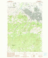 1985 Helena1985 Print · USGSThe Montana state capital and its rugged southern mining districts appear in detail during the mid-eighties. Genealogists and historians can trace the mining legacy of Unionville and Park City or examine the boundaries of Fort William H Harrison.2 unique versions available
 - 1985 Map of Scratchgravel Hills
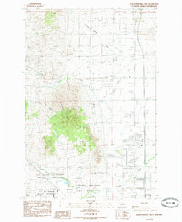 1985 Scratchgravel Hills1985 Print · USGSNorthwest of Helena in the mid-eighties, this landscape reveals a mix of military training grounds and early valley development. Trace the boundaries of Fort William H Harrison Military Reservation and find local landmarks like Diamond Spring and the Helena Valley Canal.
 - 1985 Map of East Helena
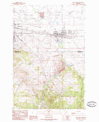 1985 East Helena1985 Print · USGSEast Helena and the county line are captured in the mid-eighties as the state capital region expanded into the surrounding valleys. Genealogists and local historians can trace family-named drainages like Holmes Gulch and local landmarks such as Montana City and the Helena Regional Airport.
 - 1985 Map of Black Mountain
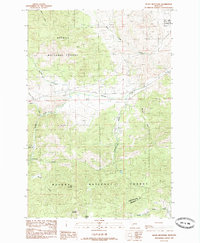 1985 Black Mountain1985 Print · USGSThe peaks of the Helena National Forest and the edge of a military reservation define this 1980s Montana landscape. Genealogists and researchers can trace local landmarks like Walker, Black Mountain, and the Prospects found throughout Colorado Gulch.
 - 1985 Map of Chessman Reservoir, 1986 Print
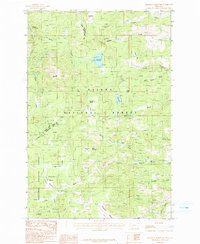 1985 Chessman Reservoir1986 Print · USGSThe mining camps and mountain basins of Jefferson County are captured in the 1980s as the landscape transitioned toward recreation and conservation. Genealogists and researchers can locate old mining claims at Frohner Basin and trace the history of Rimini and Nellie Grant.
 - 1985 Map of Three Brothers, 1986 Print
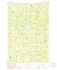 1985 Three Brothers1986 Print · USGSThe Continental Divide straddles the high Montana timberline during the 1980s, where three counties and two national forests meet. Genealogists and historians can locate specific old Mine Shafts and natural landmarks like Jericho Mountain and Scott Reservoir.2 unique versions available
 - 1986 Map of Split Rock Junction, 1987 Print
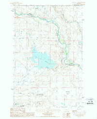 1986 Split Rock Junction1987 Print · USGSThe Montana high plains near the Sun River are captured in the mid-1980s, showcasing a landscape defined by irrigation and early transport. Researchers can trace the Old RR Grade and explore the water systems around Willow Creek Reservoir and Split Rock Junction.
 - 1987 Map of Golden Ridge
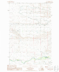 1987 Golden Ridge1987 Print · USGSThe Teton County plains are shown in the late eighties as a complex network of irrigation and river drainage. You can trace the vital water systems of the Spring Valley Canal and Sun River, alongside local landmarks like Golden Ridge.
 - 1987 Map of Lowry
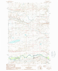 1987 Lowry1987 Print · USGSThe Montana high plains in the late eighties reveal a landscape defined by expansive irrigation projects and cattle ranching. Researchers can trace the path of the Greenfields Main Canal and locate rural landmarks like Lowry and the Hamilton Ranch.
 - 1987 Map of Gilman
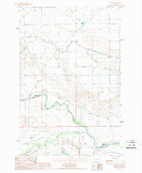 1987 Gilman1987 Print · USGSThe high plains south of the Teton County line appear in the late 1980s as a landscape of irrigation canals and ranching history. Researchers can trace the Old RR Grade through Gilman or locate the Heliport and Gravel Pit along the Sun River.
 - 1988 Map of Swan Peak, 1989 Print
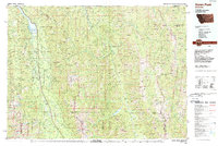 1988 Swan Peak1989 Print · USGSSettlement in the Swan River Valley and the Bob Marshall Wilderness are captured in this late 1980s survey. Researchers can locate remote backcountry sites like the Spotted Bear Airport, the village of Condon, and the Swan Lake shoreline.
 - 1989 Map of Greenhorn Mountain
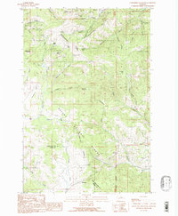 1989 Greenhorn Mountain1989 Print · USGSThe mining camps and high mountain passes of the Continental Divide appear in clear detail during the late twentieth century. Genealogists and historians can trace old mining claims like the Empire Mine or locate the historic settlement of Marysville and the vital crossing at Mullan Pass.
 - 1989 Map of Ophir Creek
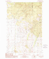 1989 Ophir Creek1989 Print · USGSThe high country of the Continental Divide in the late 1980s is documented here, showing the intersection of Powell and Lewis and Clark counties. Researchers can trace historical mining sites like Victory Mine, the settlement at Blackfoot City, and isolated landmarks such as Lost Cabin.
 - 1989 Map of Mac Donald Pass
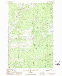 1989 Mac Donald Pass1989 Print · USGSThe Continental Divide serves as the backbone for this late-1980s look at the high mountain passes between Powell and Lewis and Clark Counties. Researchers can trace historic mining activity at the Third Term Mine or locate the community at Frontier Town and Camp Thunderbird.2 unique versions available
 - 1989 Map of Esmeralda Hill
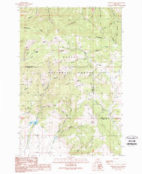 1989 Esmeralda Hill1989 Print · USGSThe Continental Divide bisects this Montana landscape in the late eighties, marking the boundary between Lewis and Clark and Powell counties. Researchers can trace historic mining activity near Ophir Creek via prospects, a mine shaft, and landmarks like Esmeralda Hill.2 unique versions available
End of results
Showing maps 1-18 of 18
Top cities of Lewis and Clark County
Frequently asked questions
- What are the different types of historical maps available for Lewis and Clark County?
- What is the oldest map of Lewis and Clark County?
- Where can I purchase historical maps of Lewis and Clark County for my home or office?
- Where can I download high-res historical maps of Lewis and Clark County?
- Are there historical topographic maps available for Lewis and Clark County?
- Is there historical aerial imagery available for Lewis and Clark County?
- Where are historical maps of Lewis and Clark County sourced from?