2020s Maps of Lewis and Clark County, Montana
Explore 196 historic maps of Lewis and Clark County from the 2020s. These maps offer a rare glimpse into what life looked like during the 2020s — showing old roads, neighborhoods, homes, and landmarks that have changed or disappeared over time.
Whether you're researching your family's past, planning a metal detecting trip, or studying how Lewis and Clark County's landscape evolved across the 2020s, these high-resolution maps are a powerful tool for exploring the history of this region.
- Focus on a specific era: All maps on this page are from the 2020s, giving you a focused view of this time period.
- See what’s changed: Compare century-old streets, trails, and buildings to today's modern landscape using overlays and satellite layers.
- Research with precision: Use these maps for genealogy, historical research, land use analysis, or educational projects.
- View, download, or print: Maps are fully viewable online in high resolution, and can be downloaded or printed for your own records.
Start exploring Lewis and Clark County's history through authentic maps from the 2020s. This is your window into the past.
Lewis and Clark County, MT maps
(196)- 2020 Map of Ophir Creek, 2020 Print
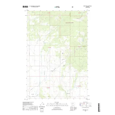 2020 Ophir Creek2020 Print · USGSAvon and the surrounding high country of Powell County are shown here as they appeared in the early twenty-first century. Researchers can trace the path of the Continental Divide National Scenic Trail or locate local landmarks like the Blackfoot Cem and Illinois Ridge.
 - 2020 Map of Hogback Mountain, 2020 Print
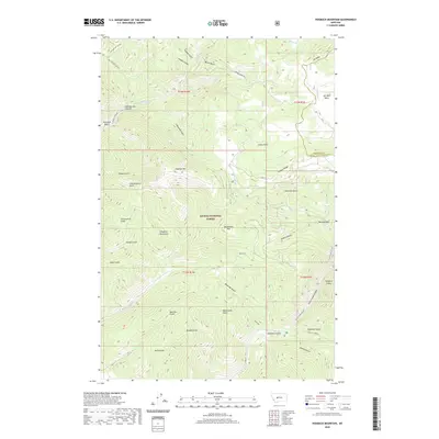 2020 Hogback Mountain2020 Print · USGSThe Montana backcountry near the Lewis and Clark county line is captured here in a moment of modern forest management. Topographic details allow for tracing the drainages of Refrigerator Canyon, Vigilante Gulch, and the remote Jim Ball Basin.
 - 2020 Map of Silver City, 2020 Print
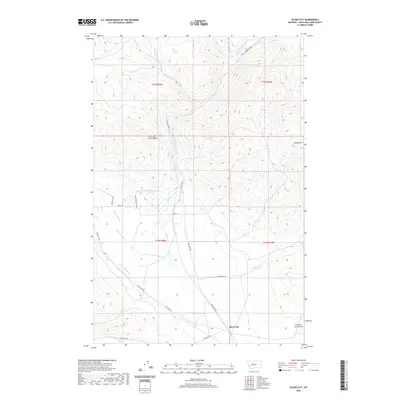 2020 Silver City2020 Print · USGSThe Silver City area of Montana comes into focus in this recent survey, showcasing the high-country terrain of Lewis and Clark County. Researchers can trace historic water rights and land use via the Vincent Ditch, Justisson Ditch, and the aptly named Trust-to-Luck Gulch.
 - 2020 Map of Nevada Lake, 2020 Print
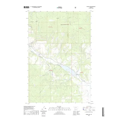 2020 Nevada Lake2020 Print · USGSThe high country of Powell County comes into focus during this 2020 survey, centered on the waters of Nevada Lake and the Helena National Forest. Researchers can trace the drainages and mountain roads used by local ranchers and foresters, from Ogden Mtn down through Buffalo Gulch and the Avon Valley.
 - 2020 Map of Louisville, 2020 Print
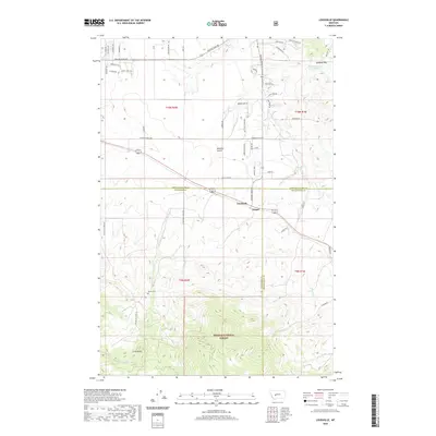 2020 Louisville2020 Print · USGSJefferson County ranchlands and the slopes of the Spokane Hills meet in this modern survey of the Louisville area. Genealogists and historians can trace family roots at Turner Cemetery and follow the routes through Mitchell Gulch and Clasoil.
 - 2020 Map of Lingshire, 2020 Print
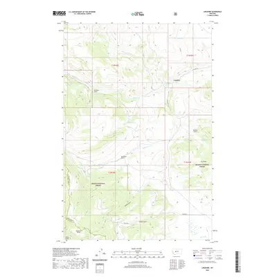 2020 Lingshire2020 Print · USGSMeagher County's high country is captured here during the 2020 survey, showing the remote settlement of Lingshire and the surrounding wilderness. Researchers can trace the rugged drainages of Calamity Gulch and Moonshine Gulch or locate the peaks of Avalanche Butte and the Dry Range.
 - 2020 Map of Snedaker Basin, 2020 Print
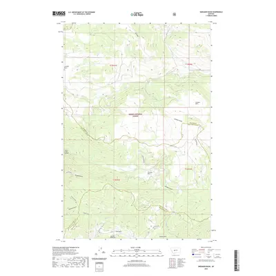 2020 Snedaker Basin2020 Print · USGSThe Big Belt Mountains of central Montana appear in high resolution during this modern survey. Researchers can trace remote drainage patterns and named landmarks like Vigilante Gulch, Snedaker Basin, and Hanging Valley.
 - 2020 Map of Chessman Reservoir, 2020 Print
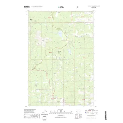 2020 Chessman Reservoir2020 Print · USGSRimini and the surrounding high country are captured here in 2020, where the Continental Divide separates vast forest lands. Researchers can trace the alpine drainage systems and mountain features like Chessman Reservoir, Park Lake, and the high Occidental Plateau.
 - 2020 Map of Canyon Ferry SW, 2020 Print
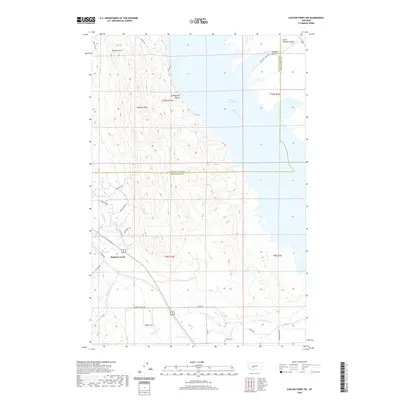 2020 Canyon Ferry SW2020 Print · USGSThe eastern shores of the Missouri River reservoir come into focus in this contemporary survey of the Montana high country. Researchers can trace land use patterns along the waterfront of Canyon Ferry Lake and locate the Winston Cem or the drainage of Spokane Cr.
 - 2020 Map of Austin, 2020 Print
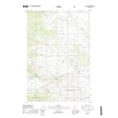 2020 Austin2020 Print · USGSThe mountain terrain west of Helena comes alive in this contemporary map of the northern Rockies. Researchers can locate Silver City Cem, trace the drainage of Rattlesnake Cr, and explore the named gulches like Jeff Davis Gulch and Smith Gulch.
 - 2020 Map of Esmeralda Hill, 2020 Print
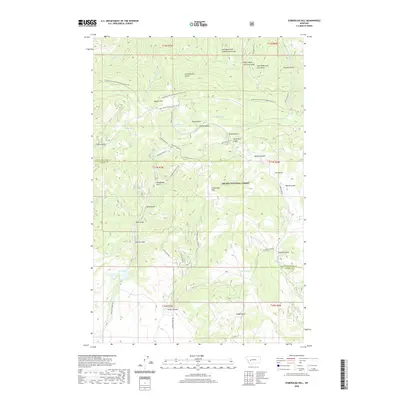 2020 Esmeralda Hill2020 Print · USGSThe high Divide country of Lewis and Clark County comes into focus in this recent survey. Researchers can trace the path of the Continental Divide National Scenic Trail and locate remote landmarks like Lois Lake, Meyers Hill, and Esmeralda Hill.
 - 2020 Map of Wilborn, 2020 Print
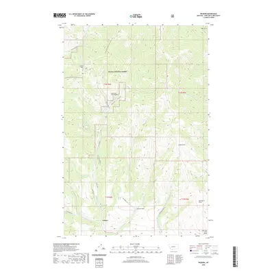 2020 Wilborn2020 Print · USGSMontana's high country is documented here in the early twenty-first century, showing the rugged intersection of the Continental Divide National Scenic Trail and the Lewis and Clark Range. Genealogists and historians can trace old travel corridors like Old Toll Rd near the settlement of Wilborn.
 - 2020 Map of Middle Creek Lake, 2020 Print
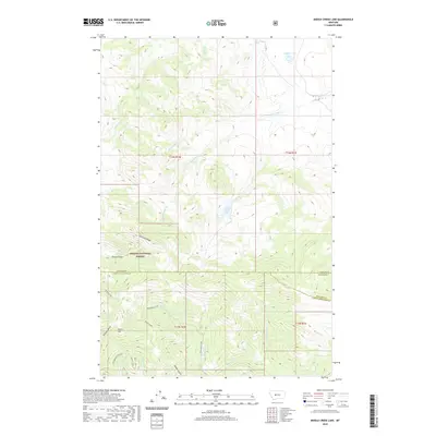 2020 Middle Creek Lake2020 Print · USGSThe high country of the Helena National Forest is detailed in this 2020 study of the Montana wilderness. Trace the topography of Shellrock Ridge and the remote waters of Middle Creek Lake or Cannon Lake.
 - 2020 Map of Lake Helena, 2020 Print
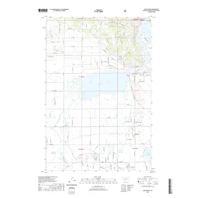 2020 Lake Helena2020 Print · USGSLewis and Clark County is seen here in the early twenty-first century, showing the complex water network that feeds the valley north of Helena. Genealogists and researchers can locate the Hardgrove & Merritt Cem and trace the paths of the Helena Valley Canal and Prickly Pear Cr.
 - 2020 Map of Candle Mountain, 2020 Print
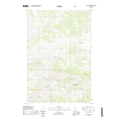 2020 Candle Mountain2020 Print · USGSThe Big Belt Mountains along the Lewis and Clark and Cascade county lines are shown here in the early twenty-first century. Outdoorsmen and researchers can locate remote landmarks like Kennedy Spring, Bear Prairie, and the deep Refrigerator Canyon.
 - 2020 Map of Hauser Lake, 2020 Print
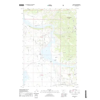 2020 Hauser Lake2020 Print · USGSThe Missouri River and Hauser Lake dominate this Lewis and Clark County landscape, where the settlement of York sits among a network of historic river bars. Genealogists and local historians can locate York Cem or trace the geography of Eldorado Bar and Spokane Bar.
 - 2020 Map of Greenhorn Mountain, 2020 Print
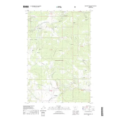 2020 Greenhorn Mountain2020 Print · USGSThe Continental Divide near Marysville is captured in this modern survey, showing the high-altitude transit routes through the Helena National Forest. Researchers can trace the path of the Continental Divide National Scenic Trail and locate historic landmarks like the Mullan Tunnel and Drumlummon Hill.
 - 2020 Map of Swede Gulch, 2020 Print
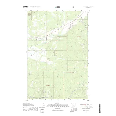 2020 Swede Gulch2020 Print · USGSLewis and Clark County is shown in this modern survey of the high mountain drainages and national forest lands near the Continental Divide. Researchers can trace land use through features like the Grosfield Ditch or locate family-named landmarks such as Ethel Gulch and Swede Gulch.
 - 2020 Map of Black Mountain, 2020 Print
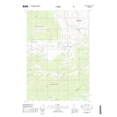 2020 Black Mountain2020 Print · USGSThe mountain landscape west of Helena is revealed in this contemporary survey, showcasing a mix of military training grounds and forest lands. Genealogists and hikers can trace old routes through Nelson Gulch, Colorado Gulch, and the high reaches of Black Mtn.
 - 2020 Map of Scratchgravel Hills, 2020 Print
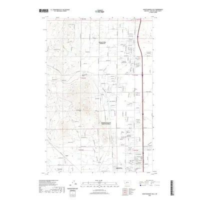 2020 Scratchgravel Hills2020 Print · USGSThe northern fringes of Helena and the Scratchgravel Hills are captured here in the early twenty-first century. Researchers can locate significant sites including the Franklin Mine, Fort Harrison Army Airfield, and several cemeteries like Forest Vale Cem.
 - 2020 Map of Moose Creek, 2020 Print
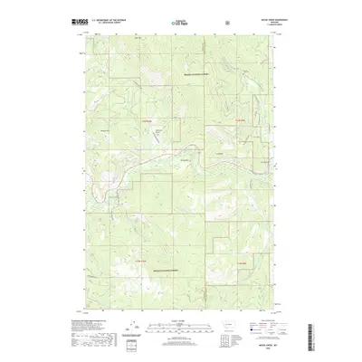 2020 Moose Creek2020 Print · USGSIn the high country on the Powell and Lewis and Clark county line, this recent survey captures the remote mountain drainages of the Helena National Forest. Researchers can trace the path of the Lincoln Ditch 1 or locate the Lincoln Gulch Cem near Lincoln Gulch.
 - 2020 Map of Canyon Ferry, 2020 Print
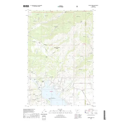 2020 Canyon Ferry2020 Print · USGSCanyon Ferry and the Missouri River basin are shown here during the recent era of lakeside development and forest management. Researchers can locate the Canyon Ferry Cemetery, trace the Helena Valley Canal Tunnel, and explore the gulches surrounding York.
 - 2020 Map of MacDonald Pass, 2020 Print
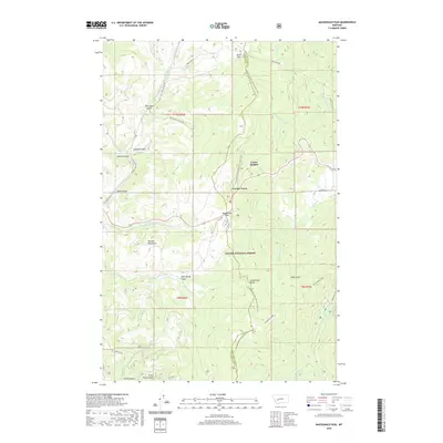 2020 MacDonald Pass2020 Print · USGSThe high mountain passes of the Continental Divide come into sharp focus in this recent survey of the Montana Rockies. Trace the intersection of historic travel and modern recreation at Frontier Town, MacDonald Pass, and along the Continental Divide National Scenic Trail.
 - 2020 Map of Canyon Creek, 2020 Print
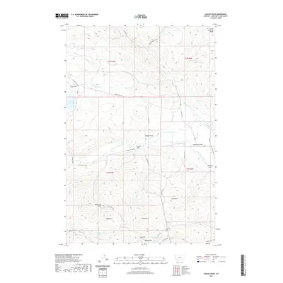 2020 Canyon Creek2020 Print · USGSCanyon Creek and the mining-rich hills of Lewis and Clark County are shown here in the modern era. Researchers can trace the layout of Marysville, locate the Marysville Cem, and follow water-rights history via the Grady Ditch and Justisson Ditch.
 - 2020 Map of Stemple Pass, 2020 Print
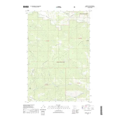 2020 Stemple Pass2020 Print · USGSHigh in the Lewis and Clark Range during the early twenty-first century, this area marks a rugged crossing of the Continental Divide. Researchers can trace the path of the Continental Divide National Scenic Trail and locate historical waterworks like the Pilgeram Ditch near Stemple Pass.
Showing maps 1-25 of 196
Top cities of Lewis and Clark County
Frequently asked questions
- What are the different types of historical maps available for Lewis and Clark County?
- What is the oldest map of Lewis and Clark County?
- Where can I purchase historical maps of Lewis and Clark County for my home or office?
- Where can I download high-res historical maps of Lewis and Clark County?
- Are there historical topographic maps available for Lewis and Clark County?
- Is there historical aerial imagery available for Lewis and Clark County?
- Where are historical maps of Lewis and Clark County sourced from?