2010s Maps of Lewis and Clark County, Montana
Explore 294 historic maps of Lewis and Clark County from the 2010s. These maps offer a rare glimpse into what life looked like during the 2010s — showing old roads, neighborhoods, homes, and landmarks that have changed or disappeared over time.
Whether you're researching your family's past, planning a metal detecting trip, or studying how Lewis and Clark County's landscape evolved across the 2010s, these high-resolution maps are a powerful tool for exploring the history of this region.
- Focus on a specific era: All maps on this page are from the 2010s, giving you a focused view of this time period.
- See what’s changed: Compare century-old streets, trails, and buildings to today's modern landscape using overlays and satellite layers.
- Research with precision: Use these maps for genealogy, historical research, land use analysis, or educational projects.
- View, download, or print: Maps are fully viewable online in high resolution, and can be downloaded or printed for your own records.
Start exploring Lewis and Clark County's history through authentic maps from the 2010s. This is your window into the past.
Lewis and Clark County, MT maps
(294)- 2011 Map of Hellgate Gulch, 2011 Print
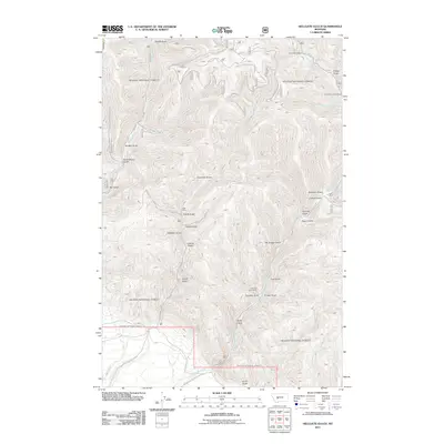 2011 Hellgate Gulch2011 Print · USGSThe mining corridors of Lewis and Clark County are clearly delineated in this early twenty-first-century survey. Trace the legacy of local extraction at the Argo Mine and Thompson Creek Mine or follow the routes of Magpie Gulch Rd.
 - 2011 Map of Stonewall Mountain, 2011 Print
 2011 Stonewall Mountain2011 Print · USGSLewis and Clark County mining and mountain peaks are documented here in the early twenty-first century. Researchers can trace historic extraction sites like the Copper Camp Mine and Cotter Mine or locate the remote Upper Copper Lake.
 - 2011 Map of Lake Helena, 2011 Print
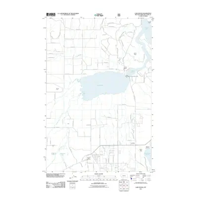 2011 Lake Helena2011 Print · USGSThe Helena Valley in the early twenty-first century reveals a sophisticated network of water engineering and residential growth. Genealogists and local historians can trace the development of the Masonic Home, Stansfield Lake, and the SW SW Section 8 Mine.
 - 2011 Map of Olson Peak, 2011 Print
 2011 Olson Peak2011 Print · USGSMontana's high backcountry in Lewis and Clark County is documented here at the start of the decade, showing a landscape defined by water and rock. Researchers can trace the headwaters of the North Fork Blackfoot River and locate remote landmarks like Twin Lakes and Galusha Peak.
 - 2011 Map of Cadotte Creek, 2011 Print
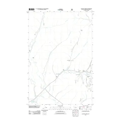 2011 Cadotte Creek2011 Print · USGSLewis and Clark County mining and ranching history are preserved here in the early twenty-first century. Researchers can trace the legacy of resource extraction at the Carbonate Mine or locate early homesteading sites like Fickler Ranch and Cox Ranch.
 - 2011 Map of Scapegoat Mountain, 2011 Print
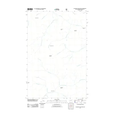 2011 Scapegoat Mountain2011 Print · USGSLewis and Clark County in the early twenty-first century remains a primitive landscape of high peaks and river headwaters. Researchers can trace the drainage patterns of Dearborn River and locate remote landmarks like Halfmoon Park and Cigarette Rock.
 - 2011 Map of Nelson, 2011 Print
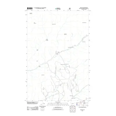 2011 Nelson2011 Print · USGSThe mountain terrain of Lewis and Clark County comes into focus in this 2011 survey, centered on the community of Nelson. You can trace old mining history at the Doig Mine or locate high-altitude landmarks like Sacajawea Mountain and the Devils Tower.
 - 2011 Map of Patricks Basin, 2011 Print
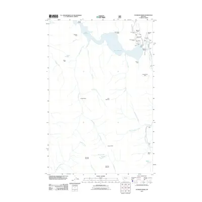 2011 Patricks Basin2011 Print · USGSLewis and Clark County's high country is documented here in the early twenty-first century, centered on the waters of the Sun River. Local history and outdoor researchers can trace paths to the Gibson Lake Lodge, the Gibson Dam, and the remote Sheep Sheds.
 - 2011 Map of Blowout Mountain, 2011 Print
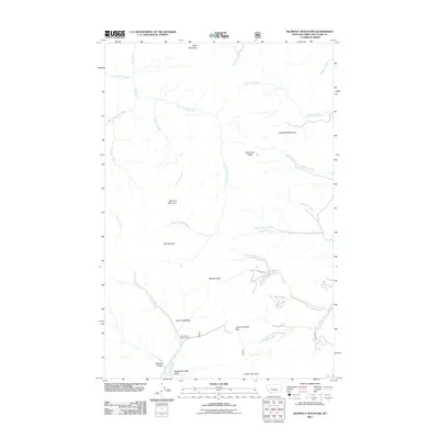 2011 Blowout Mountain2011 Print · USGSThe Continental Divide at the start of the twenty-first century is documented here with focus on the high peaks of Lewis and Clark County. Researchers can trace remote Forest Service landmarks like the Alice Creek Ranger Cabin and the historic Lewis and Clark Pass.
 - 2011 Map of Hauser Lake, 2011 Print
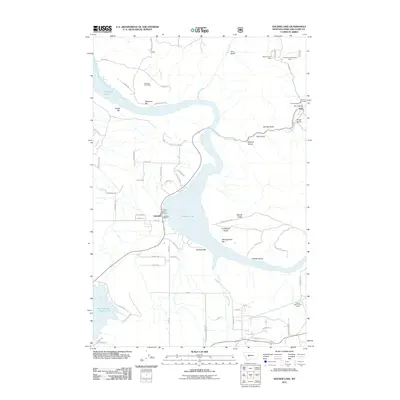 2011 Hauser Lake2011 Print · USGSUpper Missouri River country in the early twenty-first century is captured here as a mix of recreational shorelines and old mining claims. Researchers can trace the layout of York, locate the York Cemetery, and identify mineral sites like the Eldorado Strip Mine.
 - 2011 Map of Candle Mountain, 2011 Print
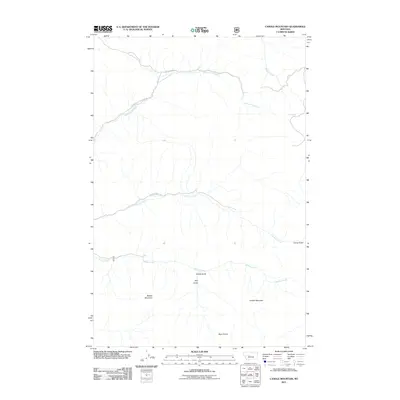 2011 Candle Mountain2011 Print · USGSCascade County high country comes into focus in this early 21st-century survey of the peaks and drainages south of the Missouri River. Trace the remote network of tracks like Bear Tooth Rd through the terrain surrounding Candle Mountain and Bear Prairie.
 - 2011 Map of Pretty Prairie, 2011 Print
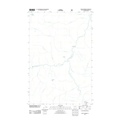 2011 Pretty Prairie2011 Print · USGSThe Montana wilderness in Lewis and Clark County remains largely primitive in the early twenty-first century, anchored by the river systems of the Sun River valley. Researchers can trace the drainages of Wapiti Creek and Bighead Creek or locate landmarks like Camp Allan and Pretty Prairie.
 - 2011 Map of Castle Reef, 2011 Print
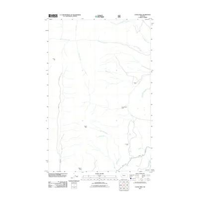 2011 Castle Reef2011 Print · USGSLewis and Clark County is shown at the start of the 2010s as a high-plains landscape defined by ranching and mountain drainages. Genealogists and local historians can locate Kellogg Ranch and Davy High Ranch or trace the path of the Pishkun Canal.
 - 2011 Map of Steamboat Mountain, 2011 Print
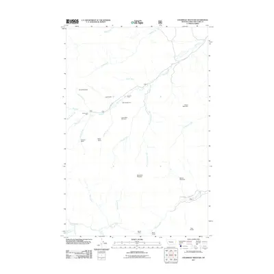 2011 Steamboat Mountain2011 Print · USGSThe Rocky Mountain Front in Lewis and Clark County is captured here in the early twenty-first century, showing a landscape of high peaks and isolated ranching outposts. Researchers can trace land use at Sky Mountain Ranch or locate landmarks like Delta Queen Dam and Devils Glen.
 - 2011 Map of Gates Park, 2011 Print
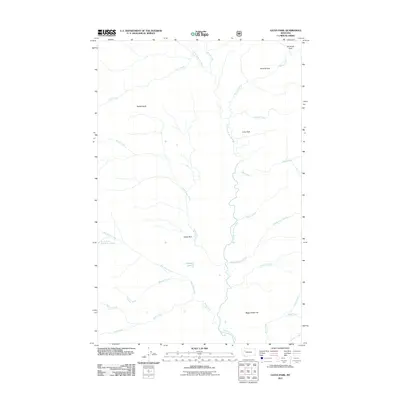 2011 Gates Park2011 Print · USGSThis Lewis and Clark County landscape, as mapped in 2011, centers on the high meadows and drainage basins of the North Fork Sun River. Researchers can trace the network of creek-fed openings like Gates Park, Lone Park, and the waters of Gates Lake.
 - 2011 Map of Louisville, 2011 Print
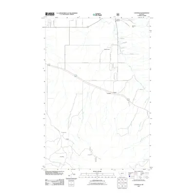 2011 Louisville2011 Print · USGSJefferson County was experiencing a transition from its mining roots to rural residential growth at the start of the decade. Genealogists and historians can trace the local landscape through landmarks like Turner Cemetery, Louisville, and the Economy Mine.
 - 2011 Map of Silver King Mountain, 2011 Print
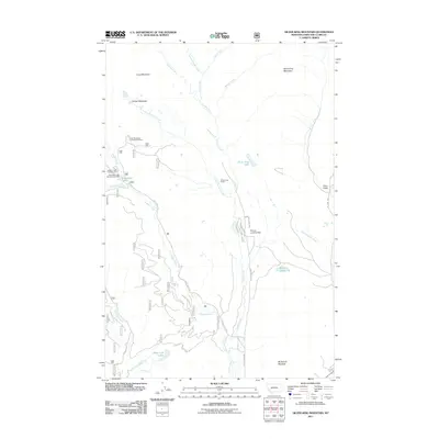 2011 Silver King Mountain2011 Print · USGSHigh mountain ranching and backcountry recreation define this corner of Lewis and Clark County in the early twenty-first century. Researchers can trace land use through landmarks like Silver King Ranch, the Elk Trail Landing Strip, and the Copper Creek Campground.
 - 2011 Map of Lingshire, 2011 Print
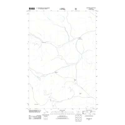 2011 Lingshire2011 Print · USGSMeagher County high country is mapped here in the early twenty-first century, showing the isolated settlement of Lingshire. Genealogists and hikers can trace the drainage of Rock Creek through Buffalo Canyon or locate Moonshine Gulch and Calamity Gulch.
 - 2011 Map of Double Falls, 2011 Print
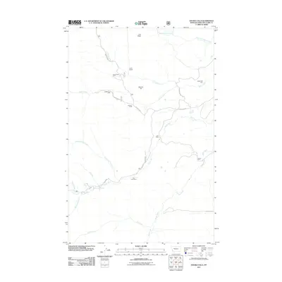 2011 Double Falls2011 Print · USGSLewis and Clark County ranching and recreation are captured in this 2011 record of the Montana high country. Genealogists and historians can trace family properties like Cobb Ranch and Weisner Ranch near the waters of Double Falls.
 - 2011 Map of Porphyry Reef, 2011 Print
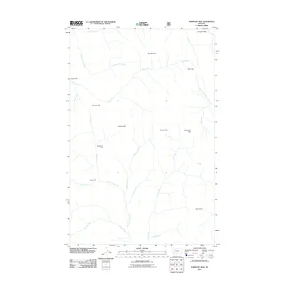 2011 Porphyry Reef2011 Print · USGSFlathead County at the start of the twenty-first century remains a wilderness defined by high summits and the headwaters of the Rockies. Researchers can trace remote geographic crossings at Teton Pass and Sun River Pass or locate high mountain meadows like Grizzly Park.
 - 2011 Map of Flint Mountain, 2011 Print
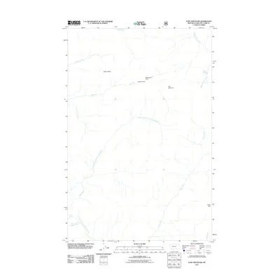 2011 Flint Mountain2011 Print · USGSMontana's high wilderness in Lewis and Clark County is defined by the Continental Divide during the early twenty-first century. Researchers can trace the rugged headwaters of the South Fork Sun River and identify landmarks like Flint Mountain and Trident Peaks.
 - 2011 Map of Hogback Mountain, 2011 Print
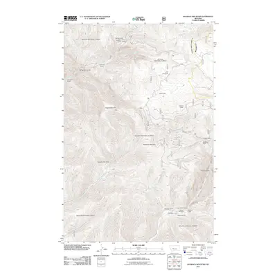 2011 Hogback Mountain2011 Print · USGSLewis and Clark County's high country is mapped here in the early twenty-first century, showing a landscape shaped by narrow canyons and remote ranches. Researchers can locate the B K Ranch, trace the path through Trout Creek Canyon, or find the Pike Gulch Campground.
 - 2011 Map of Middle Creek Lake, 2011 Print
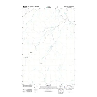 2011 Middle Creek Lake2011 Print · USGSCascade County's high ridges and creek drainages are captured here in the early twenty-first century. Researchers can trace remote outposts like Tyrell Camp and Hump Cabin or locate the Middle Creek Lake Dam and Cannon Lake.
 - 2011 Map of Wood Lake, 2011 Print
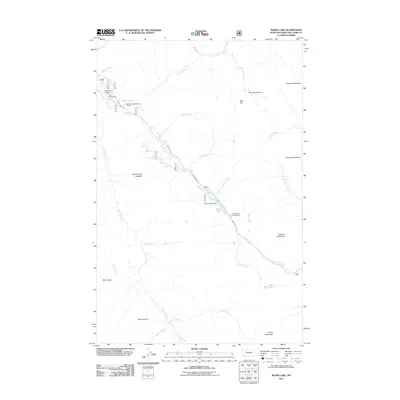 2011 Wood Lake2011 Print · USGSLewis and Clark County at the start of the 2010s shows a landscape geared toward wilderness access and remote utility. Genealogists and local historians can trace the paths of Benchmark Rd to Benchmark Wilderness Ranch and Wood Lake Dam.
 - 2011 Map of Beartooth Mountain, 2011 Print
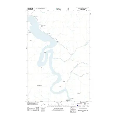 2011 Beartooth Mountain2011 Print · USGSThe Missouri River carves through Lewis and Clark County in this modern survey, highlighting the intersection of wilderness and recreation. Genealogists and historians can locate remote landmarks like Sperry Ranch and the Mann Gulch Fire Smokejumper Memorials.
Showing maps 1-25 of 294
Top cities of Lewis and Clark County
Frequently asked questions
- What are the different types of historical maps available for Lewis and Clark County?
- What is the oldest map of Lewis and Clark County?
- Where can I purchase historical maps of Lewis and Clark County for my home or office?
- Where can I download high-res historical maps of Lewis and Clark County?
- Are there historical topographic maps available for Lewis and Clark County?
- Is there historical aerial imagery available for Lewis and Clark County?
- Where are historical maps of Lewis and Clark County sourced from?