1970s Maps of Lewis and Clark County, Montana
Explore 25 historic maps of Lewis and Clark County from the 1970s. These maps offer a rare glimpse into what life looked like during the 1970s — showing old roads, neighborhoods, homes, and landmarks that have changed or disappeared over time.
Whether you're researching your family's past, planning a metal detecting trip, or studying how Lewis and Clark County's landscape evolved across the 1970s, these high-resolution maps are a powerful tool for exploring the history of this region.
- Focus on a specific era: All maps on this page are from the 1970s, giving you a focused view of this time period.
- See what’s changed: Compare century-old streets, trails, and buildings to today's modern landscape using overlays and satellite layers.
- Research with precision: Use these maps for genealogy, historical research, land use analysis, or educational projects.
- View, download, or print: Maps are fully viewable online in high resolution, and can be downloaded or printed for your own records.
Start exploring Lewis and Clark County's history through authentic maps from the 1970s. This is your window into the past.
Lewis and Clark County, MT maps
(25)- 1970 Map of Danaher Mountain, 1973 Print
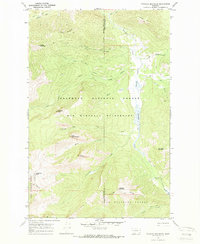 1970 Danaher Mountain1973 Print · USGSThe Bob Marshall Wilderness in the early 1970s remained a remote landscape of pack trails and alpine summits. Researchers can trace historic mountain routes like the Hahn Creek Trail and locate the isolated Danaher Guard Station near Danaher Meadows.2 unique versions available
 - 1970 Map of Scapegoat Mountain, 1973 Print
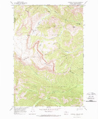 1970 Scapegoat Mountain1973 Print · USGSThe high country of Lewis and Clark County is documented in the early 1970s, showcasing the intricate network of wilderness pack trails. Trace the routes through Straight Creek Pass and identify remote administrative sites like Green Fork Guard Sta and Carmichael Guard Sta.
 - 1970 Map of Steamboat Mountain, 1973 Print
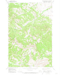 1970 Steamboat Mountain1973 Print · USGSThe Lewis and Clark National Forest backcountry comes into focus in the early 1970s, showing a rugged landscape of high peaks and isolated ranch outposts. Researchers can trace remote trails to find Cataract Falls, Elk Creek Ranch, and the C Barn Camp along the Dearborn River.2 unique versions available
 - 1970 Map of Jakie Creek, 1973 Print
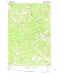 1970 Jakie Creek1973 Print · USGSThe Montana backcountry along the Continental Divide is captured here in the early seventies, spanning two national forests. Researchers can trace the remote Welcome Creek Guard Sta and historic pack trails leading to Steamboat Mtn Lookout and Twin Lakes.
 - 1970 Map of Prairie Reef, 1973 Print
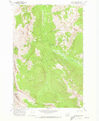 1970 Prairie Reef1973 Print · USGSThe Bob Marshall Wilderness and Sun River Game Preserve are captured here in the early 1970s. Trace the Continental Divide and find remote outposts like the Indian Point Guard Sta and the Prairie Reef Lookout.3 unique versions available
 - 1970 Map of Flint Mountain, 1973 Print
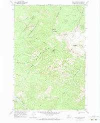 1970 Flint Mountain1973 Print · USGSThe Continental Divide marks the heart of this Montana wilderness in the early seventies. Trace the pack trails used by rangers and travelers, such as the Cabin Creek Trail and North Fork Trail, as they navigate around Flint Mtn and Sun Lake.2 unique versions available
 - 1970 Map of Haystack Mountain, 1973 Print
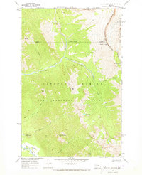 1970 Haystack Mountain1973 Print · USGSPowell County and the high mountain passes of western Montana are captured here during the 1970s. Trace the path of the Continental Divide and find remote sites like the Work Center, Needle Falls, and Prisoner Lake.
 - 1970 Map of Three Sisters, 1973 Print
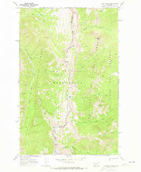 1970 Three Sisters1973 Print · USGSThe Montana high country along the Continental Divide is captured here in the early 1970s. Trace primitive routes and remote mountain waters including Hart Lake, Sock Lake, and the named peaks of the Three Sisters.
 - 1970 Map of Wood Lake, 1973 Print
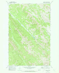 1970 Wood Lake1973 Print · USGSThe Lewis and Clark National Forest backcountry is mapped here in 1970, showing a landscape defined by pack trails and remote air access. Trace early recreation sites like Benchmark Airfield and the Fly-in Campground or hunt for high-country landmarks like Cyanide Mtn.
 - 1970 Map of Double Falls, 1973 Print
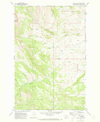 1970 Double Falls1973 Print · USGSThe Lewis and Clark National Forest backcountry in the early 1970s was a landscape of remote ranching and pack trails. Researchers can trace historic mountain outposts and livestock sites like Hidden Valley Ranch, Cobb Ranch, and the Fish and Game Cabin.2 unique versions available
 - 1970 Map of Benchmark, 1973 Print
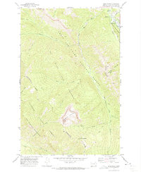 1970 Benchmark1973 Print · USGSThe Montana wilderness around the Sun River was a hub of backcountry activity in the 1970s. Researchers can trace the network of pack trails and remote outposts like the Benchmark Work Center, Benchmark Airfield, and the Patrol Mountain lookout.2 unique versions available
 - 1970 Map of Slategoat Mountain, 1973 Print
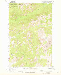 1970 Slategoat Mountain1973 Print · USGSThe high Continental Divide backcountry of Lewis and Clark County is documented here during the 1970s. Trace the primitive routes through the Bob Marshall Wilderness to landmarks like the Chinese Wall and Rock Creek Guard Sta.2 unique versions available
 - 1970 Map of Amphitheatre Mountain, 1973 Print
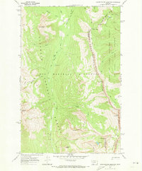 1970 Amphitheatre Mountain1973 Print · USGSHigh in the Northern Rockies during the early 1970s, this area centers on the remarkable Chinese Wall. Hikers and historians can trace traditional routes like the Larch Hill Trail past landmarks such as Amphitheatre Mountain and Diamond Lake.2 unique versions available
 - 1970 Map of Pentagon Mountain, 1973 Print
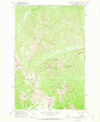 1970 Pentagon Mountain1973 Print · USGSThe Bob Marshall Wilderness in the early 1970s is shown here at the height of its protected status. Traced via pack trails, researchers can locate remote landmarks like Switchback Pass, Dean Lake, and the summit of Pentagon Mountain along the Continental Divide.
 - 1970 Map of Nilan Reservoir, 1973 Print
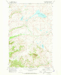 1970 Nilan Reservoir1973 Print · USGSThe Montana ranchlands near the Sun River valley appear here in the early 1970s as a landscape of wide-open range and essential water projects. Genealogists and researchers can trace family lands near L F Ranch or locate geographic markers like Haystack Butte and Nilan Reservoir.
 - 1970 Map of Trap Mountain, 1973 Print
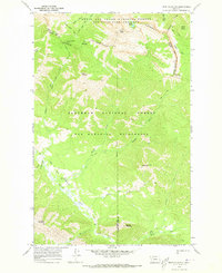 1970 Trap Mountain1973 Print · USGSThe Continental Divide and the Bob Marshall Wilderness meet in this 1970s survey of the Montana high country. Backcountry researchers can trace the Jumbo Lookout Trail, the Basin Creek Guard Station, and landmarks like Hoadley Reef.2 unique versions available
 - 1972 Map of Hauser Lake, 1975 Print
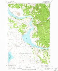 1972 Hauser Lake1975 Print · USGSThe Missouri River canyon near Helena was a landscape of mining and water engineering in the early 1970s. Researchers can locate the York Cem, trace the Helena Valley Canal, or find historic sites at York and the Eldorado Strip Mine.2 unique versions available
 - 1972 Map of Canyon Ferry SW, 1975 Print
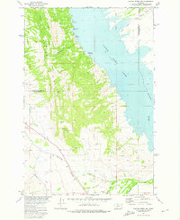 1972 Canyon Ferry SW1975 Print · USGSThe eastern Spokane Hills meet the waters of the Missouri River in the early seventies, showing a landscape shaped by both recreation and industry. Researchers can trace the Burlington Northern line or locate family history at Winston Cem and Potter Dam.
 - 1972 Map of Lake Helena, 1975 Print
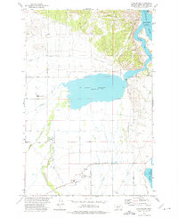 1972 Lake Helena1975 Print · USGSThe Helena Valley in the mid-1970s shows a complex network of irrigation canals and rural institutions centered around Lake Helena. Researchers can trace old school sites like Mountain View Sch, the Masonic Home, and early mining activity at Prospects.2 unique versions available
 - 1972 Map of Canyon Ferry, 1976 Print
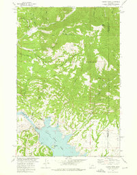 1972 Canyon Ferry1976 Print · USGSThe Missouri River corridor near the Lewis and Clark and Broadwater county line is shown here in the early 1970s. Trace the industrial footprint of the Golden Messenger Mine or locate early recreation sites like the Court Sheriff Recreation Area and Canyon Ferry Dam.2 unique versions available
 - 1972 Map of Hellgate Gulch, 1976 Print
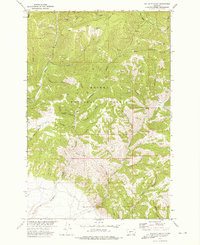 1972 Hellgate Gulch1976 Print · USGSThe Big Belt Mountains within Helena National Forest appear here in the early 1970s, showing a land of steep gulches and isolated pack trails. Researchers can trace historic access and mining efforts via numerous prospects and rugged routes like Kilgallon Gulch and Never Sweat Gulch.2 unique versions available
 - 1975 Map of Elliston, 1993 Print
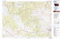 1975 Elliston1993 Print · USGSWestern Montana's rugged high-country comes into focus during the mid-seventies, showing the intersection of heavy industry and wilderness. Genealogists and historians can trace rail lines like the Milwaukee Road and locate remote sites such as the Swansea Mine or Wall City.
 - 1975 Map of Canyon Ferry Dam, 1994 Print
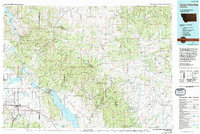 1975 Canyon Ferry Dam1994 Print · USGSThe Missouri River and Big Belt Mountains define this Montana landscape during the mid-seventies. Genealogists and historians can trace old mining sites like the Snowback Mine and industrial settlements including White City and Louisville.
 - 1976 Map of Choteau
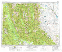 1976 Choteau1976 Print · USGSThe Montana Rocky Mountain Front meets the plains in the 1970s, showcasing the high-altitude wilderness and the irrigation-fed ranching country. Trace the Great Northern Railway through Choteau or locate rural landmarks like the Farmington Cemetery and Gibson Reservoir.
 - 1976 Map of Great Falls South, 1994 Print
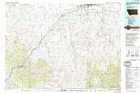 1976 Great Falls South1994 Print · USGSCascade County in the mid-seventies reveals a landscape defined by the winding Missouri River and the high peaks of the Little Belt Mountains. Researchers can trace the heritage of mining settlements like Centerville, Stockett, and Number Seven or explore the boundaries of the Lewis and Clark National Forest.
End of results
Showing maps 1-25 of 25
Top cities of Lewis and Clark County
Frequently asked questions
- What are the different types of historical maps available for Lewis and Clark County?
- What is the oldest map of Lewis and Clark County?
- Where can I purchase historical maps of Lewis and Clark County for my home or office?
- Where can I download high-res historical maps of Lewis and Clark County?
- Are there historical topographic maps available for Lewis and Clark County?
- Is there historical aerial imagery available for Lewis and Clark County?
- Where are historical maps of Lewis and Clark County sourced from?