1990s Maps of Lewis and Clark County, Montana
Explore 33 historic maps of Lewis and Clark County from the 1990s. These maps offer a rare glimpse into what life looked like during the 1990s — showing old roads, neighborhoods, homes, and landmarks that have changed or disappeared over time.
Whether you're researching your family's past, planning a metal detecting trip, or studying how Lewis and Clark County's landscape evolved across the 1990s, these high-resolution maps are a powerful tool for exploring the history of this region.
- Focus on a specific era: All maps on this page are from the 1990s, giving you a focused view of this time period.
- See what’s changed: Compare century-old streets, trails, and buildings to today's modern landscape using overlays and satellite layers.
- Research with precision: Use these maps for genealogy, historical research, land use analysis, or educational projects.
- View, download, or print: Maps are fully viewable online in high resolution, and can be downloaded or printed for your own records.
Start exploring Lewis and Clark County's history through authentic maps from the 1990s. This is your window into the past.
Lewis and Clark County, MT maps
(33)- 1993 Map of Dearborn River
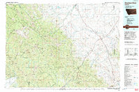 1993 Dearborn River1993 Print · USGSThe Montana wilderness and the Front Range come alive in this early 1990s overview of the high country near Augusta. Outdoor historians and researchers can trace the Continental Divide Trail or locate remote sites like Copper Camp and Milford Colony.
 - 1993 Map of Seeley Lake
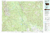 1993 Seeley Lake1993 Print · USGSThe Seeley Lake region in the early nineties is shown here as a landscape defined by its great wilderness boundaries and glacial waters. Researchers can trace the layout of Seeley Lake, the remote Danaher Guard Station, and historic routes like Montana 200 near Ovando.
 - 1994 Map of Butte North
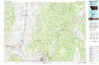 1994 Butte North1994 Print · USGSWestern Montana in the nineties was a landscape defined by ranching legacy and high-altitude mining. Genealogists and historians can trace institutional history at the Deer Lodge Prison Farm or locate old claims like the Saratoga Mine and Morning Glory Mine.
 - 1994 Map of Amphitheatre Mountain, 1997 Print
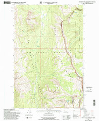 1994 Amphitheatre Mountain1997 Print · USGSHigh in the Montana Rockies during the mid-nineties, this survey captures the legendary Chinese Wall where it intersects the Continental Divide. Trace the remote trails of the Bob Marshall Wilderness past peaks like Sphinx Peak and Turtlehead Mountain.
 - 1994 Map of Trap Mountain, 1997 Print
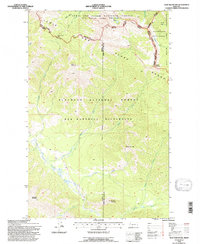 1994 Trap Mountain1997 Print · USGSThe Lewis and Clark Range remained a primitive wilderness in the 1990s, where the Continental Divide meets the Bob Marshall and Scapegoat Wilderness areas. Researchers can trace high-altitude navigation routes like the Continental Divide Trail and locate the remote Basin Creek Cabin.
 - 1994 Map of Haystack Mountain, 1997 Print
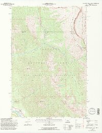 1994 Haystack Mountain1997 Print · USGSThe high Montana backcountry of the mid-1990s is captured here, tracing the rugged divide where the Bob Marshall Wilderness meets the Flathead Alps. Researchers can locate remote outposts like the Big Prairie Work Center and high-altitude crossings at White River Pass.2 unique versions available
 - 1994 Map of Danaher Mountain, 1997 Print
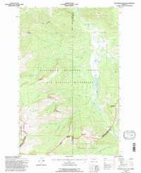 1994 Danaher Mountain1997 Print · USGSIn the mid-1990s, the high mountain divide between Powell and Lewis and Clark counties remained a primitive wilderness sanctuary. Researchers can trace remote alpine trails and landmarks like Danaher Cabin, Limestone Pass, and the summit of Danaher Mountain.
 - 1994 Map of Pentagon Mountain, 1997 Print
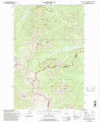 1994 Pentagon Mountain1997 Print · USGSThe Bob Marshall Wilderness and the Continental Divide define this Montana backcountry in the 1990s. Trace remote mountain routes like the Continental Divide National Scenic Trail past Pentagon Mountain and Lake Levale.
 - 1995 Map of Wood Lake, 1997 Print
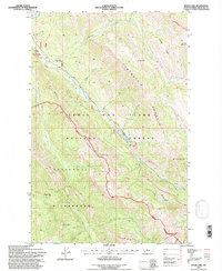 1995 Wood Lake1997 Print · USGSThe Montana backcountry in the mid-1990s is captured here, showing the intersection of the Sawtooth Range and the Scapegoat Wilderness. Outdoor historians and researchers can trace remote outposts like the Benchmark Wilderness Ranch and the Benchmark Airfield.
 - 1995 Map of Gates Park, 1997 Print
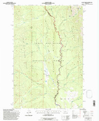 1995 Gates Park1997 Print · USGSThe Montana Rockies meet the North Fork Sun River in the mid-1990s within the Bob Marshall Wilderness. Researchers can trace the high-country paths of the Continental Divide National Scenic Trail and locate the remote structures at Gates Park.
 - 1995 Map of Pretty Prairie, 1997 Print
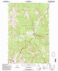 1995 Pretty Prairie1997 Print · USGSThe Montana high country at the end of the twentieth century is preserved here, showing where the Bob Marshall Wilderness meets the Scapegoat Wilderness. Researchers can trace the path of the Continental Divide National Scenic Trail across the Packbridge and past Deadman Hill.
 - 1995 Map of Patricks Basin, 1997 Print
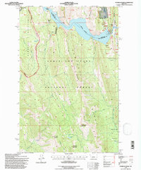 1995 Patricks Basin1997 Print · USGSThe Rocky Mountain Front meets the edge of the plains in the mid-1990s, where the massive Gibson Reservoir cuts through the canyon walls. Researchers can trace the remote trails of the Bob Marshall Wilderness and locate landmarks like the Gibson Lake Lodge and Allan Mountain.
 - 1995 Map of Porphyry Reef, 1997 Print
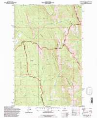 1995 Porphyry Reef1997 Print · USGSThe Montana backcountry is preserved here in the mid-1990s at the intersection of the Flathead and Lewis and Clark national forests. Trace remote hiking routes through Sun River Pass or follow the Continental Divide Scenic Trail past landmarks like Washboard Reef.
 - 1995 Map of Nilan Reservoir, 1997 Print
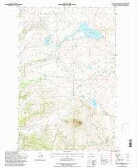 1995 Nilan Reservoir1997 Print · USGSIn the mid-1990s, this portion of Montana was defined by the massive Nilan Reservoir and the surrounding high-plains ranching country. Researchers can trace the layout of the L F Ranch or explore the rugged topography of Haystack Butte and Swallow Canyon.
 - 1995 Map of Glenn Creek, 1997 Print
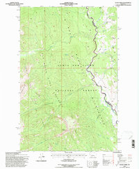 1995 Glenn Creek1997 Print · USGSThe Montana wilderness in the mid-nineties remains a landscape of high peaks and protected preserves. Hikers and historians can trace primitive routes along Two Shacks Trail or locate remote natural landmarks like Hazard Lake and Sulphur Creek Lick.
 - 1995 Map of Castle Reef, 1997 Print
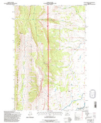 1995 Castle Reef1997 Print · USGSThe Sawtooth Range meets the Sun River during the mid-nineties in this detailed look at the Montana backcountry. Genealogists and researchers can trace local family holdings like Kellogg Ranch and Davy High Ranch near Wagner Basin.
 - 1995 Map of Scapegoat Mountain, 1997 Print
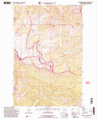 1995 Scapegoat Mountain1997 Print · USGSThe high peaks of Lewis and Clark County are captured here in the mid-1990s, showcasing the intersection of the Scapegoat and Lolo forests. Researchers can trace remote alpine routes like the Scenic Trail past landmarks such as Cigarette Rock and the Green Fork Guard Station.2 unique versions available
 - 1995 Map of Split Rock Lake, 1997 Print
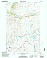 1995 Split Rock Lake1997 Print · USGSIn the mid-1990s, the border of Teton and Lewis and Clark Counties preserved a landscape of evolving ranching and vital irrigation. Genealogists and historians can trace former homesteads like Carlson Ranch (Aband) or locate the Indian Burial Ground near the Sun River.
 - 1995 Map of Arsenic Mountain, 1997 Print
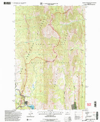 1995 Arsenic Mountain1997 Print · USGSThe Rocky Mountain Front in the 1990s presents a remote landscape of high peaks and protected wilderness along the Sun River. Local historians can locate the K-L Ranch, trace the Mortimer Gulch Trail, and find the historic White Cabin (Site).2 unique versions available
 - 1995 Map of Barr Creek, 1997 Print
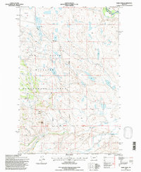 1995 Barr Creek1997 Print · USGSThe Sun River country comes into focus in the mid-1990s, where wildlife conservation and ranching meet at the Lewis and Clark County line. Trace irrigation history through the Geldrich Ditch and Kirkaldie Canal, or locate the Morris Ranch.
 - 1995 Map of Bean Lake, 1997 Print
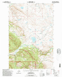 1995 Bean Lake1997 Print · USGSRanching and water rights define this Montana landscape during the mid-nineties. Researchers can trace historic family holdings like the Barrett Ranch or Bean Ranch and the intricate irrigation paths of Mosher Ditch.
 - 1995 Map of Steamboat Mountain, 1997 Print
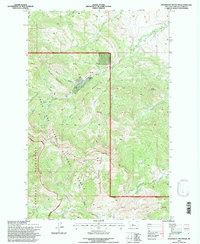 1995 Steamboat Mountain1997 Print · USGSThe high peaks and deep canyons of Lewis and Clark County are shown here in the mid-1990s as the wilderness boundary meets private holdings. Researchers can trace the water network from Cataract Falls to Devils Glen or locate landmarks like Elk Creek Ranch.
 - 1995 Map of Jakie Creek, 1997 Print
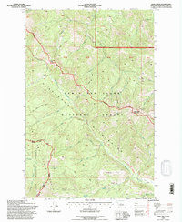 1995 Jakie Creek1997 Print · USGSThe Lewis and Clark National Forest backcountry is mapped here in the mid-1990s as it appeared just before the turn of the millennium. Researchers can trace the Continental Divide Scenic Trail past Steamboat Mountain and the Grassy Hills Cabin.
 - 1995 Map of Three Sisters, 1997 Print
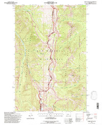 1995 Three Sisters1997 Print · USGSThe Montana high country of the mid-nineties is documented here at the intersection of the Bob Marshall Wilderness and two national forests. Trace high-altitude paths like the Continental Divide Trail past Hahn Peak and the Three Sisters peaks.
 - 1995 Map of Benchmark, 1997 Print
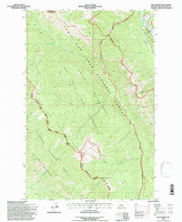 1995 Benchmark1997 Print · USGSThe Montana backcountry along the Continental Divide comes into focus in the mid-1990s, where federal wilderness areas and game preserves meet. Researchers can locate remote outposts like the Benchmark Airfield, the station at Fairview, and the high Lookout on Patrol Mountain.
Showing maps 1-25 of 33
Top cities of Lewis and Clark County
Frequently asked questions
- What are the different types of historical maps available for Lewis and Clark County?
- What is the oldest map of Lewis and Clark County?
- Where can I purchase historical maps of Lewis and Clark County for my home or office?
- Where can I download high-res historical maps of Lewis and Clark County?
- Are there historical topographic maps available for Lewis and Clark County?
- Is there historical aerial imagery available for Lewis and Clark County?
- Where are historical maps of Lewis and Clark County sourced from?