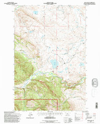
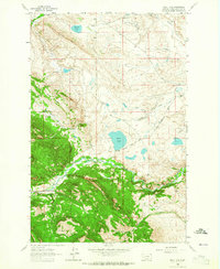
1995 Map of Bean Lake
USGS Topo · Published 1997About this map
Bean Lake sits at the heart of this landscape, where the plains meet the rising foothills of the Lewis and Clark Range. The map documents a ranching-heavy corridor along the Dearborn River, evidenced by family-named properties like White Ranch, Mosher Ranch, and the Diamond Bar X Ranch. Water management is the dominant human imprint on the land, with an intricate network of irrigation features including the Dearborn Canal, Mosher Ditch, and Cunniff Ditch designed to move water from the river to the drier flats.
Find a feature on this map
32 named features on this map. Tap any name to fly to it.
Don’t see what you’re looking for? This feature index may not catch every label — zoom into the map to look around manually.
Map Details
Editions of this 1995 Bean Lake Map
This is the sole edition of this map. No revisions or reprints were ever made.
Other maps of this area

1903 · Coopers Lake
USGS Topo · 1:125,000

1943 · Hogan
USGS Topo · 1:125,000

1955 · Choteau
USGS Topo · 1:250,000

1957 · Choteau
USGS Topo · 1:250,000

1958 · Choteau
USGS Topo · 1:250,000

1962 · Choteau
USGS Topo · 1:250,000
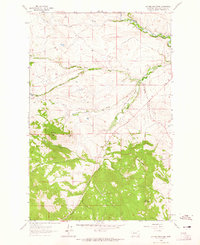
1962 · Johnson Mountain
USGS Topo · 1:24,000
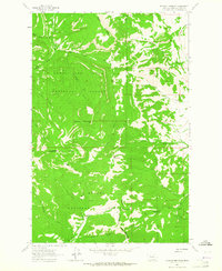
1963 · Blowout Mountain
USGS Topo · 1:24,000
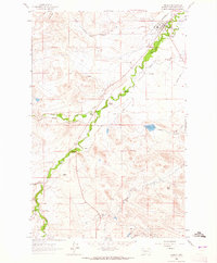
1963 · Augusta
USGS Topo · 1:24,000
1963 · Bean Lake
USGS Topo · 1:24,000