2000-2009 Maps of Lewis and Clark County, Montana
Explore 36 historic maps of Lewis and Clark County from 2000-2009. These maps offer a rare glimpse into what life looked like during the 2000s — showing old roads, neighborhoods, homes, and landmarks that have changed or disappeared over time.
Whether you're researching your family's past, planning a metal detecting trip, or studying how Lewis and Clark County's landscape evolved across the 2000s, these high-resolution maps are a powerful tool for exploring the history of this region.
- Focus on a specific era: All maps on this page are from the 2000s, giving you a focused view of this time period.
- See what’s changed: Compare century-old streets, trails, and buildings to today's modern landscape using overlays and satellite layers.
- Research with precision: Use these maps for genealogy, historical research, land use analysis, or educational projects.
- View, download, or print: Maps are fully viewable online in high resolution, and can be downloaded or printed for your own records.
Start exploring Lewis and Clark County's history through authentic maps from the 2000s. This is your window into the past.
Lewis and Clark County, MT maps
(36)- 2001 Map of Lincoln, 2004 Print
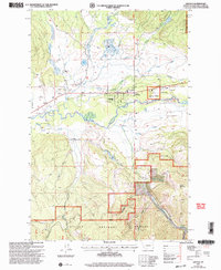 2001 Lincoln2004 Print · USGSExperience this Montana high-country hub at the dawn of the millennium, as the community of Lincoln balances ranching roots with wilderness access. Researchers can trace the Jacobson Ranch, find the Lincoln Cemetery, or locate old sites near Poorman Creek.
 - 2001 Map of Swede Gulch, 2004 Print
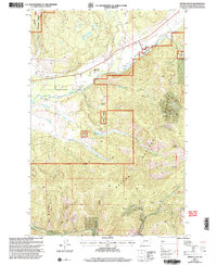 2001 Swede Gulch2004 Print · USGSMining and ranching define this Montana landscape at the turn of the millennium, centered on the upper reaches of the Blackfoot River. Researchers can trace old operations like the Columbia Mine and Seven Up Pete Mine, or locate the Seven Up Pete Ranch and its Airstrip.
 - 2001 Map of Greenhorn Mountain, 2004 Print
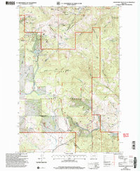 2001 Greenhorn Mountain2004 Print · USGSThe high passes of the Continental Divide come into focus in this turn-of-the-millennium survey of the northern Rockies. You can trace the path of the Mullan Tunnel and locate historic mining operations like Drumlummon and the Strawberry Mine.
 - 2001 Map of Lingshire, 2004 Print
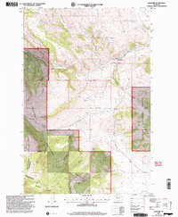 2001 Lingshire2004 Print · USGSMeagher County at the dawn of the 21st century reveals a landscape of high forest and deep gulches. Local historians can trace old mountain tracks and named water sources like Crystal Spring, Moonshine Gulch, and the remote settlement of Lingshire.
 - 2001 Map of Lake Helena, 2004 Print
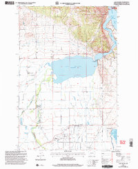 2001 Lake Helena2004 Print · USGSThe Helena Valley at the start of the twenty-first century reveals a landscape shaped by massive water projects and rural Montana life. Genealogists and historians can trace the footprint of the Masonic Home and local schoolhouses like Mountain View Sch and Harmony Sch.
 - 2001 Map of Granite Butte, 2004 Print
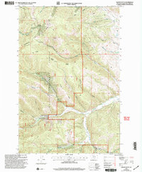 2001 Granite Butte2004 Print · USGSThe high Montana ridges of the Helena National Forest are shown here as they appeared at the start of the new millennium. Modern hikers and historians can trace the Continental Divide Trail past Granite Butte Lookout and the Queen of the Rosary Ch.
 - 2001 Map of Caribou Peak, 2004 Print
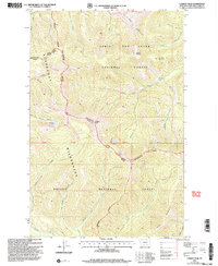 2001 Caribou Peak2004 Print · USGSThe high Montana backcountry meets at the Continental Divide during the early 2000s, showing the intersection of three major forest and wilderness areas. Researchers can trace the Continental Divide Scenic Trail past Caribou Peak and remote alpine waters like Bighorn Lake.
 - 2001 Map of East Helena, 2004 Print
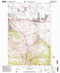 2001 East Helena2004 Print · USGSHelena and its eastern suburbs are shown in great detail at the turn of the millennium as the regional economy balanced aviation, rail, and mining. Researchers can trace land use from the Helena Regional Airport to the McClellan Creek Quarry and the Rodeo Ground.
 - 2001 Map of Cadotte Creek, 2004 Print
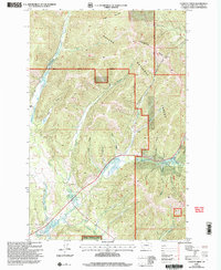 2001 Cadotte Creek2004 Print · USGSThe high watershed of the Lewis and Clark County mountains is mapped here at the start of the new millennium. Researchers can trace historic mountain crossings at Cadotte Pass and Rogers Pass or locate family ranchlands like Fickler Ranch.
 - 2001 Map of Chessman Reservoir, 2004 Print
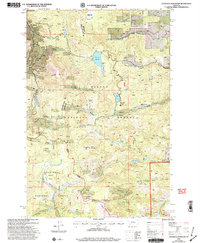 2001 Chessman Reservoir2004 Print · USGSThe mining landscape near Rimini is documented here at the start of the new millennium. Metal detectorists and local historians can trace decades of extraction through the Ida May Mine, dozens of Prospects, and the high-country waters of Chessman Reservoir.
 - 2001 Map of Hellgate Gulch, 2004 Print
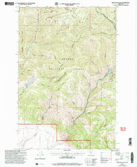 2001 Hellgate Gulch2004 Print · USGSBroadwater County’s rugged canyon country is captured here at the start of the millennium within the Helena National Forest. Researchers can locate mining history at the Argo Mine and trace the named drainages of Hellgate Gulch and Avalanche Gulch.
 - 2001 Map of Black Mountain, 2004 Print
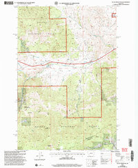 2001 Black Mountain2004 Print · USGSThe peaks and gulches west of Helena appear here in the early 2000s, showing a landscape shaped by mining and essential water infrastructure. Researchers can trace the Tenmile Environmental Educational Trail or locate several Prospects near Blue Cloud Creek.
 - 2001 Map of Beartooth Mountain, 2004 Print
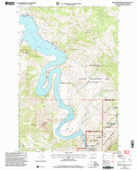 2001 Beartooth Mountain2004 Print · USGSThe Missouri River canyon north of Helena comes alive on this 2001 map, documenting the intersection of recreation and wilderness. Researchers can locate the Smokejumper Memorial at Mann Gulch or trace the remote Sperry Ranch and Oxbow Landing Strip along the water.
 - 2001 Map of Nevada Lake, 2004 Print
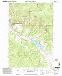 2001 Nevada Lake2004 Print · USGSThe high country of Powell County is captured here at the start of the millennium, showing a landscape shaped by mining and water management. Researchers can locate old mines near Puzzle Gulch, the settlement at Mannix, and the isolated Grave near Nevada Creek.
 - 2001 Map of Moose Creek, 2004 Print
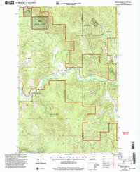 2001 Moose Creek2004 Print · USGSIn the mountains of Powell County at the start of the twenty-first century, this landscape reveals a transition from frontier mining to forest management. Researchers can find the Site of Old Lincoln, the Lincoln Gulch Cem, and the Blackfoot Mine.
 - 2001 Map of Austin, 2004 Print
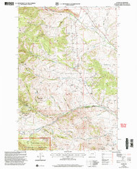 2001 Austin2004 Print · USGSMontana's mineral-rich landscape near Austin is captured here at the turn of the century, showing a terrain shaped by mining and mountain life. Genealogists and historians can locate the Birdseye School, a hillside Cem, and dozens of historic mine prospects near Iron Ridge.
 - 2001 Map of Esmeralda Hill, 2004 Print
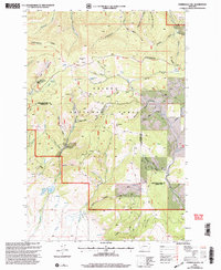 2001 Esmeralda Hill2004 Print · USGSThe high peaks and drainages of the Continental Divide in Montana appear here as they were managed at the start of the new millennium. Researchers can trace the legacy of mineral extraction through numerous prospects and adits near Esmeralda Hill and the Betor Ranch.
 - 2001 Map of Canyon Ferry, 2004 Print
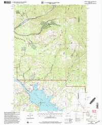 2001 Canyon Ferry2004 Print · USGSThe Missouri River valley near the Lewis and Clark and Broadwater county line is shown here at the start of the new millennium. Researchers can trace the industrial footprint of the Golden Messenger Mine and locate shoreline features like Chinaman Cove and Cemetery Hill.
 - 2001 Map of Silver King Mountain, 2004 Print
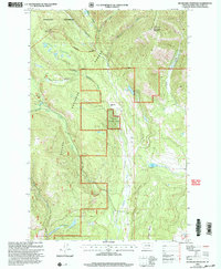 2001 Silver King Mountain2004 Print · USGSThe high peaks and wilderness drainages of Lewis and Clark County come into focus at the turn of the millennium. Trace the management of the backcountry through landmarks like the Silver King Ranch, Indian Meadows Work Center, and the remote Elk Trail Landing Strip.
 - 2001 Map of Macdonald Pass, 2004 Print
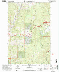 2001 Macdonald Pass2004 Print · USGSThe Continental Divide serves as the backbone of this high-altitude landscape at the start of the new millennium. Researchers can trace the path of the Cromwell-Dixon Pipeline or locate mining artifacts at Rich Spur and Frontier Town.
 - 2001 Map of Nelson, 2004 Print
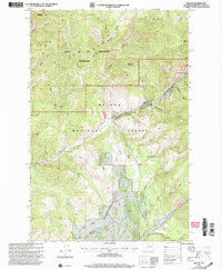 2001 Nelson2004 Print · USGSThe Montana backcountry north of Helena comes into focus at the turn of the millennium, revealing the managed lands of the Helena National Forest. Trace family-named gulches and landmarks such as Nelson, Sacajawea Mountain, and Devils Tower.
 - 2001 Map of Heart Lake, 2004 Print
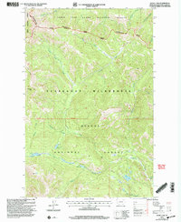 2001 Heart Lake2004 Print · USGSHigh in the Lewis and Clark National Forest at the turn of the century, this landscape remains largely untouched wilderness. Trace the path of the Continental Divide Scenic National Scenic Trail past Heart Lake, Parker Lake, and the remote North Fork Blackfoot River.
 - 2001 Map of Helena, 2004 Print
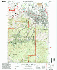 2001 Helena2004 Print · USGSMontana's capital city and its surrounding mining gulches are captured here at the turn of the millennium. Local researchers can trace the development of Helena neighborhoods alongside historical sites like the Brooklyn Bridge Mine, Unionville, and the State Capitol.
 - 2001 Map of Upper Holter Lake, 2004 Print
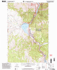 2001 Upper Holter Lake2004 Print · USGSIn the central Montana wilderness at the start of the twenty-first century, the Missouri River flows through a landscape rich with expedition history. Researchers can locate family landmarks like Hilger Ranch and trace the canyon terrain from Meriwether Canyon to the Hauser Dam.
 - 2001 Map of Nevada Mountain, 2004 Print
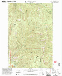 2001 Nevada Mountain2004 Print · USGSThe high Divide between Lewis and Clark and Powell counties is captured here at the start of the millennium. Researchers can trace the path of the Continental Divide Scenic Trail, find the Nevada Creek Guard Station, and locate the Cyclone Mine.
Showing maps 1-25 of 36
Top cities of Lewis and Clark County
Frequently asked questions
- What are the different types of historical maps available for Lewis and Clark County?
- What is the oldest map of Lewis and Clark County?
- Where can I purchase historical maps of Lewis and Clark County for my home or office?
- Where can I download high-res historical maps of Lewis and Clark County?
- Are there historical topographic maps available for Lewis and Clark County?
- Is there historical aerial imagery available for Lewis and Clark County?
- Where are historical maps of Lewis and Clark County sourced from?