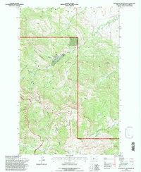
1995 Map of Steamboat Mountain
USGS Topo · Published 1997About this map
Steamboat Mountain rises as a central landmark within the Lewis and Clark National Forest, where the complex drainage systems of the Front Range converge. This 1995 revision, based on surveys dating back to 1969, details the intricate hydrography of the Dearborn River and its numerous tributaries, including Clemons Creek and the East Fork Dearborn River. The map reveals the managed interface between public and private lands, specifically the presence of Elk Creek Ranch tucked between Lone Chief Mountain and Horse Mountain. Significant vertical relief is evident in landmarks like Cataract Falls and the deep recession of Devils Glen. To the west, the Scapegoat Wilderness boundary is clearly delineated, crossing high basins like Cataract Basin and Bailey Basin, while the Cdnst provides a established route through the high country for those tracking historic trails.
Find a feature on this map
47 named features on this map. Tap any name to fly to it.
Don’t see what you’re looking for? This feature index may not catch every label — zoom into the map to look around manually.
Map Details
Editions of this 1995 Steamboat Mountain Map
This is the sole edition of this map. No revisions or reprints were ever made.
Other maps of this area

1903 · Coopers Lake
USGS Topo · 1:125,000

1943 · Hogan
USGS Topo · 1:125,000

1955 · Choteau
USGS Topo · 1:250,000

1957 · Choteau
USGS Topo · 1:250,000

1958 · Choteau
USGS Topo · 1:250,000

1962 · Choteau
USGS Topo · 1:250,000
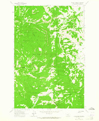
1963 · Blowout Mountain
USGS Topo · 1:24,000
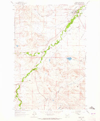
1963 · Augusta
USGS Topo · 1:24,000
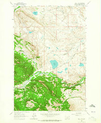
1963 · Bean Lake
USGS Topo · 1:24,000

1968 · Heart Lake
USGS Topo · 1:24,000