
1968 Map of Heart Lake
USGS Topo · Published 1971About this map
The Continental Divide winds through this high-altitude landscape where the Lolo, Lewis and Clark, and Helena National Forests converge. Mapping efforts by the U.S. Forest Service in the late 1960s detail a network of pack trails and water systems critical to the region's wilderness management. Key drainage systems like the Main Line North Fork Blackfoot River and Landers Fork are fed by numerous high-country basins including Heart Lake and Webb Lake.
Find a feature on this map
36 named features on this map. Tap any name to fly to it.
Don’t see what you’re looking for? This feature index may not catch every label — zoom into the map to look around manually.
Map Details
Editions of this 1968 Heart Lake Map
This is the sole edition of this map. No revisions or reprints were ever made.
Other maps of this area

1903 · Coopers Lake
USGS Topo · 1:125,000

1955 · Choteau
USGS Topo · 1:250,000

1957 · Choteau
USGS Topo · 1:250,000

1958 · Choteau
USGS Topo · 1:250,000

1962 · Choteau
USGS Topo · 1:250,000

1968 · Olson Peak
USGS Topo · 1:24,000
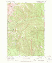
1968 · Stonewall Mountain
USGS Topo · 1:24,000
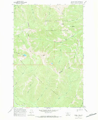
1968 · Caribou Peak
USGS Topo · 1:24,000
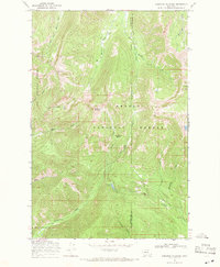
1968 · Arrastra Mountain
USGS Topo · 1:24,000
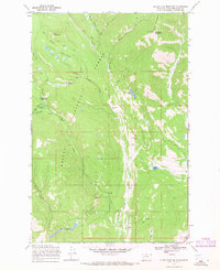
1968 · Silver King Mountain
USGS Topo · 1:24,000