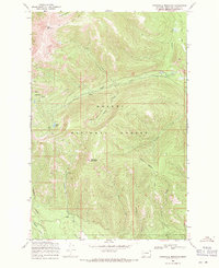
1968 Map of Stonewall Mountain
USGS Topo · Published 1971About this map
Helena National Forest terrain dominates this 1968 study, centered on the high ridges and drainage basins of the Lewis and Clark area. The landscape is defined by the massive profiles of Red Mountain and Stonewall Mountain, with the latter feeding a complex network of waterways including Stonewall Creek and Liverpool Creek. Evidence of the region’s mineral history is found at Copper Camp and the Cotter Mine, while several smaller mines are noted without specific names near the headwaters of Copper Creek. This era of the forest was managed through a series of backcountry routes, specifically the Main Line Trail (Pack) and various unnamed jeep trails that provided access to isolated points like Copper Lake. The map illustrates a transition in land use, where mining infrastructure remained present alongside developing recreational and forest management trails.
Find a feature on this map
26 named features on this map. Tap any name to fly to it.
Don’t see what you’re looking for? This feature index may not catch every label — zoom into the map to look around manually.
Map Details
Editions of this 1968 Stonewall Mountain Map
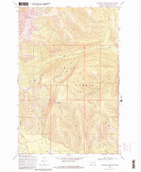
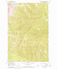
3 editions found
Other maps of this area

1889 · Helena
USGS Topo · 1:250,000

1893 · Helena
USGS Topo · 1:250,000

1899 · Helena
USGS Topo · 1:250,000

1903 · Coopers Lake
USGS Topo · 1:125,000

1903 · Helena
USGS Topo · 1:250,000

1947 · Butte
USGS Topo · 1:250,000

1955 · Choteau
USGS Topo · 1:250,000

1957 · Choteau
USGS Topo · 1:250,000

1958 · Butte
USGS Topo · 1:250,000

1958 · Choteau
USGS Topo · 1:250,000