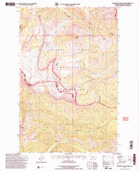
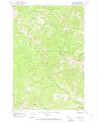
1995 Map of Scapegoat Mountain
USGS Topo · Published 1997About this map
Scapegoat Mountain dominates this high-altitude landscape along the Continental Divide, where the complex geography of the northern Rockies is mapped in fine detail. The area is defined by the intersection of several significant managed lands, including the Lewis and Clark National Forest, the Scapegoat Wilderness, and the Lolo National Forest. Human presence is sparse, centered on the Green Fork Guard Station and the outpost of Carmichael in the south.
Find a feature on this map
34 named features on this map. Tap any name to fly to it.
Don’t see what you’re looking for? This feature index may not catch every label — zoom into the map to look around manually.
Map Details
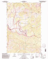
Editions of this 1995 Scapegoat Mountain Map
2 editions found
Other maps of this area

1903 · Coopers Lake
USGS Topo · 1:125,000

1955 · Choteau
USGS Topo · 1:250,000

1957 · Choteau
USGS Topo · 1:250,000

1958 · Choteau
USGS Topo · 1:250,000

1962 · Choteau
USGS Topo · 1:250,000

1968 · Heart Lake
USGS Topo · 1:24,000

1968 · Olson Peak
USGS Topo · 1:24,000
1968 · Lake Mountain
USGS Topo · 1:24,000
1970 · Scapegoat Mountain
USGS Topo · 1:24,000
1970 · Jakie Creek
USGS Topo · 1:24,000