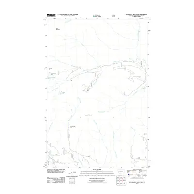
2011 Map of Stonewall Mountain
USGS Topo · Published 2011About this map
Stonewall Mountain and Red Mountain dominate this high-elevation corner of Lewis and Clark County, where a network of drainages and historic mining claims defines the landscape. The extraction history of the region is evident through features like the Copper Camp Mine near Copper Camp and the Cotter Mine located along Cotter Creek. These sites, along with the Stonewall Creek Mine, suggest a period of intense prospecting focused on the mineral-rich veins of the Continental Divide's eastern slopes.
Find a feature on this map
25 named features on this map. Tap any name to fly to it.
Don’t see what you’re looking for? This feature index may not catch every label — zoom into the map to look around manually.
Map Details
Editions of this 2011 Stonewall Mountain Map
This is the sole edition of this map. No revisions or reprints were ever made.
Other maps of this area

1889 · Helena
USGS Topo · 1:250,000

1893 · Helena
USGS Topo · 1:250,000

1899 · Helena
USGS Topo · 1:250,000

1903 · Coopers Lake
USGS Topo · 1:125,000

1903 · Helena
USGS Topo · 1:250,000

1947 · Butte
USGS Topo · 1:250,000

1955 · Choteau
USGS Topo · 1:250,000

1957 · Choteau
USGS Topo · 1:250,000

1958 · Butte
USGS Topo · 1:250,000

1958 · Choteau
USGS Topo · 1:250,000