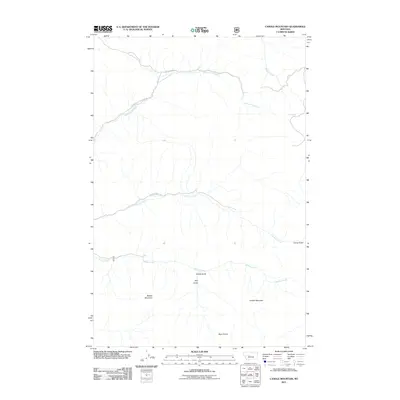
2011 Map of Candle Mountain
USGS Topo · Published 2011About this map
Candle Mountain and Willow Mountain dominate the southern half of this landscape, rising above a network of drainages and rugged high-country tracks. The area is characterized by its high-altitude watercourses, including Cottonwood Creek in the north and the westward-flowing Willow Creek. Narrow access routes like Elkhorn-Cottonwood Rd and Bear Tooth Rd traverse the drainages, following the natural contours of the land between the peaks.
Find a feature on this map
13 named features on this map. Tap any name to fly to it.
Don’t see what you’re looking for? This feature index may not catch every label — zoom into the map to look around manually.
Map Details
Editions of this 2011 Candle Mountain Map
This is the sole edition of this map. No revisions or reprints were ever made.
Other maps of this area

1886 · Great Falls
USGS Topo · 1:250,000

1886 · Fort Logan
USGS Topo · 1:250,000

1948 · White Sulphur Springs
USGS Topo · 1:250,000

1954 · Great Falls
USGS Topo · 1:250,000

1957 · Great Falls
USGS Topo · 1:250,000

1958 · White Sulphur Springs
USGS Topo · 1:250,000

1961 · White Sulphur Springs
USGS Topo · 1:250,000

1961 · Craig
USGS Topo · 1:24,000

1961 · Hound Creek Reservoir
USGS Topo · 1:24,000
1961 · The Sawteeth
USGS Topo · 1:24,000