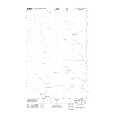
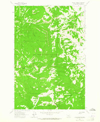
2011 Map of Blowout Mountain
USGS Topo · Published 2011About this map
Lewis and Clark Pass marks a critical geographic point in this high-altitude landscape of the Continental Divide, situated along the border of Lewis and Clark County. This 2011 survey illustrates a region defined by high peaks and a complex drainage network, where the headwaters of Alice Creek and Green Creek diverge from the ridgeline. The Alice Creek Ranger Cabin stands as a solitary human landmark within the Alice Creek Basin, surrounded by prominent summits including Blowout Mountain, Red Mountain, and Table Mountain. The terrain is deeply incised by steep drainages such as Wildcat Gulch and the curiously named Telephone Gulch Gulch. This map provides a modern record of Forest Service lands, showing the path of Falls Creek and the notable Burned Point lookout area, essential for understanding the contemporary topography of this mountainous wilderness.
Find a feature on this map
29 named features on this map. Tap any name to fly to it.
Don’t see what you’re looking for? This feature index may not catch every label — zoom into the map to look around manually.
Map Details
Editions of this 2011 Blowout Mountain Map
This is the sole edition of this map. No revisions or reprints were ever made.
Other maps of this area

1903 · Coopers Lake
USGS Topo · 1:125,000

1943 · Hogan
USGS Topo · 1:125,000

1955 · Choteau
USGS Topo · 1:250,000

1957 · Choteau
USGS Topo · 1:250,000

1958 · Choteau
USGS Topo · 1:250,000

1962 · Choteau
USGS Topo · 1:250,000
1962 · Johnson Mountain
USGS Topo · 1:24,000
1963 · Rogers Pass
USGS Topo · 1:24,000
1963 · Cadotte Creek
USGS Topo · 1:24,000
1963 · Blowout Mountain
USGS Topo · 1:24,000