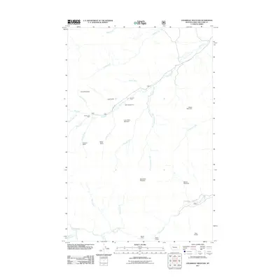
2011 Map of Steamboat Mountain
USGS Topo · Published 2011About this map
Steamboat Mountain stands as the central landmark in this high-elevation landscape of Lewis and Clark County, where the Rocky Mountain Front transitions into deep drainage basins. The area is defined by its complex hydrology, with the Dearborn River cutting through the southern reaches near Devils Glen and Skull Gulch. Settlement is limited to significant ranching operations and seasonal outposts, including Sky Mountain Ranch, Elk Creek Ranch, and the C Bar N Camp along Double Creek Rd. The presence of the Delta Queen Dam on Elk Creek suggests water management efforts within this steep terrain. Distinctive geographical features like Lone Chief Mountain, Sheep Mountain, and Cataract Basin underscore the verticality of the region, while named landmarks such as Cataract Falls and Beaver Meadows highlight specific ecological points of interest within the broader drainage networks of Cyanide Creek and Sawmill Creek.
Find a feature on this map
36 named features on this map. Tap any name to fly to it.
Don’t see what you’re looking for? This feature index may not catch every label — zoom into the map to look around manually.
Map Details
Editions of this 2011 Steamboat Mountain Map
This is the sole edition of this map. No revisions or reprints were ever made.
Other maps of this area

1903 · Coopers Lake
USGS Topo · 1:125,000

1943 · Hogan
USGS Topo · 1:125,000

1955 · Choteau
USGS Topo · 1:250,000

1957 · Choteau
USGS Topo · 1:250,000

1958 · Choteau
USGS Topo · 1:250,000

1962 · Choteau
USGS Topo · 1:250,000
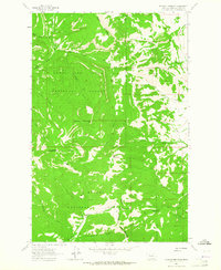
1963 · Blowout Mountain
USGS Topo · 1:24,000
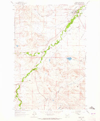
1963 · Augusta
USGS Topo · 1:24,000
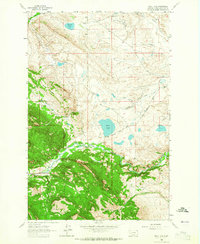
1963 · Bean Lake
USGS Topo · 1:24,000

1968 · Heart Lake
USGS Topo · 1:24,000