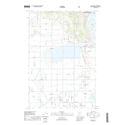
2020 Map of Lake Helena
USGS Topo · Published 2020About this map
Lake Helena serves as the central hydrologic feature of this landscape north of the state capital, where the Missouri River and Hauser Lake define the northeastern corner. The intricate water management system of the Helena Valley is evident through the path of the Helena Valley Canal and the extensive Helena Valley Reservoir, which support the surrounding agricultural and residential transition. In the south, Prickly Pear Cr and Tenmile Cr flow toward the primary lake basin, while Stansfield Lake marks a smaller catchment to the west. Local history is anchored by the Hardgrove & Merritt Cem located east of the main water body. To the north, the terrain ascends into the Helena National Forest, showing a shift from the valley floor to more complex elevations.
Find a feature on this map
109 named features on this map. Tap any name to fly to it.
Don’t see what you’re looking for? This feature index may not catch every label — zoom into the map to look around manually.
Map Details
Editions of this 2020 Lake Helena Map
This is the sole edition of this map. No revisions or reprints were ever made.
Other maps of this area

1886 · Fort Logan
USGS Topo · 1:250,000

1889 · Helena
USGS Topo · 1:250,000

1893 · Helena
USGS Topo · 1:250,000

1899 · Helena
USGS Topo · 1:62,500

1899 · Helena
USGS Topo · 1:250,000

1903 · Helena
USGS Topo · 1:250,000

1947 · Butte
USGS Topo · 1:250,000

1948 · White Sulphur Springs
USGS Topo · 1:250,000

1950 · East Helena
USGS Topo · 1:62,500

1950 · Helena
USGS Topo · 1:62,500