
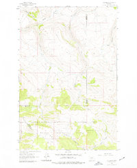
1962 Map of B K Ranch
USGS Topo · Published 1964About this map
B K Ranch sits near the northern edge of this high-elevation Montana landscape, where the headwaters of the Missouri River basin begin to take shape. Surveyed in 1956 and field checked in the early 1960s, the map illustrates a transition from open ranchland to the protected timber of the Helena National Forest. The topography is dominated by the prominent Elk Ridge and the distinctive peak of Squaw Teat, which serve as landmarks above a network of drainages.
Find a feature on this map
15 named features on this map. Tap any name to fly to it.
Don’t see what you’re looking for? This feature index may not catch every label — zoom into the map to look around manually.
Map Details
Editions of this 1962 B K Ranch Map
2 editions found
Other maps of this area

1886 · Great Falls
USGS Topo · 1:250,000

1886 · Fort Logan
USGS Topo · 1:250,000

1948 · White Sulphur Springs
USGS Topo · 1:250,000

1954 · Great Falls
USGS Topo · 1:250,000

1957 · Great Falls
USGS Topo · 1:250,000

1958 · White Sulphur Springs
USGS Topo · 1:250,000

1961 · White Sulphur Springs
USGS Topo · 1:250,000

1961 · Hound Creek Reservoir
USGS Topo · 1:24,000

1961 · Dana Ranch
USGS Topo · 1:24,000

1962 · Hogback Mountain
USGS Topo · 1:24,000