Old Maps of Teigen, Montana for Hiking & Exploration
Hike through history with 9 historic maps of Teigen. Explore old trails, ghost towns, and forgotten backroads — perfect for outdoor adventurers and local explorers.
- Rediscover forgotten places: Map out old mining camps, roads, and footpaths that no longer exist on modern maps.
- Layer with modern tools: Combine with LiDAR or satellite views to plan hikes through historical terrain.
- Made for exploration: Popular among hikers, overlanders, and local history lovers.
Use these maps to find adventure and explore the hidden past of Teigen.
Teigen, MT maps
(9)- 1954 Map of Lewistown, 1967 Print
 1954 Lewistown1967 Print · USGSCentral Montana at the height of the mid-century rail era reveals a landscape shaped by the Judith River and high mountain ranges. Trace the old lines of the Great Northern through Lewistown and Denton, or locate sites like Giltedge and Landusky.3 unique versions available
 - 1959 Map of Lewistown
 1959 Lewistown1959 Print · USGSCentral Montana in the mid-1950s shows a landscape defined by the winding Missouri River and the rise of the South Moccasin Mtns. Researchers can trace the rail lines of the Great Northern through towns like Winifred and locate the Cat Creek Oil Field.3 unique versions available
 - 1986 Map of Teigen
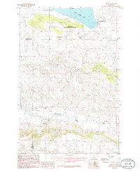 1986 Teigen1986 Print · USGSThe Central Montana plains come into focus in the mid-1980s, documenting the landscape surrounding the Teigen settlement. Researchers can trace the Old Railroad Grade and explore the bounds of the War Horse National Wildlife Refuge.
 - 1986 Map of Winnett, 1994 Print
 1986 Winnett1994 Print · USGSCentral Montana ranching country is shown here in the mid-1980s as the rail era had given way to modern highways. Researchers can trace the Old Railroad Grade past Teigen or locate family sites near Wild Horse Lake and the War Horse National Wildlife Refuge.
 - 2011 Map of Teigen, 2011 Print
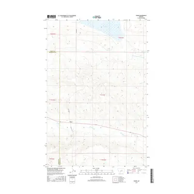
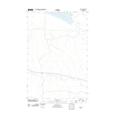 2011 Teigen2011 Print · USGSCovers Teigen, including Fergus County, Petroleum County, and other nearby areas
 - 2014 Map of Teigen, 2014 Print
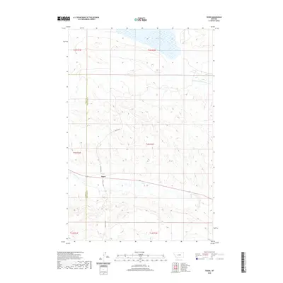
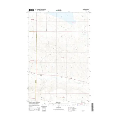 2014 Teigen2014 Print · USGSCovers Teigen, including Fergus County, Petroleum County, and other nearby areas
 - 2017 Map of Teigen, 2017 Print
 2017 Teigen2017 Print · USGSCovers Teigen, including Fergus County, Petroleum County, and other nearby areas
 - 2020 Map of Teigen, 2020 Print
 2020 Teigen2020 Print · USGSCovers Teigen, including Fergus County, Petroleum County, and other nearby areas
 - 2024 Map of Teigen, 2024 Print
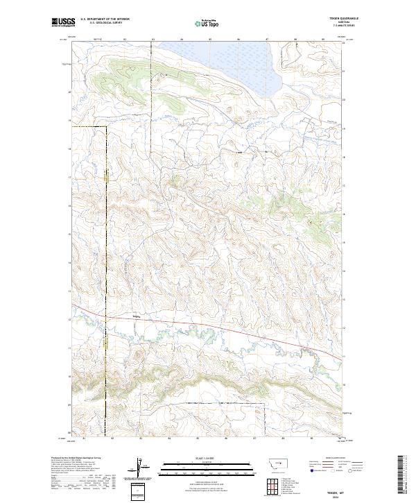 2024 Teigen2024 Print · USGSCentral Montana ranching country is mapped here in the modern era, spanning the border of Fergus and Petroleum counties. Researchers can trace the layout of Teigen and the wetlands of the War Horse National Wildlife Refuge along McDonald Creek.
End of results
Showing maps 1-9 of 9
Top cities near Teigen
Frequently asked questions
- What are the different types of historical maps available for Teigen?
- What is the oldest map of Teigen?
- Where can I purchase historical maps of Teigen for my home or office?
- Where can I download high-res historical maps of Teigen?
- Are there historical topographic maps available for Teigen?
- Is there historical aerial imagery available for Teigen?
- Where are historical maps of Teigen sourced from?