2020s Maps of Poplar District, Montana
Explore 38 historic maps of Poplar District from the 2020s. These maps offer a rare glimpse into what life looked like during the 2020s — showing old roads, neighborhoods, homes, and landmarks that have changed or disappeared over time.
Whether you're researching your family's past, planning a metal detecting trip, or studying how Poplar District's landscape evolved across the 2020s, these high-resolution maps are a powerful tool for exploring the history of this region.
- Focus on a specific era: All maps on this page are from the 2020s, giving you a focused view of this time period.
- See what’s changed: Compare century-old streets, trails, and buildings to today's modern landscape using overlays and satellite layers.
- Research with precision: Use these maps for genealogy, historical research, land use analysis, or educational projects.
- View, download, or print: Maps are fully viewable online in high resolution, and can be downloaded or printed for your own records.
Start exploring Poplar District's history through authentic maps from the 2020s. This is your window into the past.
Poplar District, MT maps
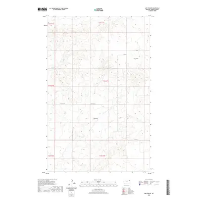
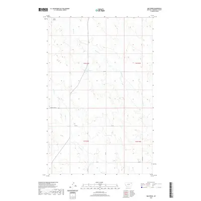
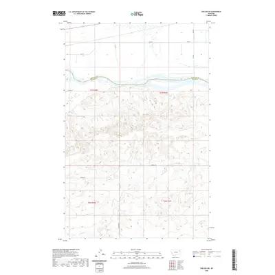
(38)- 2020 Map of Hay Creek NW, 2020 Print
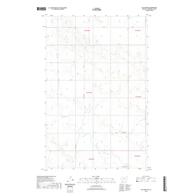 2020 Hay Creek NW2020 Print · USGSCovers Poplar District, including Brockton District, Roosevelt County, and other nearby areas
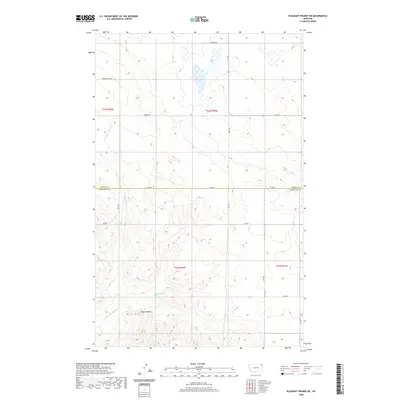
 - 2020 Map of Pleasant Prairie NW, 2020 Print
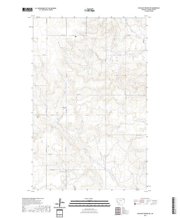
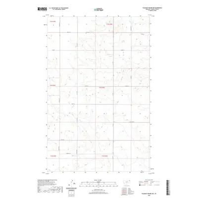 2020 Pleasant Prairie NW2020 Print · USGSCovers Poplar District, including Brockton District, Daniels County, and other nearby areas
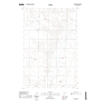
 - 2020 Map of Bears Nest, 2020 Print
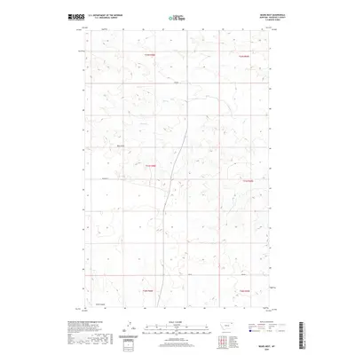 2020 Bears Nest2020 Print · USGSCovers Poplar District, including Wolf Point District, Roosevelt County, and other nearby areas
 - 2020 Map of Bredette, 2020 Print
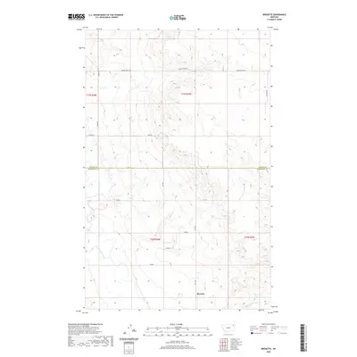 2020 Bredette2020 Print · USGSCovers Poplar District, including Bredette, Roosevelt County, and other nearby areas
 - 2020 Map of Line Coulee, 2020 Print
 2020 Line Coulee2020 Print · USGSCovers Poplar District, including Daniels County, United States, and other nearby areas
 - 2020 Map of Cabarett Coulee, 2020 Print
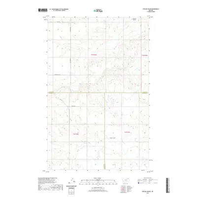
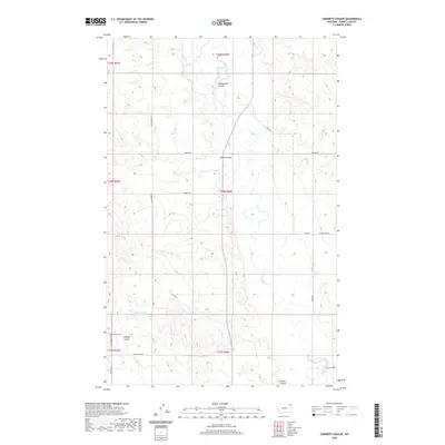 2020 Cabarett Coulee2020 Print · USGSCovers Poplar District, including Wolf Point District, Daniels County, and other nearby areas
 - 2020 Map of Windy Butte, 2020 Print
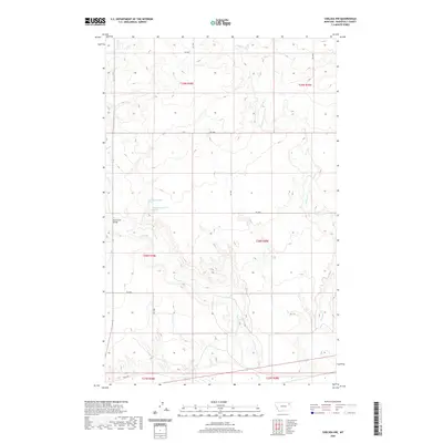
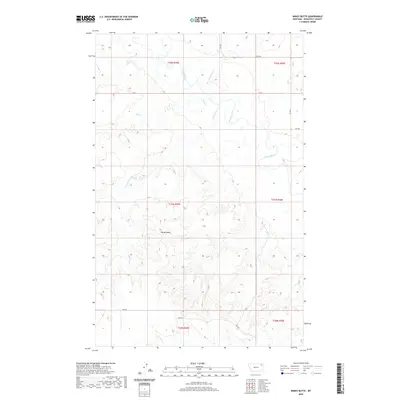 2020 Windy Butte2020 Print · USGSCovers Poplar District, including Roosevelt County, United States, and other nearby areas
 - 2020 Map of Nielsen Coulee, 2020 Print
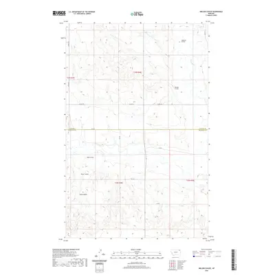 2020 Nielsen Coulee2020 Print · USGSCovers Poplar District, including Wolf Point District, Roosevelt County, and other nearby areas
 - 2020 Map of Pleasant Prairie SW, 2020 Print
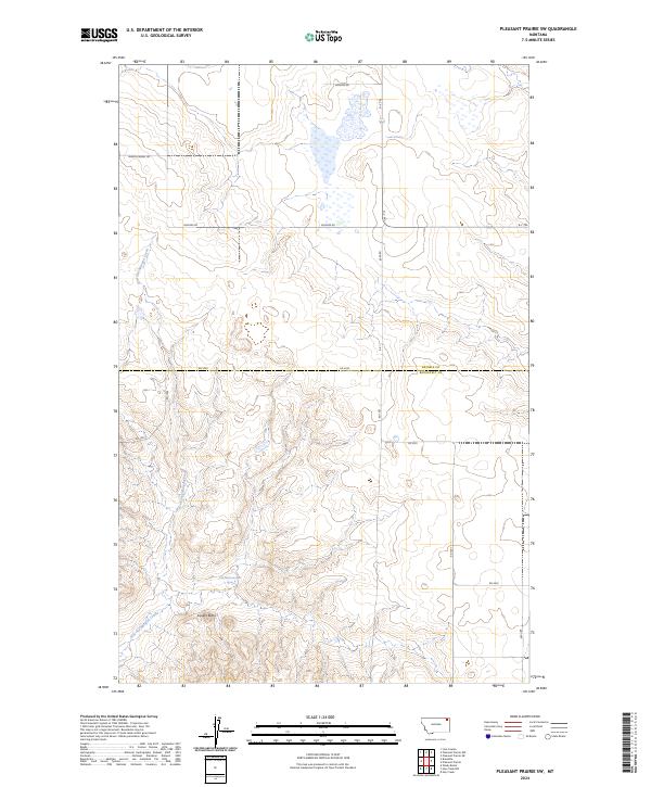
 2020 Pleasant Prairie SW2020 Print · USGSCovers Poplar District, including Brockton District, Roosevelt County, and other nearby areas
 - 2020 Map of Badger Creek, 2020 Print
 2020 Badger Creek2020 Print · USGSCovers Poplar District, including Brockton District, Roosevelt County, and other nearby areas
 - 2020 Map of Poplar Coulee, 2020 Print
 2020 Poplar Coulee2020 Print · USGSCovers Poplar District, including Wolf Point District, Oswego District, and other nearby areas
 - 2020 Map of Sims Spring, 2020 Print
 2020 Sims Spring2020 Print · USGSCovers Poplar District, including Wolf Point District, Roosevelt County, and other nearby areas
 - 2020 Map of Chelsea SW, 2020 Print
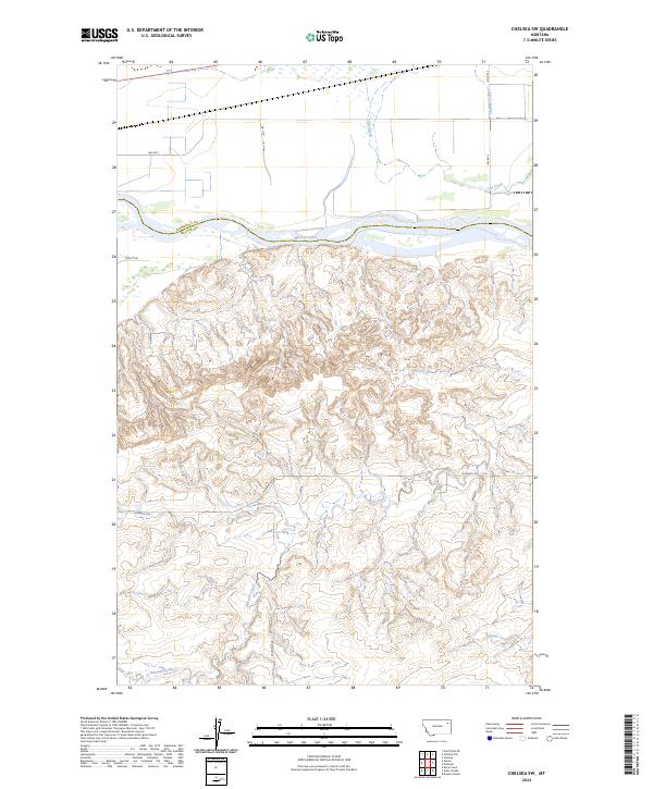
 2020 Chelsea SW2020 Print · USGSCovers Poplar District, including Wolf Point District, Roosevelt County, and other nearby areas
 - 2020 Map of Nickwall, 2020 Print
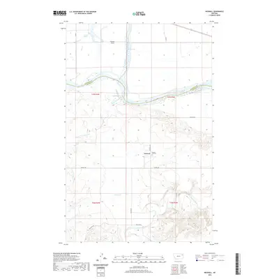 2020 Nickwall2020 Print · USGSCovers Poplar District, including Nickwall, Roosevelt County, and other nearby areas
 - 2020 Map of Long Creek West, 2020 Print
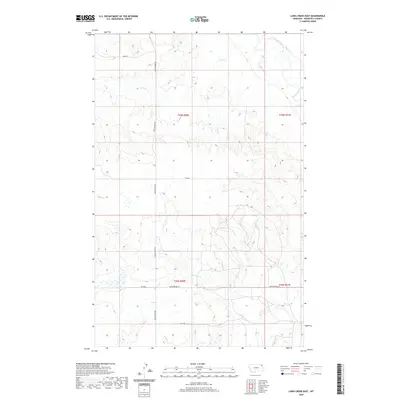
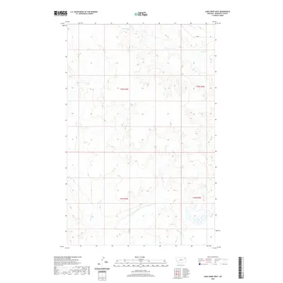 2020 Long Creek West2020 Print · USGSCovers Poplar District, including Roosevelt County, United States, and other nearby areas
 - 2020 Map of Poplar, 2020 Print
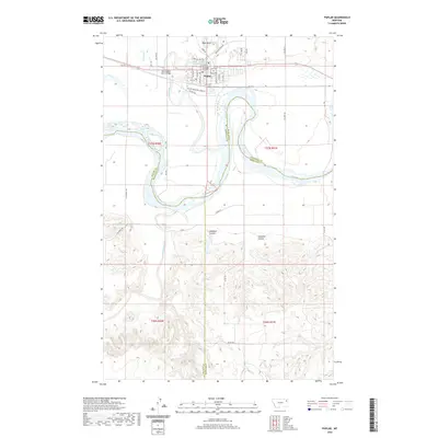 2020 Poplar2020 Print · USGSCovers Poplar District, including Poplar, Brockton District, and other nearby areas
 - 2020 Map of Long Creek East, 2020 Print
 2020 Long Creek East2020 Print · USGSCovers Poplar District, including Brockton District, Roosevelt County, and other nearby areas
 - 2020 Map of Chelsea, 2020 Print
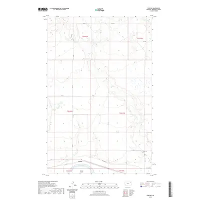 2020 Chelsea2020 Print · USGSCovers Poplar District, including Chelsea, Roosevelt County, and other nearby areas
 - 2020 Map of Chelsea NW, 2020 Print
 2020 Chelsea NW2020 Print · USGSCovers Poplar District, including Wolf Point District, Roosevelt County, and other nearby areas
 - 2024 Map of Cabarett Coulee, 2024 Print
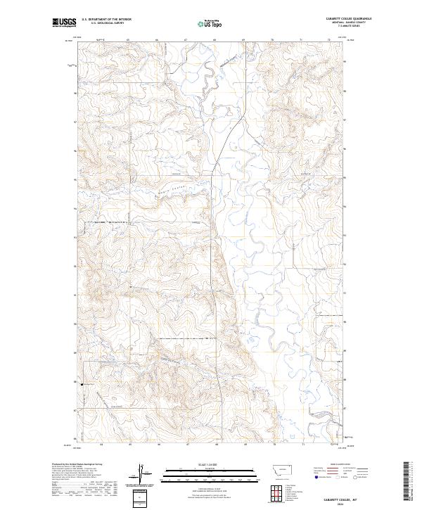 2024 Cabarett Coulee2024 Print · USGSDaniels County ranching country and the winding Poplar River are captured in this recent survey. Researchers can trace land use patterns along Cabarett Coulee or find family history at Fairview Cem and on Old Scobey Rd.
 - 2024 Map of Pleasant Prairie NW, 2024 Print
 2024 Pleasant Prairie NW2024 Print · USGSDaniels County, Montana, is presented here in the mid-2020s, showing a landscape defined by expansive grain fields and prairie drainages. Genealogists and local historians can trace family-named routes like Vaubel Rd and locate the historic Orville Cem.
 - 2024 Map of Chelsea SW, 2024 Print
 2024 Chelsea SW2024 Print · USGSMcCone and Roosevelt Counties are captured here at the Missouri River crossing in the mid-2020s. Genealogists and land researchers can trace the reach of the Missouri River along the county line and locate land interests like the Farm Service Agency Interest of Montana.
 - 2024 Map of Windy Butte, 2024 Print
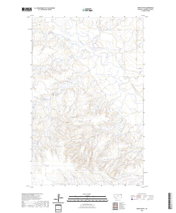 2024 Windy Butte2024 Print · USGSRoosevelt County's northern plains landscape is defined by the winding course of the Poplar River and the high ground of Windy Butte. Researchers can trace the drainage patterns of Assiniboine Creek and find legacy local routes such as RD 1058 and RD 1056.
 - 2024 Map of Pleasant Prairie SW, 2024 Print
 2024 Pleasant Prairie SW2024 Print · USGSNortheastern Montana ranching country is shown here in the 2020s at the boundary of Daniels and Roosevelt counties. Researchers can trace land features like Square Butte and follow the paths of Wagon Wheel Rd and Give Out Morgan Creek.
 - 2024 Map of Hay Creek NW, 2024 Print
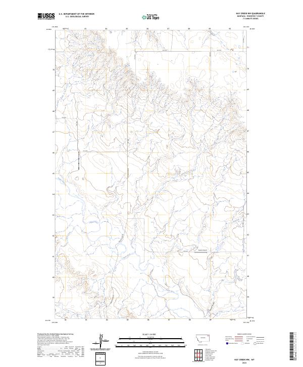 2024 Hay Creek NW2024 Print · USGSRoosevelt County's river valleys and prairie roads are documented here in the early twenty-first century. Genealogists and land researchers can trace the course of the Poplar River and locate remote infrastructure like Swank Airport and Swank Coulee.
Showing maps 1-25 of 38
Top cities near Poplar District
Top neighborhoods of Poplar District
Frequently asked questions
- What are the different types of historical maps available for Poplar District?
- What is the oldest map of Poplar District?
- Where can I purchase historical maps of Poplar District for my home or office?
- Where can I download high-res historical maps of Poplar District?
- Are there historical topographic maps available for Poplar District?
- Is there historical aerial imagery available for Poplar District?
- Where are historical maps of Poplar District sourced from?