2020s Maps of Birney District, Montana
Explore 14 historic maps of Birney District from the 2020s. These maps offer a rare glimpse into what life looked like during the 2020s — showing old roads, neighborhoods, homes, and landmarks that have changed or disappeared over time.
Whether you're researching your family's past, planning a metal detecting trip, or studying how Birney District's landscape evolved across the 2020s, these high-resolution maps are a powerful tool for exploring the history of this region.
- Focus on a specific era: All maps on this page are from the 2020s, giving you a focused view of this time period.
- See what’s changed: Compare century-old streets, trails, and buildings to today's modern landscape using overlays and satellite layers.
- Research with precision: Use these maps for genealogy, historical research, land use analysis, or educational projects.
- View, download, or print: Maps are fully viewable online in high resolution, and can be downloaded or printed for your own records.
Start exploring Birney District's history through authentic maps from the 2020s. This is your window into the past.
Birney District, MT maps
(14)- 2020 Map of Browns Mountain, 2020 Print
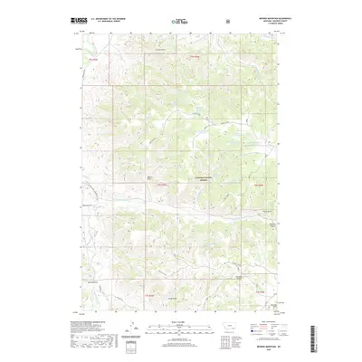 2020 Browns Mountain2020 Print · USGSCovers Birney District, including Rosebud County, United States, and other nearby areas
 - 2020 Map of Clubfoot Creek, 2020 Print
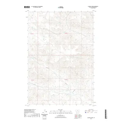 2020 Clubfoot Creek2020 Print · USGSCovers Birney District, including Lame Deer District, Rosebud County, and other nearby areas
 - 2020 Map of Hollowwood Creek, 2020 Print
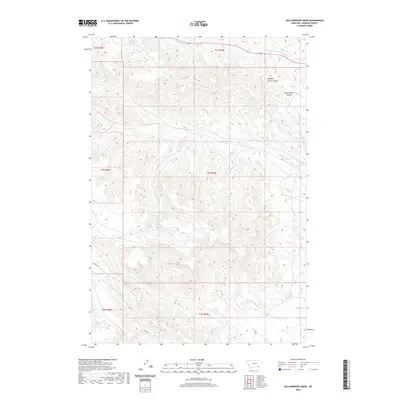 2020 Hollowwood Creek2020 Print · USGSCovers Birney District, including Lame Deer, Ashland District, and other nearby areas
 - 2020 Map of Fisher Butte, 2020 Print
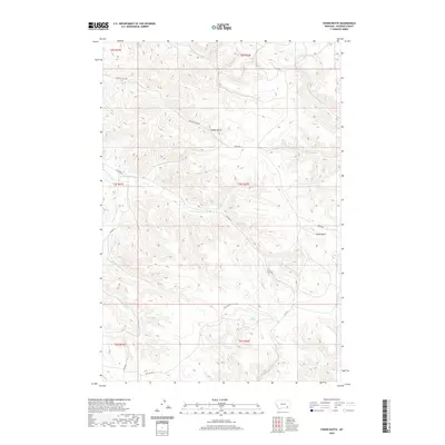 2020 Fisher Butte2020 Print · USGSCovers Birney District, including Lame Deer, Ashland District, and other nearby areas
 - 2020 Map of Cook Creek Butte, 2020 Print
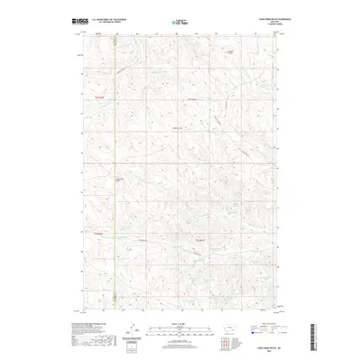 2020 Cook Creek Butte2020 Print · USGSCovers Birney District, including Muddy District, Lame Deer District, and other nearby areas
 - 2020 Map of Birney, 2020 Print
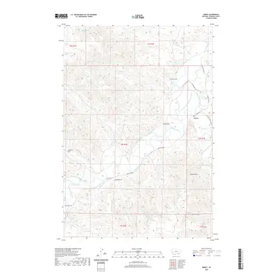 2020 Birney2020 Print · USGSCovers Birney District, including Birney, Rosebud County, and other nearby areas
 - 2020 Map of Birney Day School, 2020 Print
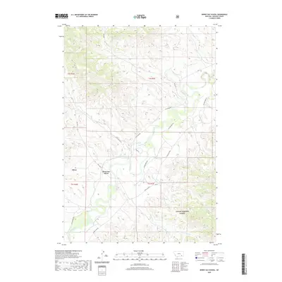 2020 Birney Day School2020 Print · USGSCovers Birney District, including Ashland District, Birney, and other nearby areas
 - 2024 Map of Birney Day School, 2024 Print
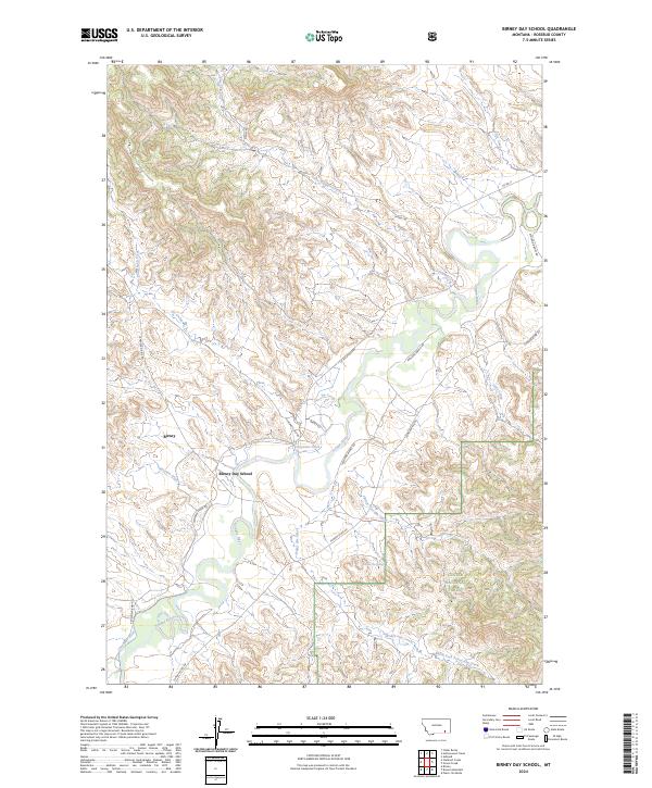 2024 Birney Day School2024 Print · USGSSoutheast Montana in the early twenty-first century remains defined by the winding Tongue River and its remote valley settlements. Researchers can trace local landmarks like Birney, the Birney Day School, and the irrigation path of the Cheyenne Ditch.
 - 2024 Map of Cook Creek Butte, 2024 Print
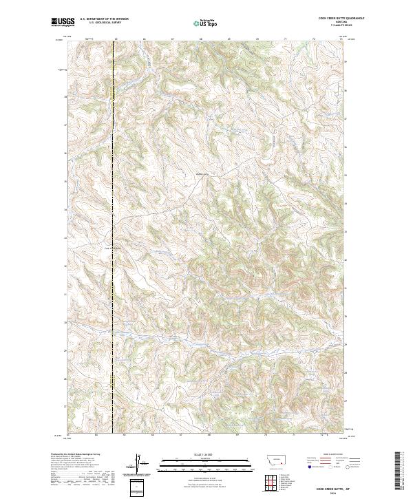 2024 Cook Creek Butte2024 Print · USGSThe high plains of Rosebud County are shown in this recent survey, centered on the ancient Buffalo Jump and the prominent Cook Creek Butte. Local researchers can trace the drainages of Saint Johns Fork and the many springs that dot the landscape along Cook Creek Rd.
 - 2024 Map of Hollowwood Creek, 2024 Print
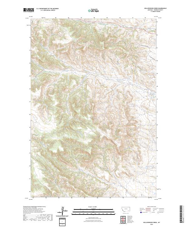 2024 Hollowwood Creek2024 Print · USGSExplore the drainages of Rosebud County as they appeared recently, showing the detailed land divisions and water networks of this high Montana country. Trace local landmarks like Hollowwood Creek, Bighead Reservoir, and the paths of Walking Horse Coulee.
 - 2024 Map of Clubfoot Creek, 2024 Print
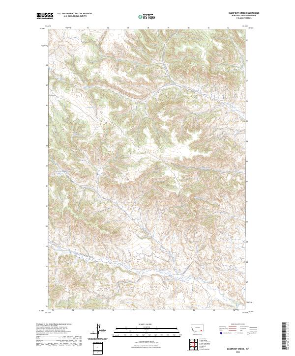 2024 Clubfoot Creek2024 Print · USGSRosebud County in 2024 remains a landscape defined by its vital water sources and remote cattle country. Genealogists and historians can trace family-named landmarks like Rondeau Spring, Elliot Spring, and the reach of Clubfoot Creek.
 - 2024 Map of Fisher Butte, 2024 Print
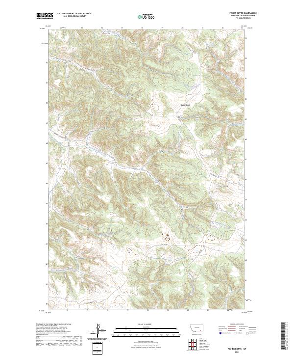 2024 Fisher Butte2024 Print · USGSRosebud County in the mid-2020s remains a landscape defined by its remote springs and creek drainages. Researchers can trace the rugged network of routes like Lost Leg Rd and Soldier Gulch Rd past landmarks like Fisher Butte and Crazy Head Spring.
 - 2024 Map of Birney, 2024 Print
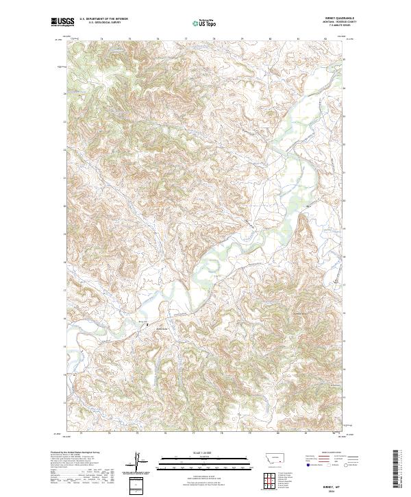 2024 Birney2024 Print · USGSBirney, Montana, is documented here in the 2020s as a landscape defined by the Tongue River and its intricate irrigation systems. Genealogists and local historians can locate the Birney Cem and trace the paths of Hanging Woman Creek or the Quarter Circle U Ditch.
 - 2024 Map of Browns Mountain, 2024 Print
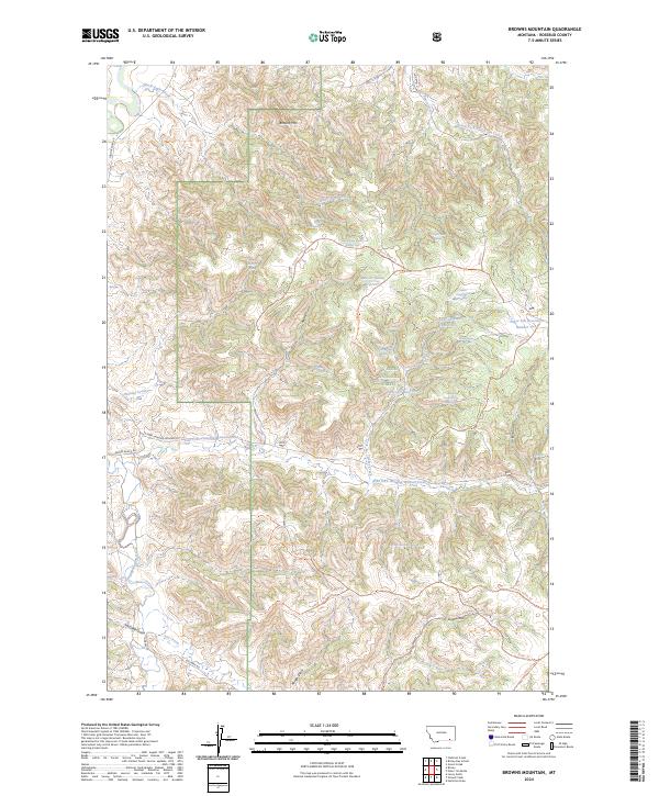 2024 Browns Mountain2024 Print · USGSRosebud County ranchlands and forest reserves are captured here in the early twenty-first century. Researchers can trace historic water rights and access routes through Roberts Gulch Reservoir, Bones Ranch Rd, and the high peak of Browns Mtn.
End of results
Showing maps 1-14 of 14
Top neighborhoods of Birney District
Frequently asked questions
- What are the different types of historical maps available for Birney District?
- What is the oldest map of Birney District?
- Where can I purchase historical maps of Birney District for my home or office?
- Where can I download high-res historical maps of Birney District?
- Are there historical topographic maps available for Birney District?
- Is there historical aerial imagery available for Birney District?
- Where are historical maps of Birney District sourced from?