Old Maps of Birney District, Montana for Metal Detecting
Plan your next treasure hunt with 49 historic maps of Birney District. Find old homesites, ghost towns, trails, and gathering spots that may be lost to time — perfect for identifying promising metal detecting locations.
- Locate forgotten sites: Uncover places like long-lost settlements, abandoned rail lines, or gathering spots.
- Plan better hunts: Use map overlays combined with LiDAR or satellite views to narrow in on historically rich areas.
- Made for detectorists: Thousands of hobbyists use these maps to discover relics, coins, and hidden history.
Use these historic maps to boost your research and find new opportunities beneath the surface of Birney District.
Birney District, MT maps
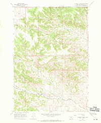
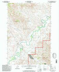
(49)- 1954 Map of Hardin, 1964 Print
 1954 Hardin1964 Print · USGSSoutheastern Montana is documented here during the mid-fifties, showing the vast tribal lands and historic battle sites before modern highway expansion. Researchers can trace the Chicago Burlington and Quincy rail line through Hardin or locate the Custer National Cemetery and Museum.2 unique versions available
 - 1957 Map of Hardin
 1957 Hardin1957 Print · USGSSoutheastern Montana in the mid-fifties reveals a landscape shaped by tribal lands and the historic Bighorn river valleys. Researchers can trace the Chicago Burlington and Quincy RR through Hardin and locate the National Cemetery and Custer Battlefield Monument.
 - 1958 Map of Hardin
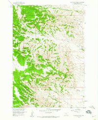
 1958 Hardin1958 Print · USGSSoutheastern Montana in the mid-fifties presents a landscape defined by significant tribal lands and national monuments. Researchers can trace the geography of the Little Bighorn at Custer Battlefield National Monument and locate settlements like Lame Deer and Birney.
 - 1958 Map of Fisher Butte, 1960 Print
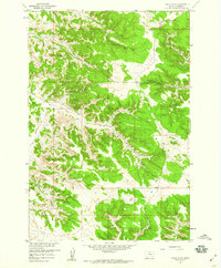 1958 Fisher Butte1960 Print · USGSIn the high country of Rosebud County during the late fifties, this survey captures the industrial and natural landscape of the Northern Cheyenne vicinity. Researchers can locate the Lame Deer Strip Mine and trace water sources like Crazy Head Spring and Broken Jaw Spring.3 unique versions available
 - 1958 Map of Hollowwood Creek, 1960 Print
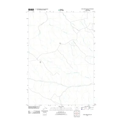
 1958 Hollowwood Creek1960 Print · USGSSoutheast Montana in the late fifties was a landscape of named coulees and vital water sources before modern development. Researchers can trace land features like Bighead Reservoir and several remote landmarks like Walking Horse Coulee or the local Landing Strip.3 unique versions available
 - 1966 Map of Browns Mountain, 1969 Print
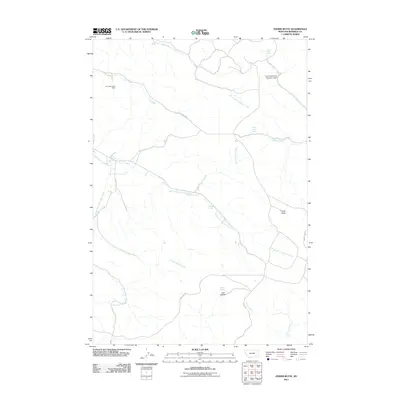
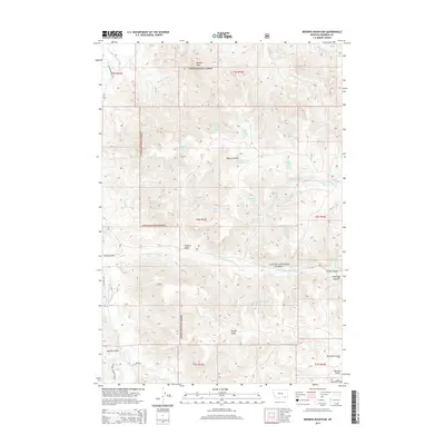
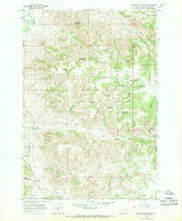 1966 Browns Mountain1969 Print · USGSSoutheast Montana ranching culture and the high plains of Rosebud County are detailed here in the mid-1960s. Genealogists and historians can locate established homesteads like Bones Ranch and Gilliland Ranch alongside remote backcountry resources like Cottonwood Spring.2 unique versions available
 - 1966 Map of Birney Day School, 1969 Print
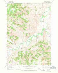
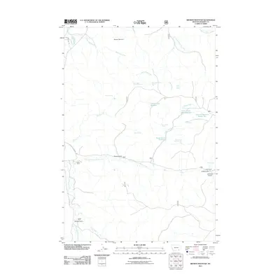
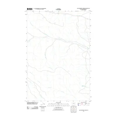
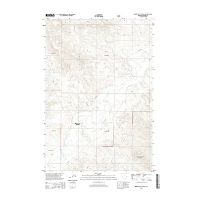
 1966 Birney Day School1969 Print · USGSThe Tongue River valley in the mid-1960s highlights the interface between the Northern Cheyenne Reservation and national forest lands. Genealogists and local historians can locate the Birney Day School, a local Cem, and rural landmarks like Nance Landing Field.3 unique versions available
 - 1967 Map of Clubfoot Creek, 1970 Print
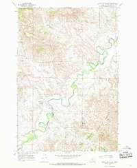
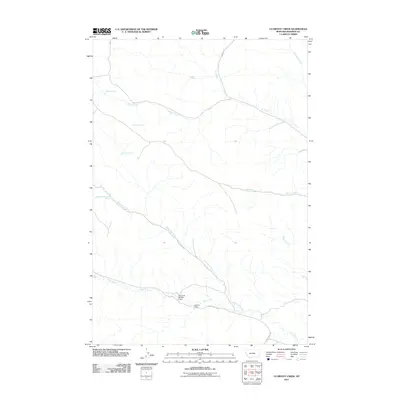
 1967 Clubfoot Creek1970 Print · USGSThe Northern Cheyenne Indian Reservation boundary and remote Montana ranchlands are captured in the late sixties. Genealogists and local historians can locate Morland Ranch and trace the many named water sources like Rondeau Spring and Black Eagle Spring.2 unique versions available
 - 1967 Map of Birney, 1971 Print
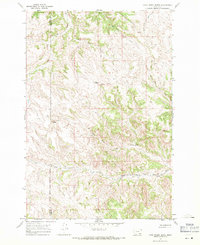
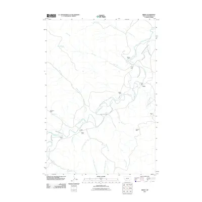
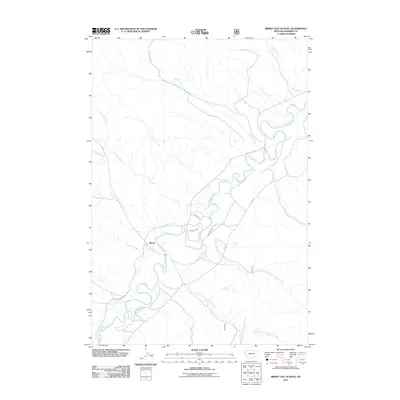
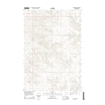
 1967 Birney1971 Print · USGSSoutheast Montana ranching life is well-documented in this late-sixties survey of the Tongue River valley. Researchers can trace established family holdings like Three Circle Ranch and Woodard Ranch alongside the Birney Cem and the town of Birney.2 unique versions available
 - 1967 Map of Cook Creek Butte, 1971 Print
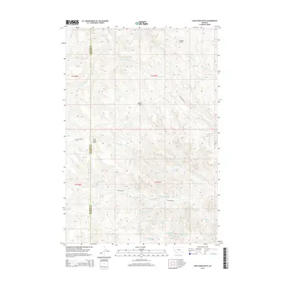
 1967 Cook Creek Butte1971 Print · USGSThe Northern Cheyenne Indian Reservation in the late sixties reveals a landscape of high ridges and vital water sources. Genealogists and historians can locate the Big Horn Co Rosebud Co line and landmarks like Cook Creek Butte or the Buffalo Jump.2 unique versions available
 - 1980 Map of Lame Deer
 1980 Lame Deer1980 Print · USGSHigh plains ranching and coal mining define this corner of Montana as the eighties began. Researchers can trace the rail lines of the Burlington Northern and locate sites like Colstrip, Jimtown, and the Big Sky Strip Mine.
 - 1980 Map of Birney
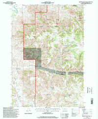
 1980 Birney1980 Print · USGSSoutheastern Montana enters a period of intensive energy development in the early 1980s as coal mines expand across the Big Horn County line. Researchers can trace the industrial footprints of the Spring Creek Mine and West Decker Mine or locate rural landmarks like the Birney Day School.
 - 1995 Map of Browns Mountain, 1998 Print
 1995 Browns Mountain1998 Print · USGSThe Tongue River breaks of Rosebud County are shown here in the mid-1990s as a landscape of forest management and ranching. Genealogists and historians can locate family landmarks like Bones Ranch and Gilliland Ranch among the springs and gulches of Custer National Forest.
 - 1995 Map of Birney Day School, 1998 Print
 1995 Birney Day School1998 Print · USGSEastern Montana in the 1990s reveals a landscape shaped by the Tongue River and the Northern Cheyenne Indian Reservation. Genealogists and historians can trace the community of Birney, locating the Birney Day School, a Cem, and the intricate Cheyenne Ditch.
 - 2011 Map of Cook Creek Butte, 2011 Print
 2011 Cook Creek Butte2011 Print · USGSCovers Birney District, including Muddy District, Lame Deer District, and other nearby areas
 - 2011 Map of Birney, 2011 Print
 2011 Birney2011 Print · USGSCovers Birney District, including Birney, Rosebud County, and other nearby areas
 - 2011 Map of Browns Mountain, 2011 Print
 2011 Browns Mountain2011 Print · USGSCovers Birney District, including Rosebud County, United States, and other nearby areas
 - 2011 Map of Hollowwood Creek, 2011 Print
 2011 Hollowwood Creek2011 Print · USGSCovers Birney District, including Lame Deer, Ashland District, and other nearby areas
 - 2011 Map of Birney Day School, 2011 Print
 2011 Birney Day School2011 Print · USGSCovers Birney District, including Ashland District, Birney, and other nearby areas
 - 2011 Map of Fisher Butte, 2011 Print
 2011 Fisher Butte2011 Print · USGSCovers Birney District, including Lame Deer, Ashland District, and other nearby areas
 - 2011 Map of Clubfoot Creek, 2011 Print
 2011 Clubfoot Creek2011 Print · USGSCovers Birney District, including Lame Deer District, Rosebud County, and other nearby areas
 - 2014 Map of Cook Creek Butte, 2014 Print
 2014 Cook Creek Butte2014 Print · USGSCovers Birney District, including Muddy District, Lame Deer District, and other nearby areas
 - 2014 Map of Birney Day School, 2014 Print
 2014 Birney Day School2014 Print · USGSCovers Birney District, including Ashland District, Birney, and other nearby areas
 - 2014 Map of Browns Mountain, 2014 Print
 2014 Browns Mountain2014 Print · USGSCovers Birney District, including Rosebud County, United States, and other nearby areas
 - 2014 Map of Fisher Butte, 2014 Print
 2014 Fisher Butte2014 Print · USGSCovers Birney District, including Lame Deer, Ashland District, and other nearby areas
Showing maps 1-25 of 49
Top neighborhoods of Birney District
Frequently asked questions
- What are the different types of historical maps available for Birney District?
- What is the oldest map of Birney District?
- Where can I purchase historical maps of Birney District for my home or office?
- Where can I download high-res historical maps of Birney District?
- Are there historical topographic maps available for Birney District?
- Is there historical aerial imagery available for Birney District?
- Where are historical maps of Birney District sourced from?