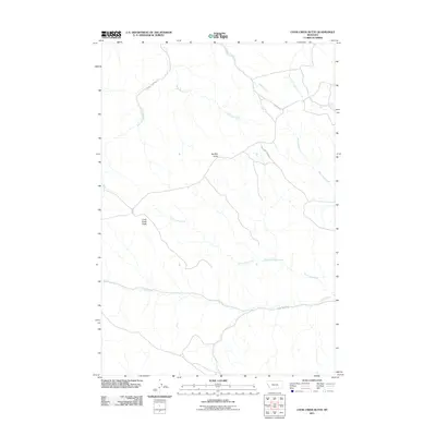
2011 Map of Cook Creek Butte
USGS Topo · Published 2011About this map
Buffalo Jump stands as a prominent cultural and topographic marker in this high plains landscape within the Birney District. The terrain is defined by a dense network of seasonal drainages and creek forks, including Saint Johns Fork and South Fork Lame Deer Creek, which carve through the plateau. This 2011 survey captures the area's transition into the modern era, where remote access is maintained via unpaved routes such as Cook Creek Rd and Wild Hog Creek Rd. The presence of the Cook Creek Butte provides a central landmark for navigating this portion of Rosebud County, while the recorded 05S41E10ACBC01 Spring indicates the critical role of water sources in this arid environment. The map details a landscape largely defined by its natural hydrology, from Clubfoot Creek in the northeast to the namesake Cook Creek winding through the southern reaches.
Find a feature on this map
14 named features on this map. Tap any name to fly to it.
Don’t see what you’re looking for? This feature index may not catch every label — zoom into the map to look around manually.
Map Details
Editions of this 2011 Cook Creek Butte Map
This is the sole edition of this map. No revisions or reprints were ever made.
Other maps of this area

1954 · Hardin
USGS Topo · 1:250,000

1957 · Hardin
USGS Topo · 1:250,000

1958 · Hardin
USGS Topo · 1:250,000

1958 · Painted Hill
USGS Topo · 1:24,000

1958 · Bull Creek Lookout
USGS Topo · 1:24,000

1958 · Fisher Butte
USGS Topo · 1:24,000

1958 · Lame Deer
USGS Topo · 1:24,000

1967 · Clubfoot Creek
USGS Topo · 1:24,000

1967 · Birney
USGS Topo · 1:24,000
1967 · Cook Creek Butte
USGS Topo · 1:24,000