
1958 Map of Fisher Butte
USGS Topo · Published 1960About this map
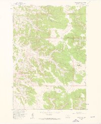
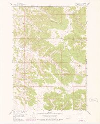
The Lame Deer Strip Mine stands as a prominent industrial feature on the northwestern landscape of this Rosebud County region, illustrating the mid-century extraction activities within the Missouri River Basin. The terrain is deeply carved by a network of seasonal and perennial waters, including Soldier Gulch and Coal Creek, which feed into the South Fork and Alderson Creek. Named springs like Crazy Head Spring, Broken Jaw Spring, and Spang Spring suggest a landscape where reliable water sources were critical for both wildlife and human activity in the hills surrounding Fisher Butte. The intricate drainage patterns of Standing Elk Creek and White Buffalo Creek highlight the geological character of the area just before the turn of the 1960s, providing a clear record of the watershed and industrial footprint prior to further modern development.
Find a feature on this map
23 named features on this map. Tap any name to fly to it.
Don’t see what you’re looking for? This feature index may not catch every label — zoom into the map to look around manually.
Map Details
Editions of this 1958 Fisher Butte Map
3 editions found
Other maps of this area

1954 · Hardin
USGS Topo · 1:250,000

1957 · Hardin
USGS Topo · 1:250,000

1958 · Hardin
USGS Topo · 1:250,000

1958 · Garfield Peak
USGS Topo · 1:24,000

1958 · Jimtown
USGS Topo · 1:24,000

1958 · Lame Deer
USGS Topo · 1:24,000

1958 · Badger Peak
USGS Topo · 1:24,000

1958 · Hollowwood Creek
USGS Topo · 1:24,000

1966 · Birney Day School
USGS Topo · 1:24,000

1967 · Clubfoot Creek
USGS Topo · 1:24,000