
1966 Map of Birney Day School
USGS Topo · Published 1969About this map
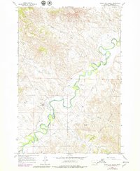
The Tongue River meanders sharply through the high plains of southeastern Montana in this 1966 survey, carving a fertile valley between the Northern Cheyenne Indian Reservation and the Custer National Forest. The small settlement of Birney serves as the focal point of the area, featuring the namesake Birney Day School and a nearby Cem. The landscape is a complex network of drainages and seasonal watercourses, including Mission Creek, Pawnee Creek, and Poker Jim Creek, which feed into the main river channel.
Find a feature on this map
23 named features on this map. Tap any name to fly to it.
Don’t see what you’re looking for? This feature index may not catch every label — zoom into the map to look around manually.
Map Details
Editions of this 1966 Birney Day School Map
3 editions found
Other maps of this area

1954 · Hardin
USGS Topo · 1:250,000

1957 · Hardin
USGS Topo · 1:250,000

1958 · Hardin
USGS Topo · 1:250,000

1958 · Fisher Butte
USGS Topo · 1:24,000

1958 · Hollowwood Creek
USGS Topo · 1:24,000

1966 · Browns Mountain
USGS Topo · 1:24,000

1966 · Ashland
USGS Topo · 1:24,000

1966 · Poker Jim Butte
USGS Topo · 1:24,000
1966 · Green Creek
USGS Topo · 1:24,000

1967 · Clubfoot Creek
USGS Topo · 1:24,000