
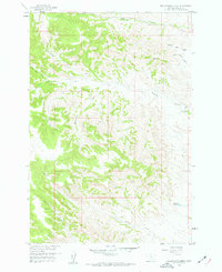
1958 Map of Hollowwood Creek
USGS Topo · Published 1960About this map
Hollowwood Creek and its surrounding drainage network define this 1950s landscape in Rosebud County, Montana, mapped as part of a Department of the Interior program for the development of the Missouri River Basin. The terrain is characterized by a dense system of coulees and forks, including the evocatively named Walking Horse Coulee, Little Coyote Coulee, and Crazy Head Fork.
Find a feature on this map
16 named features on this map. Tap any name to fly to it.
Don’t see what you’re looking for? This feature index may not catch every label — zoom into the map to look around manually.
Map Details
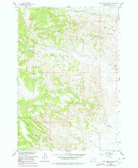
Editions of this 1958 Hollowwood Creek Map
3 editions found
Other maps of this area

1954 · Hardin
USGS Topo · 1:250,000

1957 · Hardin
USGS Topo · 1:250,000

1958 · Hardin
USGS Topo · 1:250,000

1958 · Garfield Peak
USGS Topo · 1:24,000

1958 · Fisher Butte
USGS Topo · 1:24,000

1958 · Badger Peak
USGS Topo · 1:24,000

1966 · Ashland
USGS Topo · 1:24,000

1966 · Birney Day School
USGS Topo · 1:24,000

1966 · Ashland NE
USGS Topo · 1:24,000
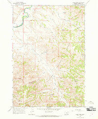
1966 · Green Creek
USGS Topo · 1:24,000