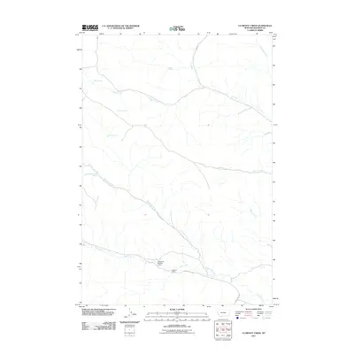
2011 Map of Clubfoot Creek
USGS Topo · Published 2011About this map
Morland Ranch sits at the intersection of a vast network of drainages and seasonal water sources in this pocket of Rosebud County. The landscape is defined by the convergence of major forks including Clubfoot Creek, Black Eagle Fork, and Cook Creek, which carve through the terrain. Evidence of water management in this arid environment is visible at the Cheyenne Number 4 Dam, while numerous named springs like Rondeau Spring and B Heart Spring mark essential landmarks across the northern reaches.
Find a feature on this map
17 named features on this map. Tap any name to fly to it.
Don’t see what you’re looking for? This feature index may not catch every label — zoom into the map to look around manually.
Map Details
Editions of this 2011 Clubfoot Creek Map
This is the sole edition of this map. No revisions or reprints were ever made.
Other maps of this area

1954 · Hardin
USGS Topo · 1:250,000

1957 · Hardin
USGS Topo · 1:250,000

1958 · Hardin
USGS Topo · 1:250,000

1958 · Fisher Butte
USGS Topo · 1:24,000

1958 · Lame Deer
USGS Topo · 1:24,000

1958 · Hollowwood Creek
USGS Topo · 1:24,000

1966 · Browns Mountain
USGS Topo · 1:24,000

1966 · Birney Day School
USGS Topo · 1:24,000

1967 · Clubfoot Creek
USGS Topo · 1:24,000

1967 · Birney
USGS Topo · 1:24,000