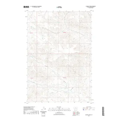
2020 Map of Clubfoot Creek
USGS Topo · Published 2020About this map
Clubfoot Cr and its complex network of tributaries define this part of Rosebud County, where the landscape is marked by numerous named water sources essential for life in the high plains. The drainage system is anchored by Black Eagle Fork and Saint Johns Fork, which feed into larger regional basins. For those studying the history of land use and ranching in the Birney District, the prevalence of sites like Rondeau Spring, B Heart Spring, and Elliot Spring indicates the critical importance of reliable water in this terrain. Connectivity across the territory is maintained by the Cook Creek Rd and the Ashland-Birney Rd, which follow the natural contours of the drainages, linking these remote drainages to the larger trade routes of southeastern Montana.
Find a feature on this map
22 named features on this map. Tap any name to fly to it.
Don’t see what you’re looking for? This feature index may not catch every label — zoom into the map to look around manually.
Map Details
Editions of this 2020 Clubfoot Creek Map
This is the sole edition of this map. No revisions or reprints were ever made.
Other maps of this area

1954 · Hardin
USGS Topo · 1:250,000

1957 · Hardin
USGS Topo · 1:250,000

1958 · Hardin
USGS Topo · 1:250,000

1958 · Fisher Butte
USGS Topo · 1:24,000

1958 · Lame Deer
USGS Topo · 1:24,000

1958 · Hollowwood Creek
USGS Topo · 1:24,000

1966 · Browns Mountain
USGS Topo · 1:24,000

1966 · Birney Day School
USGS Topo · 1:24,000

1967 · Clubfoot Creek
USGS Topo · 1:24,000

1967 · Birney
USGS Topo · 1:24,000