Old Maps of Blanchards Corner, Montana for Hiking & Exploration
Hike through history with 10 historic maps of Blanchards Corner. Explore old trails, ghost towns, and forgotten backroads — perfect for outdoor adventurers and local explorers.
- Rediscover forgotten places: Map out old mining camps, roads, and footpaths that no longer exist on modern maps.
- Layer with modern tools: Combine with LiDAR or satellite views to plan hikes through historical terrain.
- Made for exploration: Popular among hikers, overlanders, and local history lovers.
Use these maps to find adventure and explore the hidden past of Blanchards Corner.
Blanchards Corner, MT maps
(10)- 1956 Map of Wallace, 1966 Print
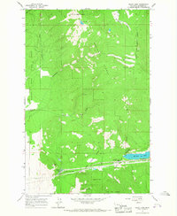
 1956 Wallace1966 Print · USGSWestern Montana and the Idaho panhandle meet in this mid-century survey of the Bitterroot and Cabinet Mountains. Genealogists and historians can trace the rail-and-river economy through the Northern Pacific line and settlements like Thompson Falls or St. Ignatius.3 unique versions available
 - 1960 Map of Wallace
 1960 Wallace1960 Print · USGSNorthwestern Montana and the Idaho panhandle are captured in the late fifties, showing the vast Flathead Indian Reservation and the mining districts of the Bitterroot Range. Researchers can trace the rail lines of the Northern Pacific or locate early sites like the Morning Mine and the National Bison Range.
 - 1964 Map of Baldy Lake, 1967 Print
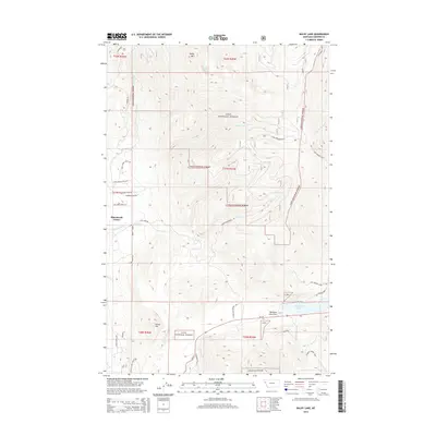
 1964 Baldy Lake1967 Print · USGSThe high forest country of Sanders County is captured in the mid-1960s, showing the intersection of federal lands and reservation boundaries. Locate the Lookout Tower on Baldy Mountain or trace the early roads near Blanchards Corner and Rainbow Lake.
 - 1980 Map of Polson, 1982 Print
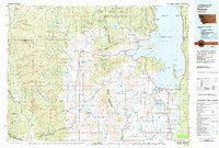 1980 Polson1982 Print · USGSThe Flathead Indian Reservation and its surrounding timberlands are captured here in the early eighties. Genealogists and historians can trace the development of Polson, locate remote sites like the Flathead Mine, and follow the Burlington Northern rail line through Pablo and Ronan.
 - 1999 Map of Baldy Lake, 2003 Print
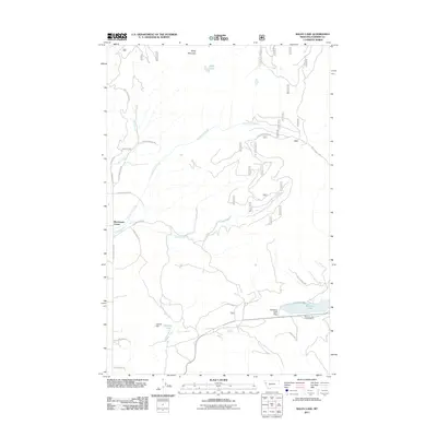
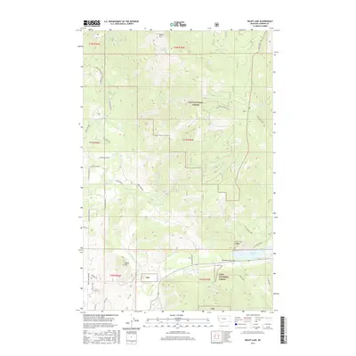
 1999 Baldy Lake2003 Print · USGSSanders County at the close of the twentieth century shows a landscape where timberlands and tribal lands intersect near Blanchards Corner. Researchers can trace old irrigation routes like McGinnis Ditch or locate landmarks like Rainbow Lake Pass and Baldy Lake.
 - 2011 Map of Baldy Lake, 2011 Print
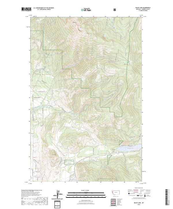
 2011 Baldy Lake2011 Print · USGSCovers Blanchards Corner, including Sanders County, United States, and other nearby areas
 - 2014 Map of Baldy Lake, 2014 Print
 2014 Baldy Lake2014 Print · USGSCovers Blanchards Corner, including Sanders County, United States, and other nearby areas
 - 2017 Map of Baldy Lake, 2017 Print
 2017 Baldy Lake2017 Print · USGSCovers Blanchards Corner, including Sanders County, United States, and other nearby areas
 - 2020 Map of Baldy Lake, 2020 Print
 2020 Baldy Lake2020 Print · USGSCovers Blanchards Corner, including Sanders County, United States, and other nearby areas
 - 2024 Map of Baldy Lake, 2024 Print
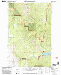
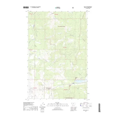
 2024 Baldy Lake2024 Print · USGSHigh in the Montana backcountry during the early 2020s, this survey documents the wilderness around the Cabinet Mountains. Hikers and local historians can trace paths to Baldy Lake or follow timber access roads like Lone Man Divide Rd and Clark Creek Rd.
End of results
Showing maps 1-10 of 10
Top cities near Blanchards Corner
- Plains historical maps
- Hot Springs historical maps
- Hot Springs historical maps
- Paradise historical maps
Frequently asked questions
- What are the different types of historical maps available for Blanchards Corner?
- What is the oldest map of Blanchards Corner?
- Where can I purchase historical maps of Blanchards Corner for my home or office?
- Where can I download high-res historical maps of Blanchards Corner?
- Are there historical topographic maps available for Blanchards Corner?
- Is there historical aerial imagery available for Blanchards Corner?
- Where are historical maps of Blanchards Corner sourced from?