Old Maps of Floral Park, Butte for Metal Detecting
Plan your next treasure hunt with 14 historic maps of Floral Park. Find old homesites, ghost towns, trails, and gathering spots that may be lost to time — perfect for identifying promising metal detecting locations.
- Locate forgotten sites: Uncover places like long-lost settlements, abandoned rail lines, or gathering spots.
- Plan better hunts: Use map overlays combined with LiDAR or satellite views to narrow in on historically rich areas.
- Made for detectorists: Thousands of hobbyists use these maps to discover relics, coins, and hidden history.
Use these historic maps to boost your research and find new opportunities beneath the surface of Floral Park.
Floral Park, Butte maps
(14)- 1893 Map of Dillon
 1893 Dillon1893 Print · USGSSouthwestern Montana’s mountain ranges and river basins were being reshaped by the mining and rail boom in the late nineteenth century. Genealogists and historians can trace the early layout of Dillon and vanished camps like Hecla, Rochester, and Argenta.5 unique versions available
 - 1955 Map of Dillon, 1978 Print
 1955 Dillon1978 Print · USGSSouthwest Montana at the dawn of the interstate era reveals a landscape of high-mountain ranching and historic mining camps. Trace the routes of the Union Pacific through Dillon and Armstead, or locate early settlements like Bannack and Wisdom.2 unique versions available
 - 1957 Map of Dillon
 1957 Dillon1957 Print · USGSSouthwest Montana and Idaho in the mid-fifties reveal a high-country landscape of mountain ranges and ranching valleys. Genealogists can trace family holdings and rail stops along the Union Pacific Railroad, from Dillon to historic Virginia City and Twin Bridges.
 - 1958 Map of Dillon
 1958 Dillon1958 Print · USGSSouthwestern Montana during the late fifties reveals a high-country landscape defined by the Continental Divide and a legacy of mountain mining. Genealogists and historians can trace rail lines like the Union Pacific or locate early industrial sites including the Hecla Mine and Ermont Mine.
 - 1962 Map of Dillon
 1962 Dillon1962 Print · USGSSouthwest Montana in the early sixties is defined by its high mountain ranges and the winding rivers that carved its settlement patterns. Trace the rail routes of the Union Pacific through Dillon or locate mining activity near Butte and Argenta.
 - 1963 Map of Homestake, 1966 Print
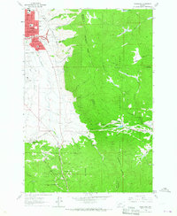 1963 Homestake1966 Print · USGSDuring the early sixties, the mountains east of Butte saw the rise of modern highways alongside historic rail lines. Trace old routes through Homestake and Janney, or locate family landmarks like the McAllister Ranch and Holy Cross Cem.2 unique versions available
 - 1965 Map of Dillon
 1965 Dillon1965 Print · USGSSouthwest Montana in the mid-1960s is defined by its rugged river valleys and high mountain passes along the Continental Divide. Researchers can trace the path of the Union Pacific through Dillon and Armstead, or locate early mining activity near Melrose and Wise River.
 - 1975 Map of Butte South
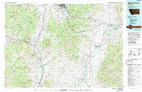 1975 Butte South1975 Print · USGSIn the mid-1970s, the mountainous terrain south of Butte was a hub of mining and rail activity. You can trace the Burlington Northern line through historic settlements like Melrose, Twin Bridges, and Whitehall, or locate family-named mines including Watseca Mine and Hecla Mines.
 - 1996 Map of Homestake, 1998 Print
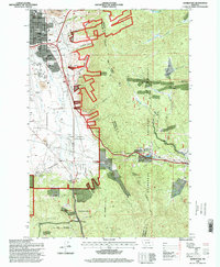 1996 Homestake1998 Print · USGSThe high mountain passes above Butte come into focus in the mid-nineties as urban neighborhoods met the wilderness of the Deerlodge National Forest. Genealogists and local historians can locate the Holy Cross Cemetery, the remote Mc Allister Ranch, and the mountain settlement of Homestake.
 - 2011 Map of Homestake, 2011 Print
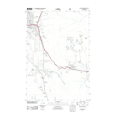 2011 Homestake2011 Print · USGSSilver Bow County at the peak of the Continental Divide reveals a landscape where Butte's industrial reach meets high-mountain passes. Trace the legacy of mountain mining at the Mountain Chief Mine or follow the rail-and-road paths through Homestake Pass and Tunnel Number 5.
 - 2014 Map of Homestake, 2014 Print
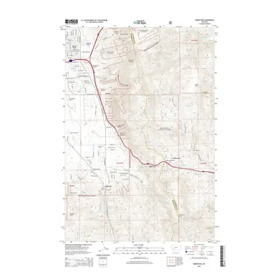 2014 Homestake2014 Print · USGSThe high country of the Rocky Mountains near Butte is captured here just after the turn of the millennium. Researchers can trace the rugged Continental Divide across Homestake Pass and locate settlements like Janney and Skones.
 - 2017 Map of Homestake, 2017 Print
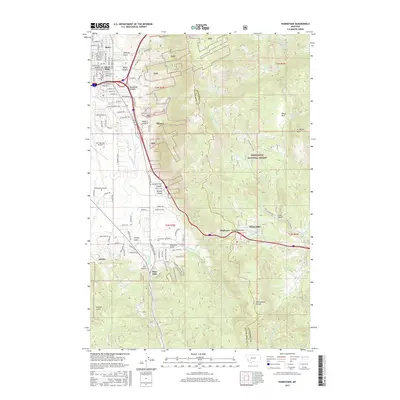 2017 Homestake2017 Print · USGSThe eastern edges of the Butte district are shown here in the 2010s as urban streets give way to the Continental Divide. Local historians can trace the paths of old settlements like Skones and Janney or find the remote Homestake Lake near the pass.
 - 2020 Map of Homestake, 2020 Print
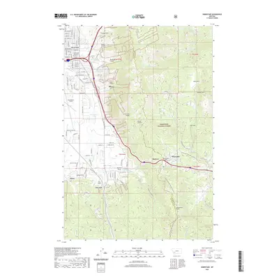 2020 Homestake2020 Print · USGSThe Continental Divide serves as the backbone of this high-altitude landscape near Butte during the early twenty-first century. Researchers can trace historic mountain transit points and settlements like Homestake Pass, Highview, and Skones.
 - 2024 Map of Homestake, 2024 Print
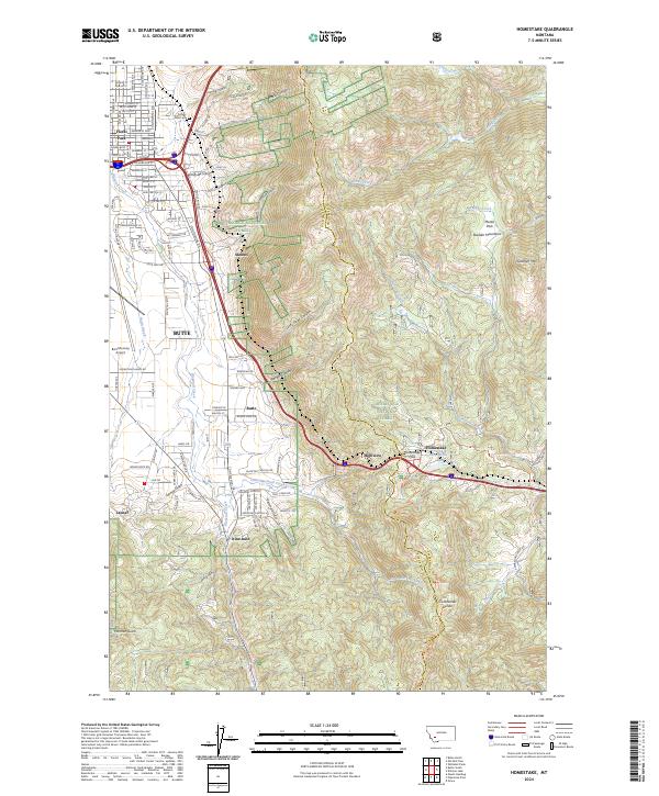 2024 Homestake2024 Print · USGSThe mountains east of Butte come into focus in this contemporary survey, centering on the critical high-elevation crossing at Homestake Pass. Researchers can trace old mountain outposts like Highview and Janney or locate the historic Potters Field Cem.
End of results
Showing maps 1-14 of 14
Frequently asked questions
- What are the different types of historical maps available for Floral Park?
- What is the oldest map of Floral Park?
- Where can I purchase historical maps of Floral Park for my home or office?
- Where can I download high-res historical maps of Floral Park?
- Are there historical topographic maps available for Floral Park?
- Is there historical aerial imagery available for Floral Park?
- Where are historical maps of Floral Park sourced from?