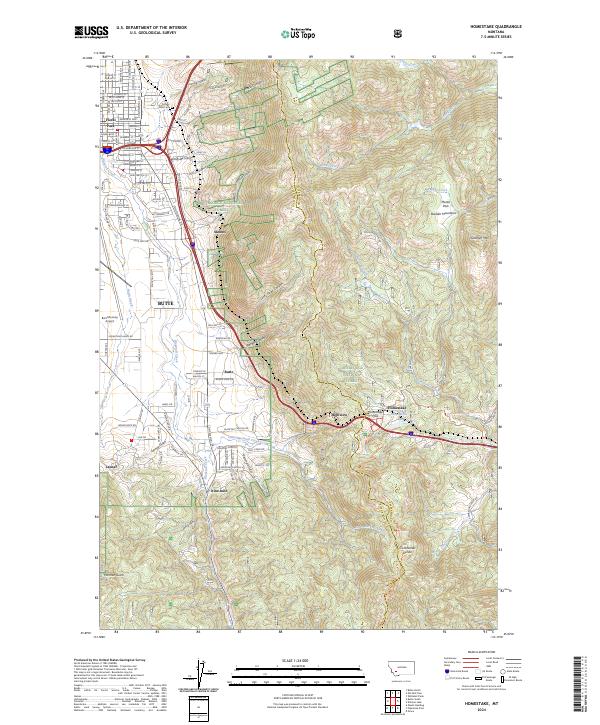
2024 Map of Homestake
USGS Topo · Published 2024About this map
The Continental Divide bisects this landscape where the rugged Boulder Mountains rise above the southeastern outskirts of Butte. Transitioning from the urban grid of neighborhoods like Floral Park and the small enclave at Skones, the map climbs toward the high passage at Homestake Pass. This crossing has long served as a critical corridor for transport, evidenced by the cluster of labels around the summit including Highview, Homestake, and the Homestake Lakes. To the south, smaller ranching or transit outposts such as Nine-Mile and Janney sit along Blacktail Creek, while the presence of Potters Field Cem near the city edge provides a poignant point of interest for genealogists. The map also captures the sprawling footprint of Bert Mooney Airport, positioned where the valley floor meets the foothills of the Deerlodge National Forest.
Find a feature on this map
79 named features on this map. Tap any name to fly to it.
Don’t see what you’re looking for? This feature index may not catch every label — zoom into the map to look around manually.
Map Details
Editions of this 2024 Homestake Map
This is the sole edition of this map. No revisions or reprints were ever made.
Other maps of this area

1889 · Helena
USGS Topo · 1:250,000

1893 · Helena
USGS Topo · 1:250,000

1893 · Dillon
USGS Topo · 1:250,000

1899 · Boulder
USGS Topo · 1:125,000

1899 · Helena
USGS Topo · 1:250,000

1903 · Helena
USGS Topo · 1:250,000

1947 · Butte
USGS Topo · 1:250,000

1954 · Elk Park
USGS Topo · 1:62,500

1955 · Dillon
USGS Topo · 1:250,000

1957 · Dillon
USGS Topo · 1:250,000