Old Maps of New Rockport Hutterite Colony, Montana
Explore 14 old maps of New Rockport Hutterite Colony, spanning from 1920 to today. These high-resolution historic maps reveal how streets, neighborhoods, landmarks, and natural features evolved over time — perfect for genealogy, metal detecting, research, and local history exploration.
What you can do with these maps:
- See how New Rockport Hutterite Colony changed over time: Compare historical maps to modern-day views to trace roads, homesites, rail lines & more.
- View detailed metadata: Each map includes creators, publishers, year, scale, and archive source.
- Overlay maps with satellite & LiDAR: Visualize the past alongside modern tools to explore terrain & human change.
- Trusted historical sources: Maps sourced from the USGS, Library of Congress, and other archives.
- Access maps your way: View online, download high-res files, or order prints for personal or research use.
Start exploring old maps of New Rockport Hutterite Colony to uncover forgotten places, hidden landmarks, and the deep history beneath your feet.
New Rockport Hutterite Colony, MT maps
(14)- 1920 Map of Choteau
 1920 Choteau1920 Print · USGSNorth-central Montana in the early twentieth century shows a landscape being reshaped by irrigation canals and competing rail lines. Family historians can trace early settlements like Agawam, Bole, and Gilman, or locate regional landmarks like Priest Butte and Pishkun Reservoir.
 - 1955 Map of Choteau, 1978 Print
 1955 Choteau1978 Print · USGSWestern Montana during the mid-fifties is captured here as a land of rugged high-country wilderness and vital eastern plains irrigation. Genealogists and historians can locate remote outposts like Condon, the communal Miller Colony, and the rail stops of the Chicago Milwaukee St Paul and Pacific.
 - 1957 Map of Choteau
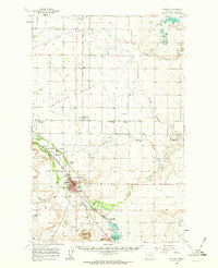
 1957 Choteau1957 Print · USGSMontana's mountain front meets the eastern plains in the mid-fifties, showing the transition from forested wilderness to irrigated ranch land. Genealogists and historians can trace the rail lines of the Great Northern and find settlements like Choteau, Augusta, and Seeley Lake.
 - 1958 Map of Choteau
 1958 Choteau1958 Print · USGSMontana's front range meets the high wilderness in the late fifties, where the Great Northern railway connects ranching towns to the eastern plains. Researchers can trace the development of irrigation at Bynum Reservoir or locate remote camps like the Big Prairie District Ranger Station and Helmville.2 unique versions available
 - 1960 Map of Choteau, 1962 Print
 1960 Choteau1962 Print · USGSMontana's Rocky Mountain Front is seen here in the early sixties, centered on the irrigation and rail networks around Choteau. Genealogists and local historians can trace rural school sites like East Farmington No 5 Sch or search for family roots at Trinity Cem and Agawam.2 unique versions available
 - 1962 Map of Choteau
 1962 Choteau1962 Print · USGSThe Rocky Mountain Front meets the western plains in the early 1960s, showing a landscape defined by the Continental Divide. Genealogists and researchers can trace the tracks of the Great Northern and find settlements like Choteau, Augusta, and Bynum.
 - 1976 Map of Choteau
 1976 Choteau1976 Print · USGSThe Montana Rocky Mountain Front meets the plains in the 1970s, showcasing the high-altitude wilderness and the irrigation-fed ranching country. Trace the Great Northern Railway through Choteau or locate rural landmarks like the Farmington Cemetery and Gibson Reservoir.
 - 1984 Map of Choteau
 1984 Choteau1984 Print · USGSThe Teton River country comes to life in this mid-eighties record of the Montana plains and mountains. Trace the footprints of early ranching and farming settlements like Farmington and Eastham Junction, or explore the unique Hutterite settlements at Miller Colony and New Rockport Colony.
 - 1987 Map of Choteau SE
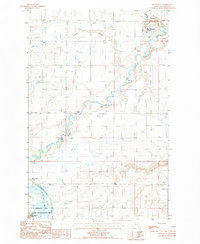 1987 Choteau SE1987 Print · USGSTeton County, Montana, is captured in the late eighties as a landscape of managed waters and high-plains agriculture. Researchers can trace the path of the Old RR Grade and locate local landmarks such as New Rockport Colony and Priest Butte.
 - 2011 Map of Choteau SE, 2011 Print
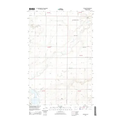
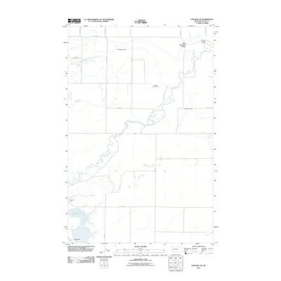 2011 Choteau SE2011 Print · USGSCovers New Rockport Hutterite Colony, including Teton County, United States, and other nearby areas
 - 2014 Map of Choteau SE, 2014 Print
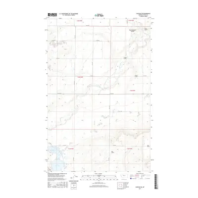
 2014 Choteau SE2014 Print · USGSCovers New Rockport Hutterite Colony, including Teton County, United States, and other nearby areas
 - 2017 Map of Choteau SE, 2017 Print
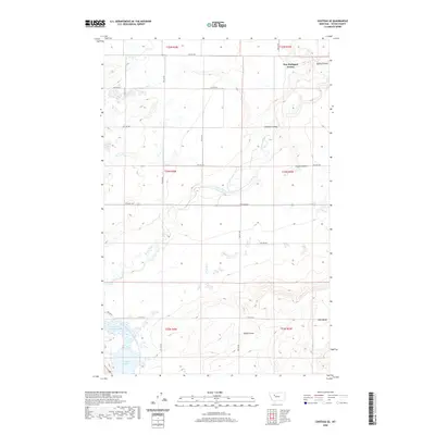
 2017 Choteau SE2017 Print · USGSCovers New Rockport Hutterite Colony, including Teton County, United States, and other nearby areas
 - 2020 Map of Choteau SE, 2020 Print
 2020 Choteau SE2020 Print · USGSCovers New Rockport Hutterite Colony, including Teton County, United States, and other nearby areas
 - 2024 Map of Choteau SE, 2024 Print
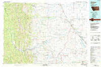
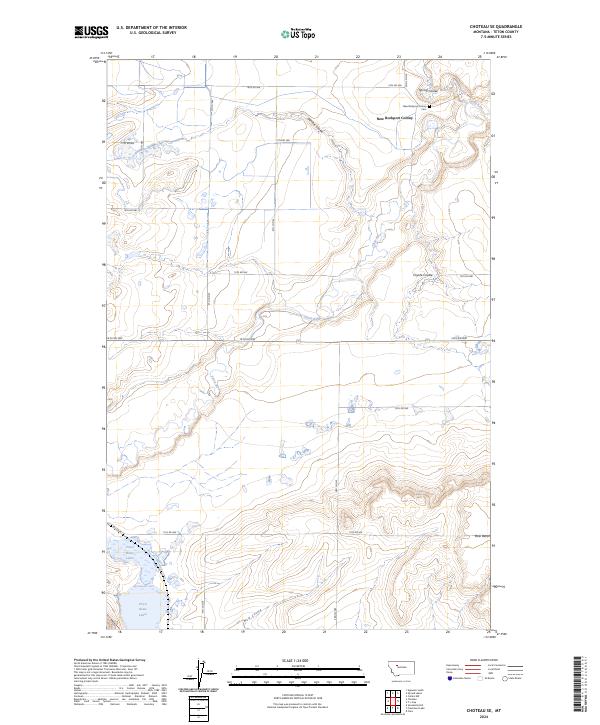 2024 Choteau SE2024 Print · USGSTeton County ranching and communal settlement life are captured here in the early twenty-first century. Researchers can locate the New Rockport Colony and New Rockport Colony Cem or trace the Teton River across the plains.
End of results
Showing maps 1-14 of 14
Top cities near New Rockport Hutterite Colony
Frequently asked questions
- What are the different types of historical maps available for New Rockport Hutterite Colony?
- What is the oldest map of New Rockport Hutterite Colony?
- Where can I purchase historical maps of New Rockport Hutterite Colony for my home or office?
- Where can I download high-res historical maps of New Rockport Hutterite Colony?
- Are there historical topographic maps available for New Rockport Hutterite Colony?
- Is there historical aerial imagery available for New Rockport Hutterite Colony?
- Where are historical maps of New Rockport Hutterite Colony sourced from?