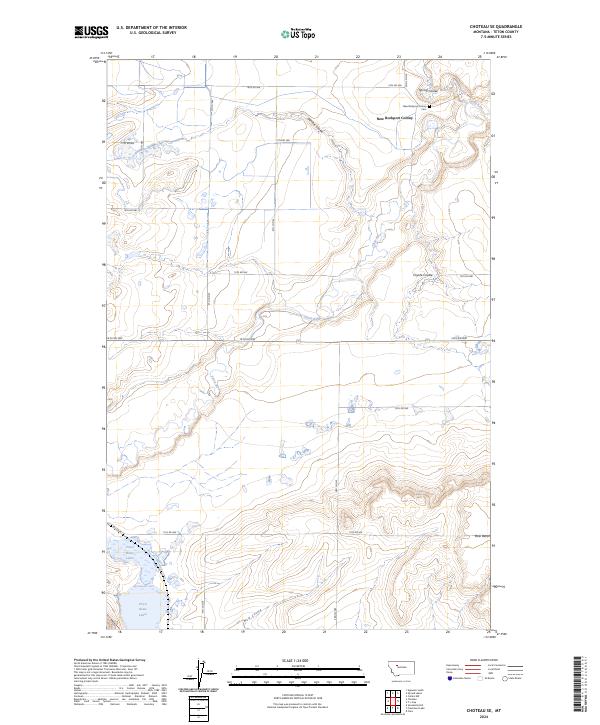
2024 Map of Choteau SE
USGS Topo · Published 2024About this map
The New Rockport Colony and its associated New Rockport Colony Cem anchor the northern reaches of this Teton County landscape. This agricultural settlement is situated near the Spring Coulee and Gamble Coulee, drainages that feed toward the Teton River as it meanders through the central part of the quadrangle. The river’s path is flanked by a grid of rural roads including 14th Rd NW and 5th Ln NW, reflecting the systematic land division of the Montana plains. To the south, the terrain rises toward Bole Bench and the water-rich area of the Priest Butte Lakes. This area illustrates a classic western water-management landscape, where named coulees like Coyote Coulee and Wolf Coulee carve through the high plains to define the local topography and drainage patterns.
Find a feature on this map
28 named features on this map. Tap any name to fly to it.
Don’t see what you’re looking for? This feature index may not catch every label — zoom into the map to look around manually.
Map Details
Editions of this 2024 Choteau SE Map
This is the sole edition of this map. No revisions or reprints were ever made.
Other maps of this area

1886 · Great Falls
USGS Topo · 1:250,000

1920 · Choteau
USGS Topo · 1:125,000

1950 · Fairfield
USGS Topo · 1:62,500

1950 · Collins
USGS Topo · 1:62,500

1954 · Great Falls
USGS Topo · 1:250,000

1955 · Choteau
USGS Topo · 1:250,000

1957 · Choteau
USGS Topo · 1:250,000

1957 · Great Falls
USGS Topo · 1:250,000

1958 · Choteau
USGS Topo · 1:250,000

1960 · Choteau
USGS Topo · 1:62,500