Old Maps of Rockport Hutterite Colony, Montana for Hiking & Exploration
Hike through history with 13 historic maps of Rockport Hutterite Colony. Explore old trails, ghost towns, and forgotten backroads — perfect for outdoor adventurers and local explorers.
- Rediscover forgotten places: Map out old mining camps, roads, and footpaths that no longer exist on modern maps.
- Layer with modern tools: Combine with LiDAR or satellite views to plan hikes through historical terrain.
- Made for exploration: Popular among hikers, overlanders, and local history lovers.
Use these maps to find adventure and explore the hidden past of Rockport Hutterite Colony.
Rockport Hutterite Colony, MT maps
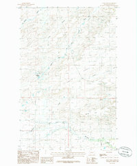
(13)- 1920 Map of Dupuyer
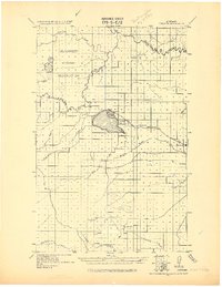 1920 Dupuyer1920 Print · USGSHigh plains ranching and early irrigation projects define this 1920s survey of the Montana frontier. Genealogists and historians can trace the early rail stops and homestead hubs at Valier, Pendroy, and Manson along the Montana Western R. R. line.
 - 1936 Map of Pendroy
 1936 Pendroy1936 Print · USGSThe railhead at Pendroy and the neighboring ranching communities were thriving in the mid-1930s before the era of modern consolidation. Researchers can trace family homesteads like Jensen Ranch or investigate early resource extraction at the Hubbard Mine and Oil Well sites.2 unique versions available
 - 1941 Map of Pendroy
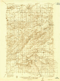
 1941 Pendroy1941 Print · USGSThe Montana high plains meet the Rocky Mountain Front in this pre-war survey of the Teton and Pondera county line. Local historians can trace the early ranching economy through landmarks like the Soberup Ranch and Hall Ranch, or locate coal operations at the Hubbard Mine.2 unique versions available
 - 1960 Map of Cut Bank, 1968 Print
 1960 Cut Bank1968 Print · USGSThe high peaks of the Rockies meet the eastern plains in the 1960s, showing the intersection of federal lands and the Blackfeet Indian Reservation. Trace the path of the Great Northern railway and find local landmarks like the Blackfoot Boarding School and Family Mission Cem.3 unique versions available
 - 1963 Map of Cut Bank
 1963 Cut Bank1963 Print · USGSNorthern Montana’s mountain passes and high plains are captured here in the early 1960s. Genealogists and historians can trace the Great Northern rail stops from Browning to Ethridge or locate the remote outposts at Polebridge and Babb.
 - 1964 Map of Cut Bank
 1964 Cut Bank1964 Print · USGSGlacier National Park and the Blackfeet Indian Reservation meet in the early sixties at the triple divide of North America. Researchers can trace the Great Northern Railway through mountain passes and locate local landmarks like the Blackfoot Boarding School and Apgar Village.
 - 1984 Map of Valier
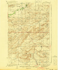
 1984 Valier1984 Print · USGSNorthwestern Montana in the mid-1980s reveals a unique landscape of Hutterite agricultural colonies and high mountain wilderness. Genealogists and historians can trace the irrigation networks and rail stops from Valier to Birch Creek Colony and the Kellogg Mine.
 - 1985 Map of Soap Creek, 1986 Print
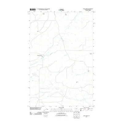
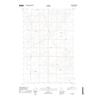
 1985 Soap Creek1986 Print · USGSThe Teton County plains are captured in the mid-1980s, centered on the hutterite settlement at Rockport Colony. Researchers can trace irrigation infrastructure like the Bynum Canal and family-named landmarks including Jones Spring and Jensen Coulee.
 - 2011 Map of Soap Creek, 2011 Print
 2011 Soap Creek2011 Print · USGSCovers Rockport Hutterite Colony, including Teton County, United States, and other nearby areas
 - 2014 Map of Soap Creek, 2014 Print
 2014 Soap Creek2014 Print · USGSCovers Rockport Hutterite Colony, including Teton County, United States, and other nearby areas
 - 2017 Map of Soap Creek, 2017 Print
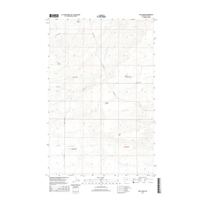 2017 Soap Creek2017 Print · USGSCovers Rockport Hutterite Colony, including Teton County, United States, and other nearby areas
 - 2020 Map of Soap Creek, 2020 Print
 2020 Soap Creek2020 Print · USGSCovers Rockport Hutterite Colony, including Teton County, United States, and other nearby areas
 - 2024 Map of Soap Creek, 2024 Print
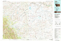
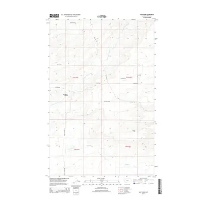
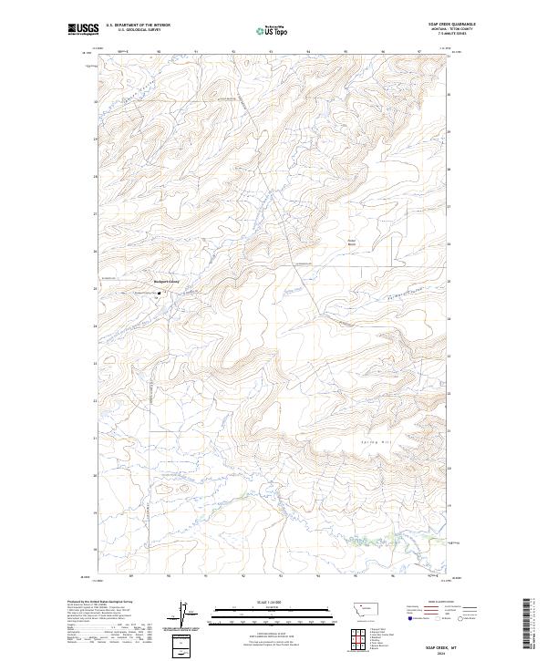 2024 Soap Creek2024 Print · USGSNorthwestern Montana ranching and conservation lands are detailed in this recent survey. Local researchers can locate the Rockport Colony, its local Rockport Colony Cem, and landmarks like Porter Bench.
End of results
Showing maps 1-13 of 13
Frequently asked questions
- What are the different types of historical maps available for Rockport Hutterite Colony?
- What is the oldest map of Rockport Hutterite Colony?
- Where can I purchase historical maps of Rockport Hutterite Colony for my home or office?
- Where can I download high-res historical maps of Rockport Hutterite Colony?
- Are there historical topographic maps available for Rockport Hutterite Colony?
- Is there historical aerial imagery available for Rockport Hutterite Colony?
- Where are historical maps of Rockport Hutterite Colony sourced from?