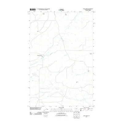
2011 Map of Soap Creek
USGS Topo · Published 2011About this map
Rockport Colony and several family-held agricultural outposts anchor this portion of Teton County, where the plains are deeply etched by seasonal drainage systems. The landscape is defined by the wandering courses of the South Fork Dry Fork Marias River and Blackleaf Creek, which cut through the terrain alongside numerous coulees such as Jensen Coulee and Farmers Coulee. This 2011 survey reveals a rural network of gravel routes like N Gypsy Basin Rd and W Pendroy Rd connecting remote homesteads including the Sullivan Ranch and Spring Hill Ranch. The map captures a moment of modern ranching life where water management is critical, evidenced by the named creeks and the high concentration of ranches situated near reliable drainages like Soap Creek and Jones Creek.
Find a feature on this map
19 named features on this map. Tap any name to fly to it.
Don’t see what you’re looking for? This feature index may not catch every label — zoom into the map to look around manually.
Map Details
Editions of this 2011 Soap Creek Map
This is the sole edition of this map. No revisions or reprints were ever made.
Other maps of this area

1903 · Saypo
USGS Topo · 1:125,000

1914 · Heart Butte
USGS Topo · 1:125,000

1918 · Heart Butte
USGS Topo · 1:125,000

1920 · Choteau
USGS Topo · 1:125,000

1920 · Dupuyer
USGS Topo · 1:125,000

1936 · Pendroy
USGS Topo · 1:48,000

1941 · Pendroy
USGS Topo · 1:62,500

1955 · Choteau
USGS Topo · 1:250,000

1957 · Choteau
USGS Topo · 1:250,000

1958 · Choteau
USGS Topo · 1:250,000