2020s Maps of Billings, Montana
Explore 12 historic maps of Billings from the 2020s. These maps offer a rare glimpse into what life looked like during the 2020s — showing old roads, neighborhoods, homes, and landmarks that have changed or disappeared over time.
Whether you're researching your family's past, planning a metal detecting trip, or studying how Billings's landscape evolved across the 2020s, these high-resolution maps are a powerful tool for exploring the history of this region.
- Focus on a specific era: All maps on this page are from the 2020s, giving you a focused view of this time period.
- See what’s changed: Compare century-old streets, trails, and buildings to today's modern landscape using overlays and satellite layers.
- Research with precision: Use these maps for genealogy, historical research, land use analysis, or educational projects.
- View, download, or print: Maps are fully viewable online in high resolution, and can be downloaded or printed for your own records.
Start exploring Billings's history through authentic maps from the 2020s. This is your window into the past.
Billings, MT maps
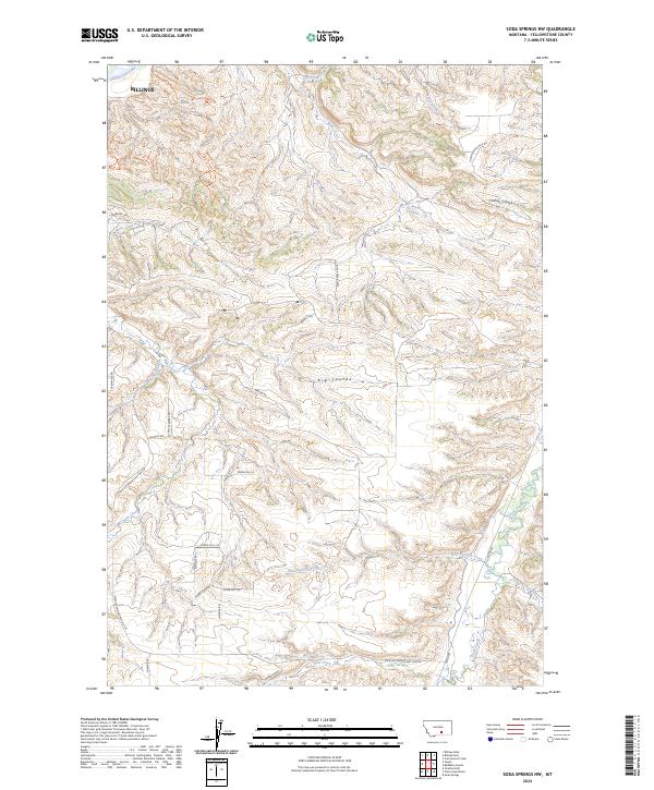
(12)- 2020 Map of Soda Springs NW, 2020 Print
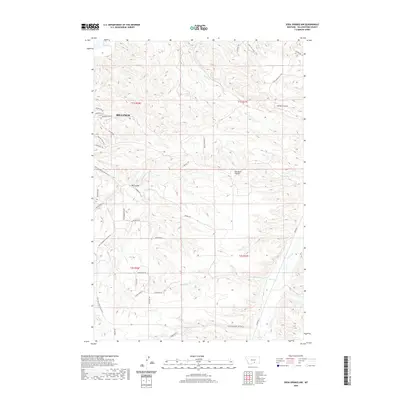 2020 Soda Springs NW2020 Print · USGSCovers Billings, including Yellowstone County, United States, and other nearby areas
 - 2020 Map of Billings West, 2020 Print
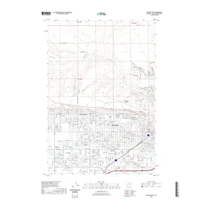 2020 Billings West2020 Print · USGSCovers Billings, including Yellowstone County, United States, and other nearby areas
 - 2020 Map of Rimrock, 2020 Print
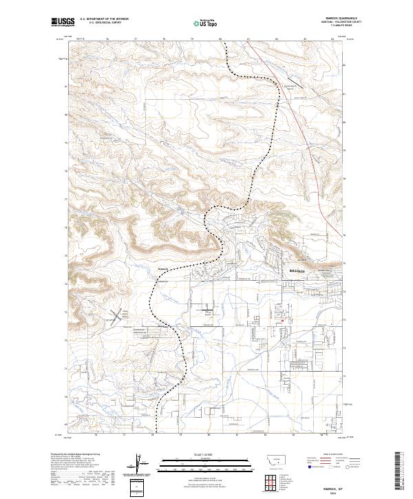
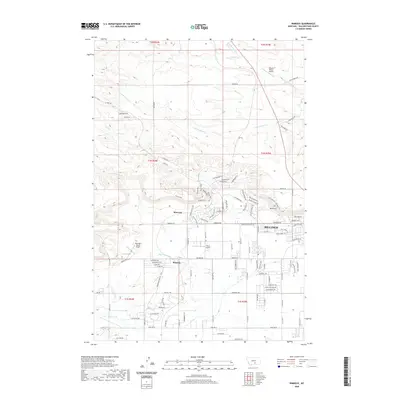 2020 Rimrock2020 Print · USGSCovers Billings, including Baseline, Yellowstone County, and other nearby areas
 - 2020 Map of Yegen, 2020 Print
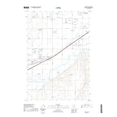
 2020 Yegen2020 Print · USGSCovers Billings, including Yegen, Yellowstone County, and other nearby areas
 - 2020 Map of Billings East, 2020 Print
 2020 Billings East2020 Print · USGSCovers Billings, including Hirsch, Yellowstone County, and other nearby areas
 - 2020 Map of Mossmain, 2020 Print
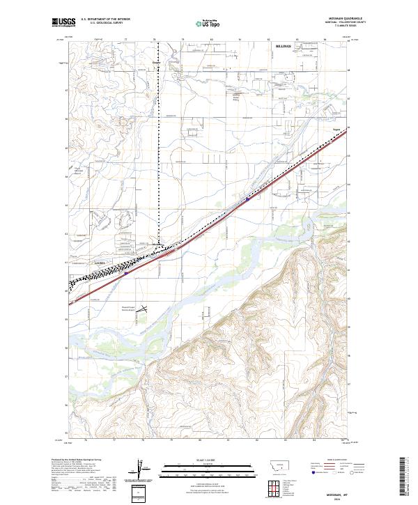
 2020 Mossmain2020 Print · USGSCovers Billings, including Laurel, Hesper, and other nearby areas
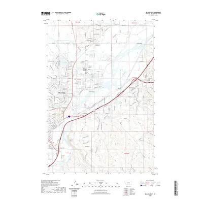
 - 2024 Map of Billings West, 2024 Print
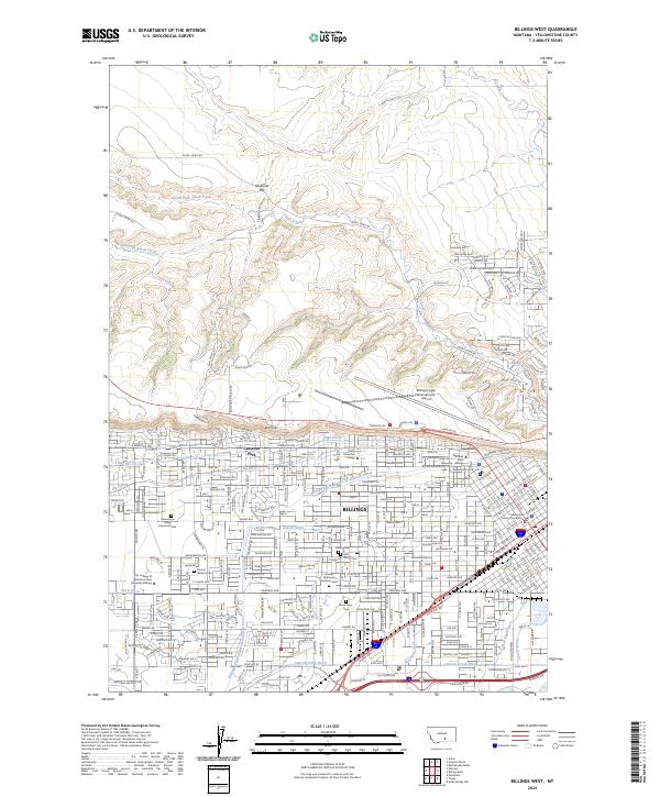 2024 Billings West2024 Print · USGSBillings and the Yellowstone Valley are shown in the 2020s as the city expands beneath the iconic Rimrocks. Researchers can trace local history through numerous sites like Mountview Cem, the Rocky Mountain College campus, and the complex Big Ditch irrigation network.
 - 2024 Map of Yegen, 2024 Print
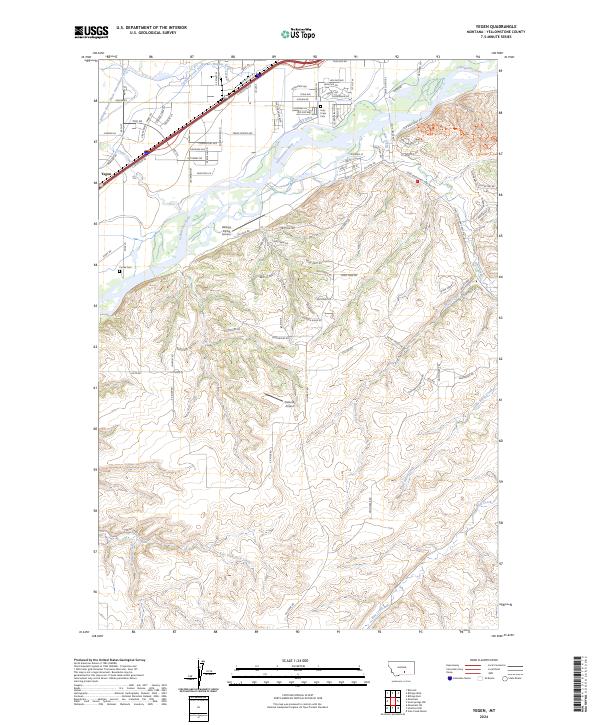 2024 Yegen2024 Print · USGSYellowstone County's river valley and southern uplands are shown in this modern survey during a period of ongoing development. Researchers can trace irrigation history through the Billings Bench Water Association Canal and locate family sites at Holy Cross Cem or Cooke Cem.
 - 2024 Map of Billings East, 2024 Print
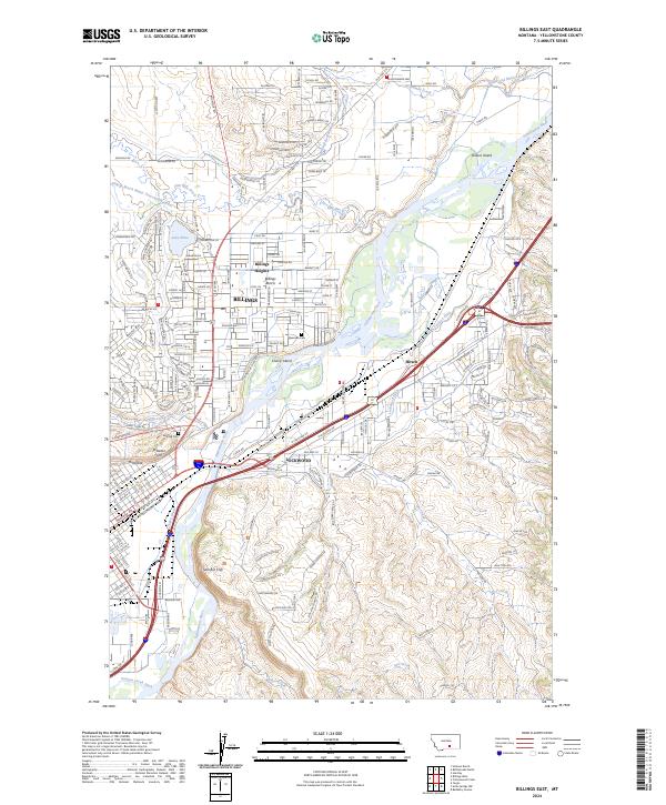 2024 Billings East2024 Print · USGSYellowstone County comes into focus in this contemporary survey of the river valley. Genealogists and historians can trace the sites of Boothill Cem, the high bluffs of Sacrifice Cliff, and the historic reach of Billings Heights.
 - 2024 Map of Mossmain, 2024 Print
 2024 Mossmain2024 Print · USGSThe Yellowstone River valley comes alive in this contemporary record of the vital transit corridor west of Billings. Researchers can trace the complex irrigation networks of the Billings Bench Water Association Canal and the settlement patterns at Mossmain and Yegen.
 - 2024 Map of Rimrock, 2024 Print
 2024 Rimrock2024 Print · USGSThe northwestern outskirts of Billings and the settlement of Rimrock are captured here during a period of suburban expansion and agricultural persistence. Researchers can trace irrigation networks like the High Ditch and identify local landmarks such as Haynes Ranch Airport or Hogans Slough.
 - 2024 Map of Soda Springs NW, 2024 Print
 2024 Soda Springs NW2024 Print · USGSThe outskirts of Billings meet the broken coulee country of Yellowstone County in this contemporary survey. Genealogists and local historians can trace modern development alongside older routes like the Freight Trl and drainage systems including Pryor Creek and Big Coulee.
End of results
Showing maps 1-12 of 12
Top cities near Billings
Top neighborhoods of Billings
- Billings Heights historical maps
- North Elevation historical maps
- North Side historical maps
- South Central historical maps
- South Side historical maps
- Cameron Park historical maps
See more
Frequently asked questions
- What are the different types of historical maps available for Billings?
- What is the oldest map of Billings?
- Where can I purchase historical maps of Billings for my home or office?
- Where can I download high-res historical maps of Billings?
- Are there historical topographic maps available for Billings?
- Is there historical aerial imagery available for Billings?
- Where are historical maps of Billings sourced from?