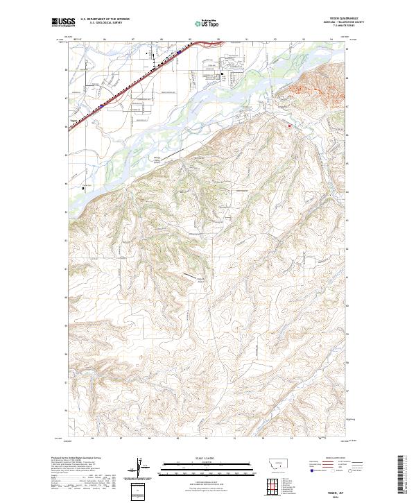
2024 Map of Yegen
USGS Topo · Published 2024About this map
The Yellowstone River cuts across this landscape just west of Billings, defining a complex network of historical irrigation and aviation activity. Near the settlement of Yegen, the hydraulic engineering of the region is evident in the paths of the Billings Bench Water Association Canal, Canyon Creek Ditch, and Suburban Ditch. These waterways supported the agricultural development of the valley floor, while aviation landmarks like Billings Flying Service and Ostlunds Airport mark the area's modern logistical role.
Find a feature on this map
106 named features on this map. Tap any name to fly to it.
Don’t see what you’re looking for? This feature index may not catch every label — zoom into the map to look around manually.
Map Details
Editions of this 2024 Yegen Map
This is the sole edition of this map. No revisions or reprints were ever made.
Other maps of this area

1893 · Huntley
USGS Topo · 1:125,000

1954 · Billings
USGS Topo · 1:250,000

1956 · Rimrock
USGS Topo · 1:24,000

1956 · Yegen
USGS Topo · 1:24,000

1956 · Billings East
USGS Topo · 1:24,000

1956 · Mossmain
USGS Topo · 1:24,000

1957 · Billings
USGS Topo · 1:250,000

1957 · Billings West
USGS Topo · 1:24,000

1958 · Billings
USGS Topo · 1:250,000
1967 · Mossmain SW
USGS Topo · 1:24,000