2020s Maps of Antelope County, Nebraska
Explore 25 historic maps of Antelope County from the 2020s. These maps offer a rare glimpse into what life looked like during the 2020s — showing old roads, neighborhoods, homes, and landmarks that have changed or disappeared over time.
Whether you're researching your family's past, planning a metal detecting trip, or studying how Antelope County's landscape evolved across the 2020s, these high-resolution maps are a powerful tool for exploring the history of this region.
- Focus on a specific era: All maps on this page are from the 2020s, giving you a focused view of this time period.
- See what’s changed: Compare century-old streets, trails, and buildings to today's modern landscape using overlays and satellite layers.
- Research with precision: Use these maps for genealogy, historical research, land use analysis, or educational projects.
- View, download, or print: Maps are fully viewable online in high resolution, and can be downloaded or printed for your own records.
Start exploring Antelope County's history through authentic maps from the 2020s. This is your window into the past.
Antelope County, NE maps
(25)- 2021 Map of Elgin, 2021 Print
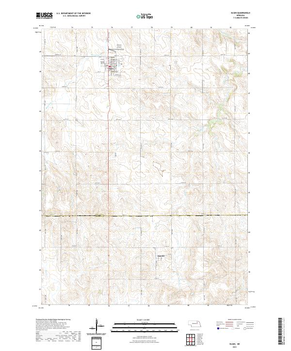 2021 Elgin2021 Print · USGSAntelope and Boone counties maintain their traditional agricultural character in this early 2020s survey. Researchers can trace the layout of Elgin, locate Koinzan Airport, and follow the paths of Blacksnake Cr and Cedar Cr across the plains.
 - 2021 Map of Elgin NW, 2021 Print
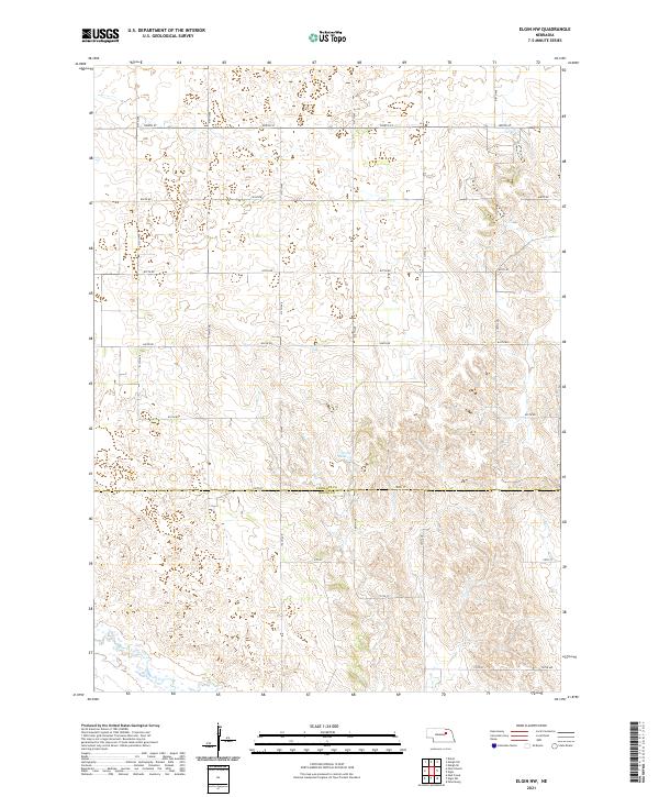 2021 Elgin NW2021 Print · USGSAntelope and Boone Counties are shown here during the early twenty-first century, featuring a landscape of precise section lines and rural water management. Researchers can trace the courses of Beaver Creek and Rae Cr or locate properties near Stoltz Reservoir.
 - 2021 Map of Park Church, 2021 Print
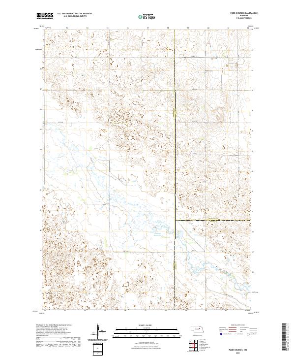 2021 Park Church2021 Print · USGSThe Nebraska prairie at the meeting of Wheeler, Antelope, and Boone Counties is captured in this modern survey. Researchers can trace the water systems of Beaver Creek and Jennings Reservoir or locate the community landmark of Park Church.
 - 2021 Map of Closter NE, 2021 Print
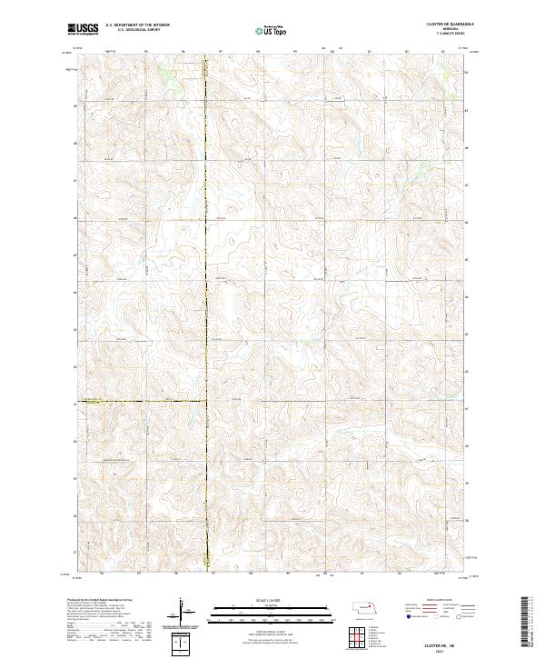 2021 Closter NE2021 Print · USGSMadison and Antelope counties meet in this structured agricultural landscape during the early twenty-first century. Genealogists and land researchers can trace property boundaries along State Hwy 45 and follow the drainage of Giles Cr and Buffalo Cr.
 - 2021 Map of Closter, 2021 Print
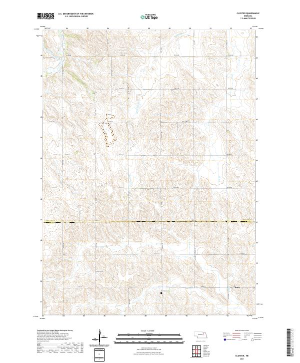 2021 Closter2021 Print · USGSThe Nebraska prairie at the border of Antelope and Boone counties remains a landscape of deep-rooted agricultural tradition and quiet creek drainages. Researchers can trace the rural layout near Closter and locate historical landmarks like Zion West Cem and Saint Clair Cr.
 - 2021 Map of Plainview NE, 2021 Print
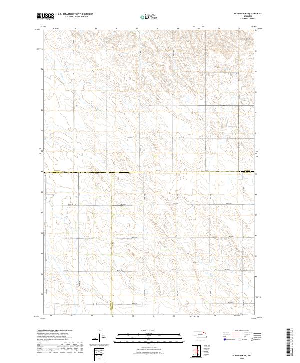 2021 Plainview NE2021 Print · USGSKnox County agricultural plains are captured here in the early 2020s at the meeting point of three Nebraska counties. Historians and genealogists can trace the rural landscape along Spring Cr and the precise county lines of Knox Co Pierce Co.
 - 2021 Map of Tilden, 2021 Print
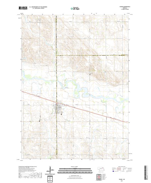 2021 Tilden2021 Print · USGSThe river valley around Tilden and the northern border of Madison County are documented here in the early twenty-first century. Researchers can locate family roots at Saint Marys Cem or Warren Cem and trace the path of the Cowboy Trl as it bisects the town.
 - 2021 Map of Ewing, 2021 Print
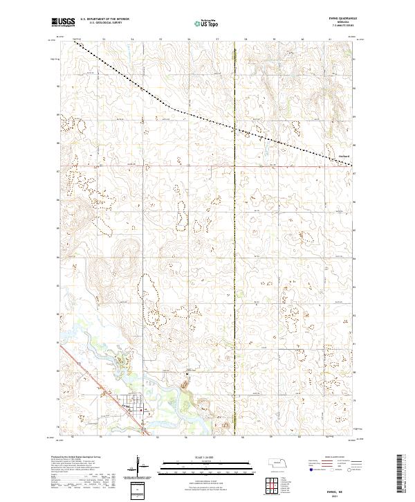 2021 Ewing2021 Print · USGSThe community of Ewing is captured here in the early twenty-first century at the confluence of the Elkhorn River forks. Researchers can trace the path of the Cowboy Trail and locate local landmarks like Saint Peters Cem and the outskirts of Orchard.
 - 2021 Map of Oakdale, 2021 Print
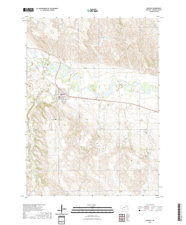 2021 Oakdale2021 Print · USGSAntelope County agriculture and river-valley life are well documented here during the early twenty-first century. Genealogists and local historians can trace the town grid of Oakdale, locate family plots at Oakdale Cem, and follow the path of the Cowboy Trl.
 - 2021 Map of Creighton, 2021 Print
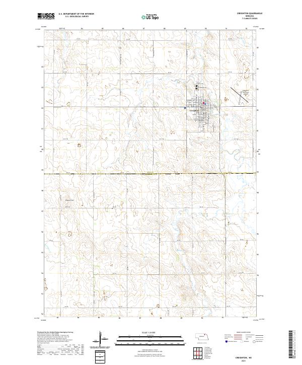 2021 Creighton2021 Print · USGSCreighton and the surrounding Knox County prairies are shown at the start of the 2020s, revealing a landscape of established agriculture and local aviation. Trace rural property boundaries near Council Hill or locate family sites by Saint Ludgers Cem and Bazile Creek.
 - 2021 Map of Tilden NW, 2021 Print
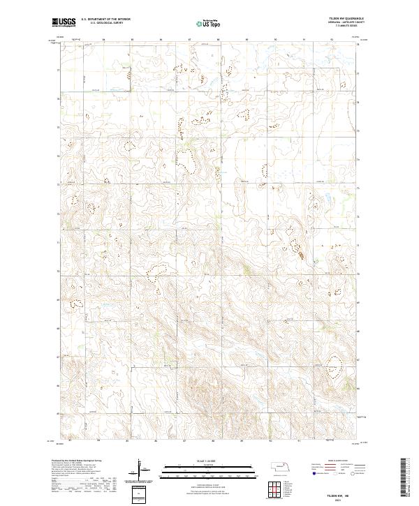 2021 Tilden NW2021 Print · USGSAntelope County in the early twenty-first century remains defined by its disciplined township grid and natural watercourses. Genealogists and land researchers can trace property boundaries along Pierce Rd or follow the paths of Willow Cr and Black Lake.
 - 2021 Map of Clearwater, 2021 Print
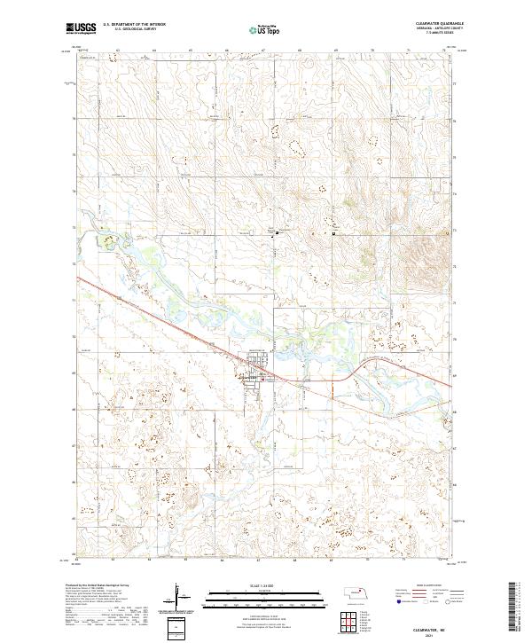 2021 Clearwater2021 Print · USGSThe village of Clearwater and the surrounding Antelope County plains are captured here in the early 2020s. Genealogists can locate Saint Theresa Cem and All Saints Cem, while outdoor historians can trace the Cowboy Trl through the Elkhorn River valley.
 - 2021 Map of Plainview, 2021 Print
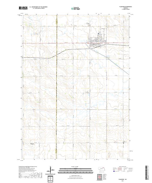 2021 Plainview2021 Print · USGSPierce County farming communities and the town of Plainview are captured here in the early twenty-first century. Genealogists can trace family plots at Pleasant View Cem and Stark Valley Cem or study the rural road network near Dry Cr.
 - 2021 Map of Orchard NW, 2021 Print
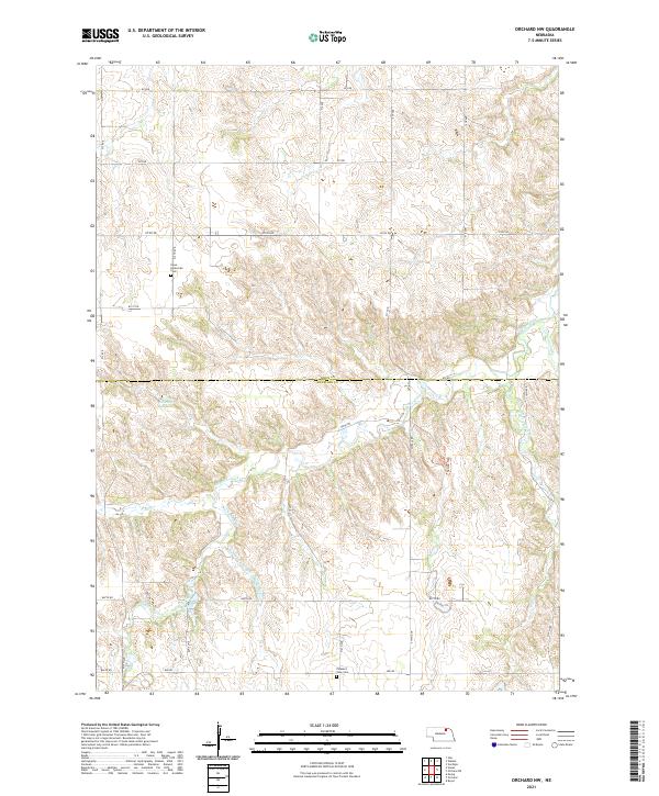 2021 Orchard NW2021 Print · USGSThe rural borderlands of Knox and Antelope counties come alive in this recent survey of Nebraska's rolling creek country. Genealogists and local historians can locate Hope-Enterprise Cem, trace the Hathaway Slough, and follow the winding Nature Trl.
 - 2021 Map of Neligh SW, 2021 Print
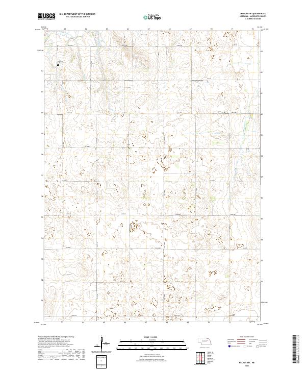 2021 Neligh SW2021 Print · USGSAntelope County remains a landscape of sprawling prairie farms and section-line roads in the early 2020s. Genealogists and local historians can locate Concordia Lutheran Cem or trace the winding paths of Clearwater Cr and Snake Cr.
 - 2021 Map of Tilden NE, 2021 Print
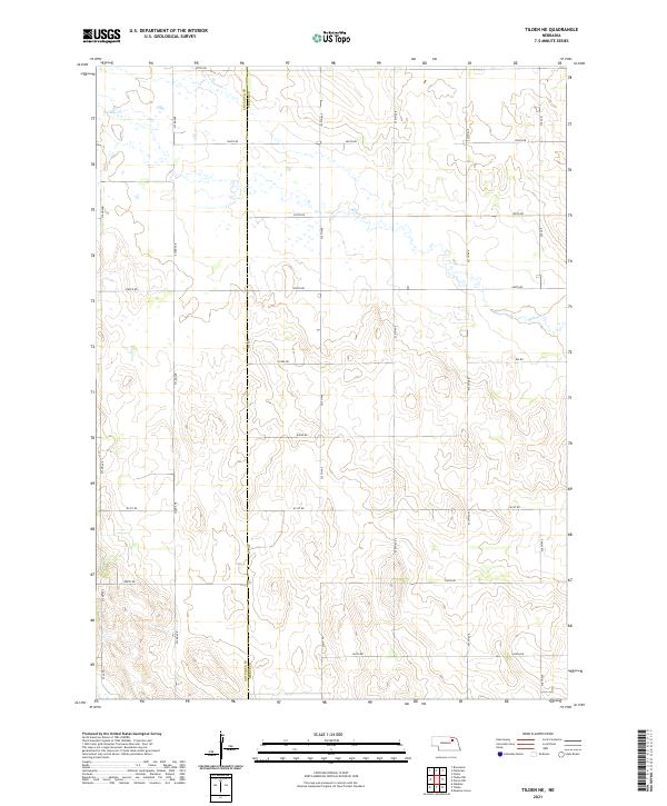 2021 Tilden NE2021 Print · USGSThe Antelope and Pierce County line near Tilden is documented here as it appeared in the early 2020s. Genealogists and local historians can trace family land plots across Pierce Rd and follow the meanders of Willow Cr through the section grid.
 - 2021 Map of Brunswick, 2021 Print
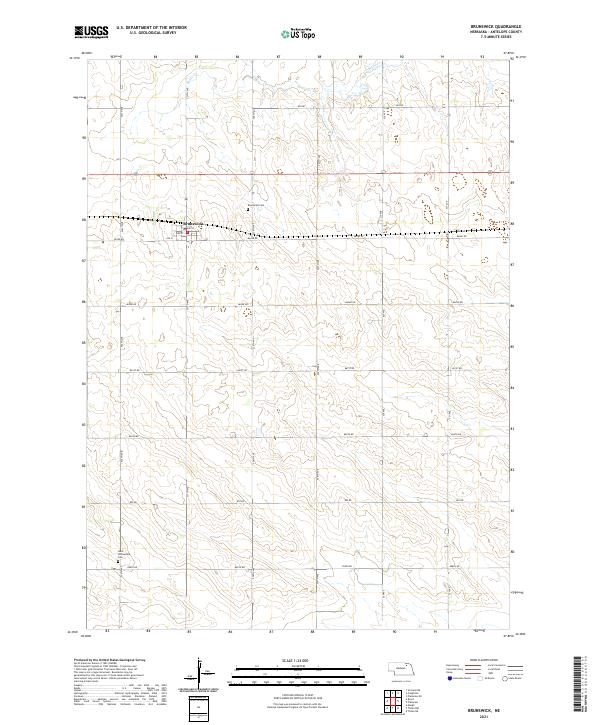 2021 Brunswick2021 Print · USGSAntelope County agriculture and the small-town hub of Brunswick are shown here as they appeared in the early twenty-first century. Genealogists and local historians can locate specific burial sites at Brunswick Cem or West Willowdale Cem.
 - 2021 Map of Venus, 2021 Print
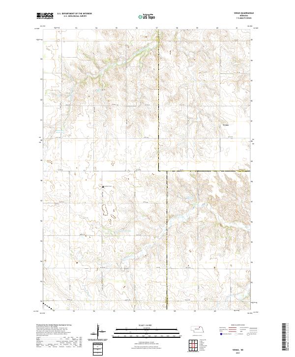 2021 Venus2021 Print · USGSIn the Nebraska countryside during the early 2020s, this area spans the intersection of Holt, Knox, and Antelope counties. Genealogists and local historians can trace the rural settlement of Venus and locate the Lambert Cem near S Br Verdigre Cr.
 - 2021 Map of Neligh SE, 2021 Print
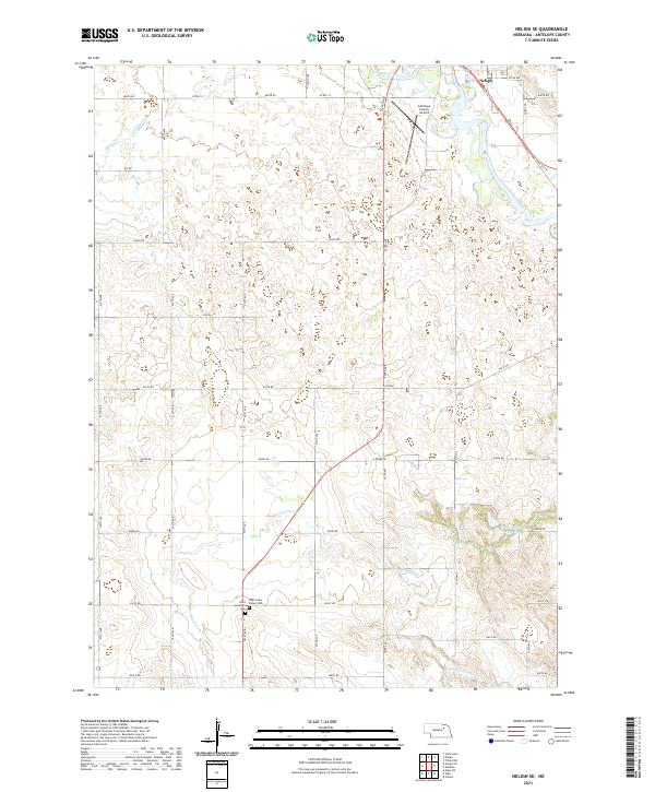 2021 Neligh SE2021 Print · USGSAntelope County agriculture and river life are captured here during the early twenty-first century. Genealogists and local historians can trace the Cowboy Trl corridor or locate family sites near Saint Boniface Cem and West Cedar Valley Cem.
 - 2021 Map of Deloit NE, 2021 Print
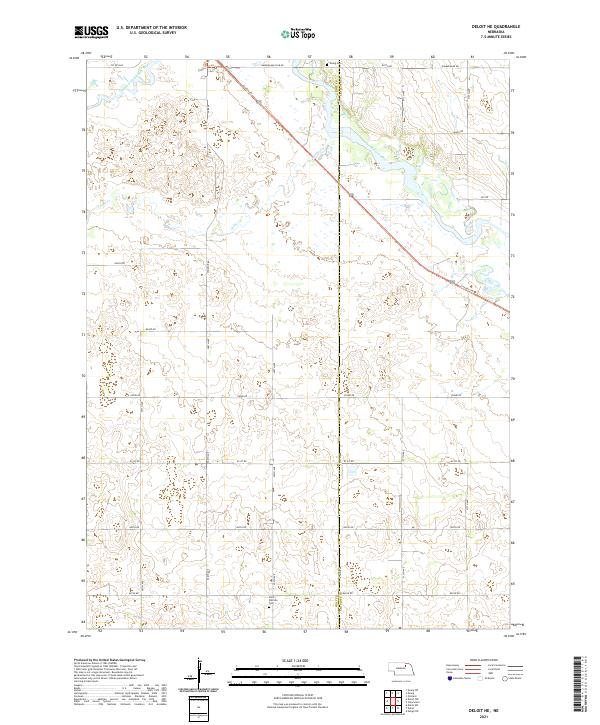 2021 Deloit NE2021 Print · USGSCrossing the border of Holt and Antelope counties in the early 2020s, this area reveals a landscape tied to the Elkhorn River valley. Trace the path of the historic rail corridor along the Cowboy Trl or locate local landmarks like Saint Patricks Cem and Ewing Cem.
 - 2021 Map of Orchard NE, 2021 Print
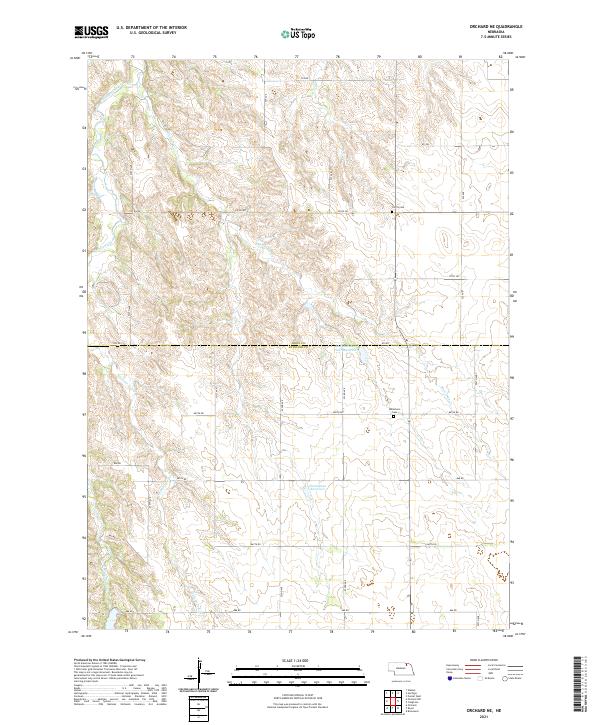 2021 Orchard NE2021 Print · USGSThe rural border of Knox and Antelope counties is captured here in the early twenty-first century, showing a landscape shaped by prairie creeks and section-line roads. Genealogists can locate family sites near Olcott Cem, Millerboro Cem, and the waters of Hanneman Reservoir.
 - 2021 Map of Orchard, 2021 Print
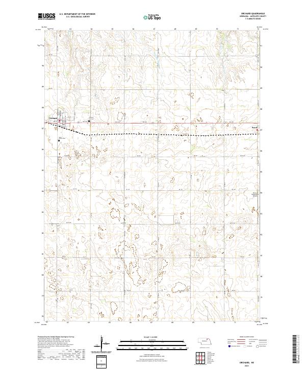 2021 Orchard2021 Print · USGSAntelope County, Nebraska, is seen here in a modern era of precise agricultural grids and rural aviation. Researchers can locate family roots at Orchard Hill Cem or Saint Peters Cem, and trace the paths of Hathaway Slough and Hay Cr.
 - 2021 Map of Deloit, 2021 Print
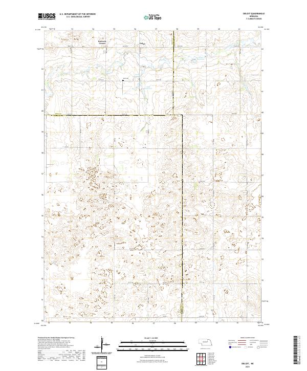 2021 Deloit2021 Print · USGSThe rural tri-county border area of Holt, Wheeler, and Antelope counties is captured here in the early 2020s. Genealogists and local historians can locate the Wolf Cem and trace the drainage of Clearwater Cr past Deloit and Knievels Corner.
 - 2021 Map of Neligh, 2021 Print
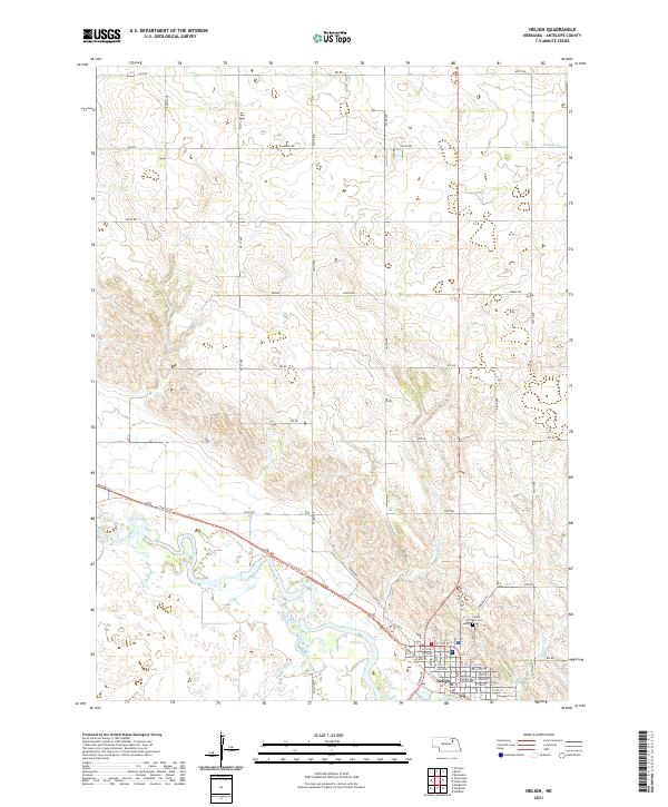 2021 Neligh2021 Print · USGSNeligh and the winding Elkhorn River valley are captured here in the early twenty-first century as the region maintains its agricultural roots. Researchers can locate Laurel Hill Cemetery, the Antelope County Courthouse, and the long path of the Cowboy Trail.
 - 2021 Map of Royal, 2021 Print
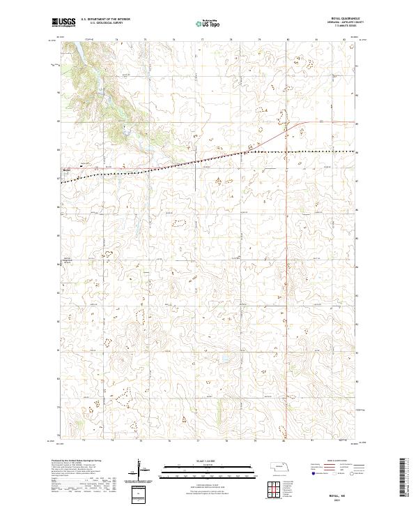 2021 Royal2021 Print · USGSAntelope County remains a landscape of traditional section lines and prairie drainages in the early twenty-first century. Genealogists and local historians can trace the rural layout around Royal and the Royal Cem, or locate the Dennys Playground Airport near the Verdigre Creek headwaters.
End of results
Showing maps 1-25 of 25
Top cities of Antelope County
- Neligh historical maps
- Elgin historical maps
- Clearwater historical maps
- Orchard historical maps
- Oakdale historical maps
- Brunswick historical maps
See more
Frequently asked questions
- What are the different types of historical maps available for Antelope County?
- What is the oldest map of Antelope County?
- Where can I purchase historical maps of Antelope County for my home or office?
- Where can I download high-res historical maps of Antelope County?
- Are there historical topographic maps available for Antelope County?
- Is there historical aerial imagery available for Antelope County?
- Where are historical maps of Antelope County sourced from?