2010s Maps of Antelope County, Nebraska
Explore 75 historic maps of Antelope County from the 2010s. These maps offer a rare glimpse into what life looked like during the 2010s — showing old roads, neighborhoods, homes, and landmarks that have changed or disappeared over time.
Whether you're researching your family's past, planning a metal detecting trip, or studying how Antelope County's landscape evolved across the 2010s, these high-resolution maps are a powerful tool for exploring the history of this region.
- Focus on a specific era: All maps on this page are from the 2010s, giving you a focused view of this time period.
- See what’s changed: Compare century-old streets, trails, and buildings to today's modern landscape using overlays and satellite layers.
- Research with precision: Use these maps for genealogy, historical research, land use analysis, or educational projects.
- View, download, or print: Maps are fully viewable online in high resolution, and can be downloaded or printed for your own records.
Start exploring Antelope County's history through authentic maps from the 2010s. This is your window into the past.
Antelope County, NE maps
(75)- 2011 Map of Neligh SE, 2011 Print
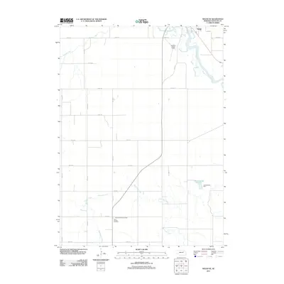 2011 Neligh SE2011 Print · USGSAntelope County agriculture and local history are preserved in this 2011 survey of the rural landscape south of Neligh. Researchers can trace family sites at Saint Boniface Cemetery and West Cedar Valley Cemetery or locate the Flobert Springs Reservoir.
 - 2011 Map of Neligh SW, 2011 Print
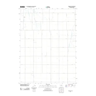 2011 Neligh SW2011 Print · USGSAntelope County remains a landscape of managed farmland and prairie creeks in the early twenty-first century. Genealogists and local researchers can locate the Lutheran Cemetery and trace the paths of Pebble Creek and Snake Creek through the section-line roads.
 - 2011 Map of Deloit NE, 2011 Print
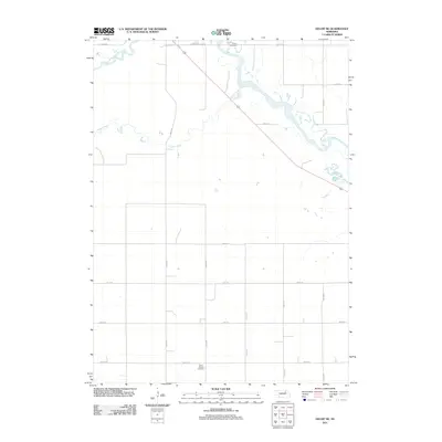 2011 Deloit NE2011 Print · USGSHolt County agricultural lands are documented here in the early twenty-first century, showing the grid of section roads and river valleys. Genealogists and local historians can locate specific burial sites at Ewing Cemetery and Saint Patricks Cemetery.
 - 2011 Map of Royal, 2011 Print
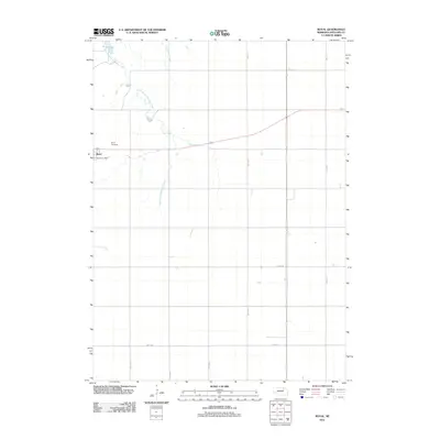 2011 Royal2011 Print · USGSThe community of Royal and its surrounding farmstead grid are documented here in the early twenty-first century. Genealogists and local researchers can locate the Royal Cemetery, trace the course of East Branch Verdigre Creek, and find the Royal Post Office site.
 - 2011 Map of Neligh, 2011 Print
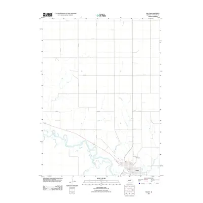 2011 Neligh2011 Print · USGSNeligh and the winding Elkhorn River valley are captured here in the early twenty-first century, showing the town's enduring layout and surrounding farmsteads. Genealogists can locate Laurel Hill Cemetery and the Neligh Post Office, while researchers can trace the path of the Cowboy Trl.
 - 2011 Map of Deloit, 2011 Print
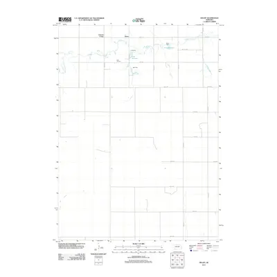 2011 Deloit2011 Print · USGSHolt County's agricultural landscape is documented here in the early twenty-first century, showing the grid of section-line roads and creek-side settlements. Genealogists and local historians can locate Wolf Cemetery and trace the drainage of Clearwater Creek through Funk Reservoir and Deloit.
 - 2011 Map of Orchard NE, 2011 Print
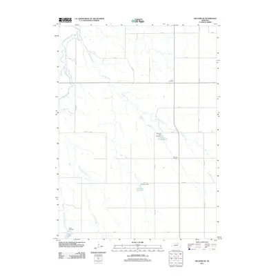 2011 Orchard NE2011 Print · USGSKnox County is depicted in the early 21st century as a landscape defined by prairie waterways and rural burial grounds. Genealogists can locate family sites like Alcott Cemetery and Millerboro Cemetery or trace the drainage of Cottonwood Creek.
 - 2011 Map of Orchard, 2011 Print
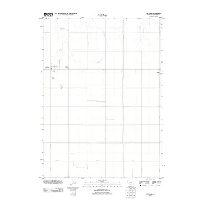 2011 Orchard2011 Print · USGSIn the Nebraska farm country of the early 2010s, the village of Orchard remains the heart of this Antelope County community. Genealogists can locate family sites at Orchard Cemetery and Saint Peters Cemetery, while landmarks like the Orchard Post Office and Schleusener Dam ground the local landscape.
 - 2011 Map of Orchard NW, 2011 Print
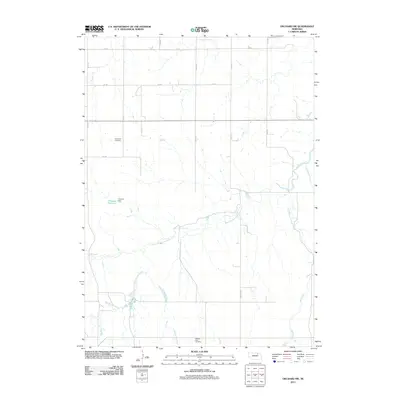 2011 Orchard NW2011 Print · USGSKnox County, Nebraska, reveals its rural character and prairie drainage systems in the early twenty-first century. Genealogists and local historians can locate the Enterprise Cemetery and Pleasant View Cemetery or trace the winding course of Hathaway Slough.
 - 2011 Map of Ewing, 2011 Print
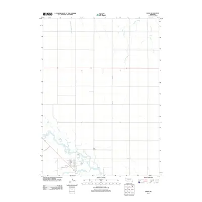 2011 Ewing2011 Print · USGSEwing and the surrounding Nebraska prairie are captured here in the early twenty-first century at the confluence of two river forks. Researchers can locate the Saint Peter Cemetery, trace the path of the Elkhorn River, and find the central Ewing Post Office.
 - 2011 Map of Clearwater, 2011 Print
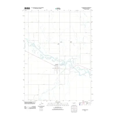 2011 Clearwater2011 Print · USGSClearwater and the surrounding Nebraska plains are captured here in the early twenty-first century as the town sits near the Elkhorn River. Genealogists can locate several burial sites north of town, including Saint Theresa Cemetery and the Latter Day Saints Cemetery.
 - 2011 Map of Venus, 2011 Print
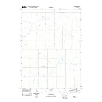 2011 Venus2011 Print · USGSThis rural portion of Knox County in the early twenty-first century is defined by the winding paths of the Middle Branch Verdigre Creek and the small settlement of Venus. Researchers can locate the Lambert Cemetery and trace a network of family-named water works like Cronk Reservoir and Waterman Dam.
 - 2011 Map of Plainview NE, 2011 Print
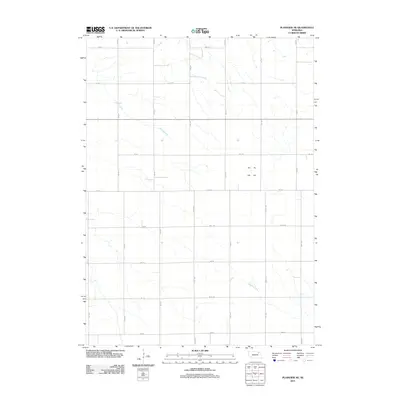 2011 Plainview NE2011 Print · USGSPierce County farming country is documented here at the start of the 2010s, showing a landscape defined by the section line grid. Researchers can trace land access and drainage patterns along Spring Creek, Breslau Creek, and 870 Rd.
 - 2011 Map of Tilden, 2011 Print
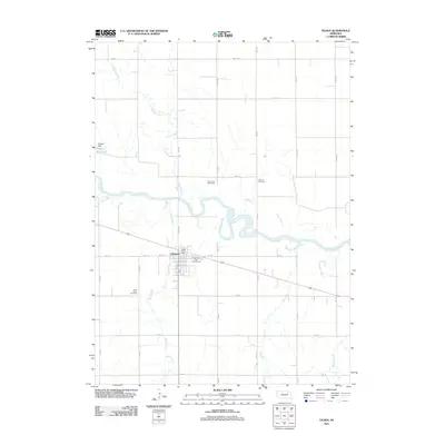 2011 Tilden2011 Print · USGSThe Elkhorn River valley at the start of the 2010s shows a landscape of sectioned farmland centered on the community of Tilden. Researchers can trace the layout of local properties and landmarks like Saint Marys Cemetery, River View Stock Farm, and the Tilden Post Office.
 - 2011 Map of Oakdale, 2011 Print
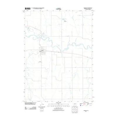 2011 Oakdale2011 Print · USGSOakdale and the surrounding Antelope County countryside are documented here in the early 21st century as the Elkhorn River meanders past the town site. Researchers can trace local landmarks like Oakdale Cemetery, the Oakdale Post Office, and Mitchell-Brandt Reservoir.
 - 2011 Map of Creighton, 2011 Print
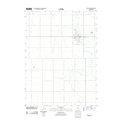 2011 Creighton2011 Print · USGSKnox County is centered on the settlement of Creighton during the early 21st century, showing a well-ordered agricultural landscape. Trace local family history at Greenwood Cemetery or explore the drainage of Bazile Creek and the lands near Council Hill.
 - 2011 Map of Tilden NW, 2011 Print
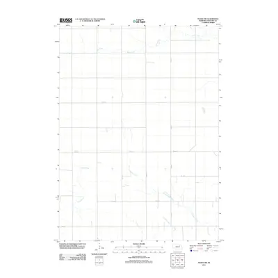 2011 Tilden NW2011 Print · USGSAntelope County agriculture and prairie hydrology are captured here in the early twenty-first century. Researchers can trace rural property access along Pierce Rd or follow the natural drainage of Willow Creek and Al Hopkins Creek across the plains.
 - 2011 Map of Brunswick, 2011 Print
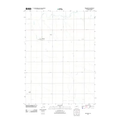 2011 Brunswick2011 Print · USGSAntelope County agriculture and the community of Brunswick are documented here in the early twenty-first century. Genealogists and local historians can locate the Brunswick Cemetery, West Willowdale Cemetery, and landmarks along Bazile Creek.
 - 2011 Map of Plainview, 2011 Print
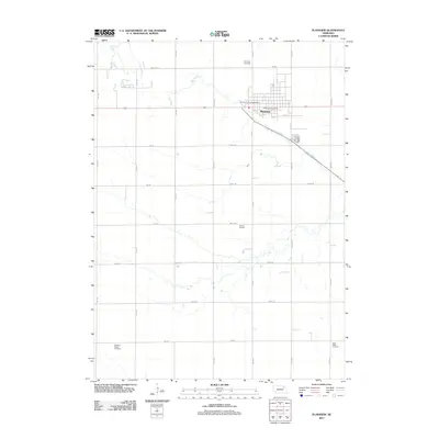 2011 Plainview2011 Print · USGSPlainview and its surrounding Pierce County farmstead land are captured here in the early twenty-first century. Genealogists and local historians can trace family roots at Plainview Cemetery, Pleasant Ridge Cemetery, and Stark Valley Cemetery or locate the central Plainview Post Office.
 - 2011 Map of Tilden NE, 2011 Print
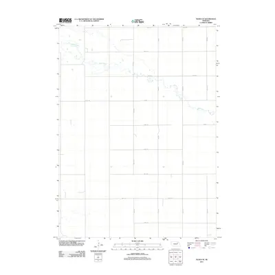 2011 Tilden NE2011 Print · USGSPierce County, Nebraska, is shown in the early twenty-first century as a landscape of structured rural agriculture. Researchers can trace the winding course of Willow Creek and the long-established farm road grid including Pierce Rd and 857th Rd.
 - 2011 Map of Closter NE, 2011 Print
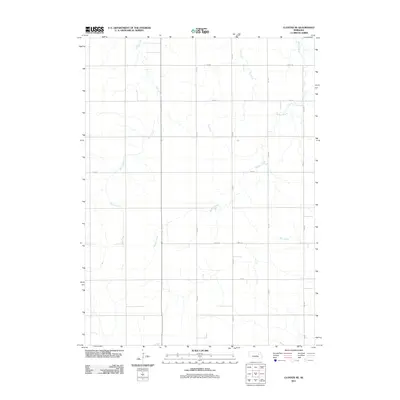 2011 Closter NE2011 Print · USGSMadison County's agricultural heartland is documented here in the early twenty-first century, showing a landscape defined by precise section lines and prairie waterways. Researchers can trace the paths of Buffalo Creek and Giles Creek as they intersect rural routes like 839th Rd.
 - 2011 Map of Closter, 2011 Print
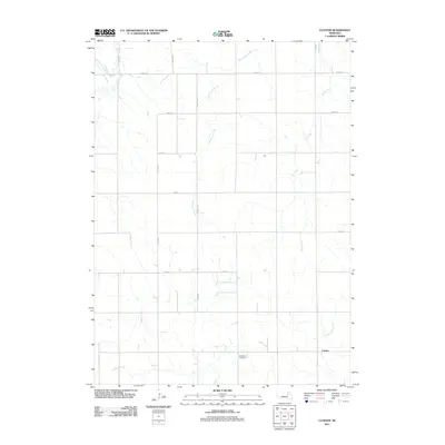 2011 Closter2011 Print · USGSBoone County, Nebraska, is shown in the early twenty-first century as a landscape of grid-patterned agriculture and prairie drainages. Researchers can locate the Zion West Cemetery and trace the winding paths of Saint Clair Creek and Ives Creek through the rural township.
 - 2011 Map of Elgin NW, 2011 Print
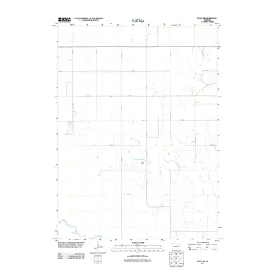 2011 Elgin NW2011 Print · USGSAntelope County's agricultural grid is captured here during the early 2010s, showing a landscape defined by precision farming and water management. Genealogists and land researchers can trace property access along 514 Ave or locate water features like Stoltz Reservoir and Rae Creek.
 - 2011 Map of Park Church, 2011 Print
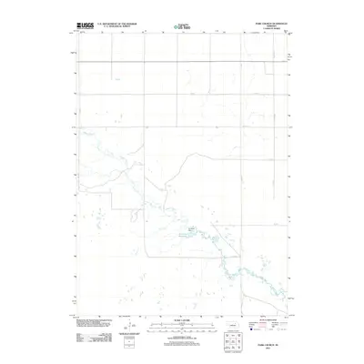 2011 Park Church2011 Print · USGSAntelope County remains a landscape of open prairie and section roads during this 2011 survey. Researchers can trace the drainage of Beaver Creek and locate agricultural water features like Jennings Dam and Jennings Reservoir.
 - 2011 Map of Elgin, 2011 Print
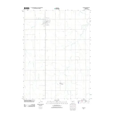 2011 Elgin2011 Print · USGSElgin and the agricultural heartland of Antelope County appear in the early 2000s, showing a landscape of section roads and creek beds. Researchers can locate the Elgin Post Office, the rural airstrip at Koinzan Airport, and the small community of Raeville.
Showing maps 1-25 of 75
Top cities of Antelope County
- Neligh historical maps
- Elgin historical maps
- Clearwater historical maps
- Orchard historical maps
- Oakdale historical maps
- Brunswick historical maps
See more
Frequently asked questions
- What are the different types of historical maps available for Antelope County?
- What is the oldest map of Antelope County?
- Where can I purchase historical maps of Antelope County for my home or office?
- Where can I download high-res historical maps of Antelope County?
- Are there historical topographic maps available for Antelope County?
- Is there historical aerial imagery available for Antelope County?
- Where are historical maps of Antelope County sourced from?