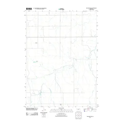
2011 Map of Orchard NW
USGS Topo · Published 2011About this map
Verdigre Creek and its various tributaries define the drainage patterns across this rural landscape in Knox County, Nebraska. The map illustrates a section of the Great Plains dominated by agricultural grid roads such as 874 RD and 513 Ave, which connect dispersed rural landmarks. Local history is anchored by the Enterprise Cemetery in the northwestern quadrant and the Pleasant View Cemetery to the south. Water management is a visible priority in the region, evidenced by the Howard Reservoir and the accompanying Howard Dam. Natural drainage features like Big Springs Creek and the meandering Hathaway Slough reveal the underlying topography of the Nebraska prairie as it appeared in the early 21st century. The map also traces the convergence of several waterways, including Cottonwood Creek and East Branch Verdigre Creek, showing how the land is segmented by both natural flow and section-line roads like Ashfall RD.
Find a feature on this map
22 named features on this map. Tap any name to fly to it.
Don’t see what you’re looking for? This feature index may not catch every label — zoom into the map to look around manually.
Map Details
Editions of this 2011 Orchard NW Map
This is the sole edition of this map. No revisions or reprints were ever made.
Other maps of this area

1954 · Walnut
USGS Topo · 1:24,000

1954 · Verdigre
USGS Topo · 1:24,000

1954 · Star
USGS Topo · 1:24,000

1955 · O'Neill
USGS Topo · 1:250,000

1959 · O'Neill
USGS Topo · 1:250,000

1963 · Orchard NE
USGS Topo · 1:24,000

1963 · Venus
USGS Topo · 1:24,000

1963 · Royal
USGS Topo · 1:24,000

1963 · Orchard
USGS Topo · 1:24,000

1963 · Ewing
USGS Topo · 1:24,000