2000s (21st Century) Maps of Kearney, Nebraska
Explore 8 historic maps of Kearney from the 2000s (21st Century). These maps offer a rare glimpse into what life looked like during the 2000s — showing old roads, neighborhoods, homes, and landmarks that have changed or disappeared over time.
Whether you're researching your family's past, planning a metal detecting trip, or studying how Kearney's landscape evolved across the 2000s, these high-resolution maps are a powerful tool for exploring the history of this region.
- Focus on a specific era: All maps on this page are from the 2000s, giving you a focused view of this time period.
- See what’s changed: Compare century-old streets, trails, and buildings to today's modern landscape using overlays and satellite layers.
- Research with precision: Use these maps for genealogy, historical research, land use analysis, or educational projects.
- View, download, or print: Maps are fully viewable online in high resolution, and can be downloaded or printed for your own records.
Start exploring Kearney's history through authentic maps from the 2000s. This is your window into the past.
Kearney, NE maps
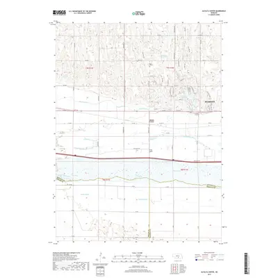
(8)- 2011 Map of Alfalfa Center, 2011 Print
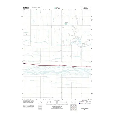 2011 Alfalfa Center2011 Print · USGSCovers Kearney, including Sheens Trailer Court, Cottonmill Mobile Home Court, and other nearby areas
 - 2011 Map of Kearney, 2011 Print
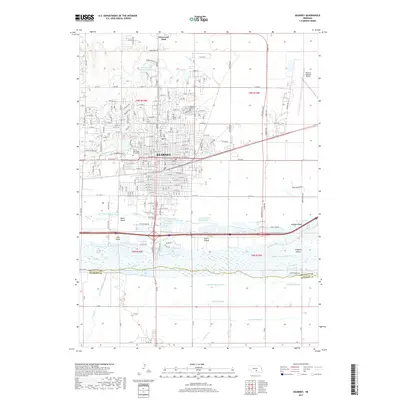
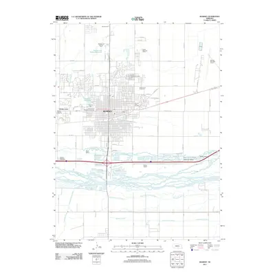 2011 Kearney2011 Print · USGSCovers Kearney, including R-Villa Courts, East Lawn Mobile Home Estates, and other nearby areas
 - 2014 Map of Kearney, 2014 Print
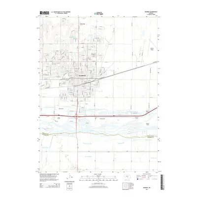 2014 Kearney2014 Print · USGSCovers Kearney, including R-Villa Courts, East Lawn Mobile Home Estates, and other nearby areas
 - 2014 Map of Alfalfa Center, 2014 Print
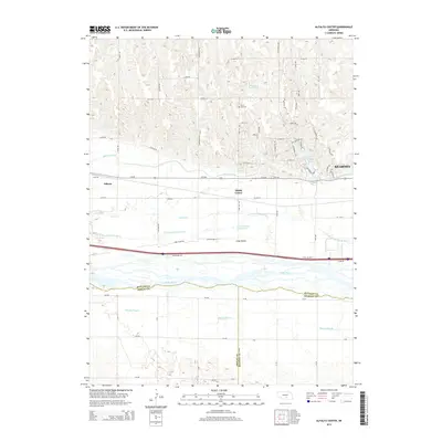 2014 Alfalfa Center2014 Print · USGSCovers Kearney, including Sheens Trailer Court, Cottonmill Mobile Home Court, and other nearby areas
 - 2017 Map of Alfalfa Center, 2017 Print
 2017 Alfalfa Center2017 Print · USGSCovers Kearney, including Sheens Trailer Court, Cottonmill Mobile Home Court, and other nearby areas
 - 2017 Map of Kearney, 2017 Print
 2017 Kearney2017 Print · USGSCovers Kearney, including R-Villa Courts, East Lawn Mobile Home Estates, and other nearby areas
 - 2021 Map of Kearney, 2021 Print
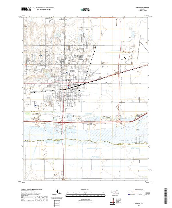 2021 Kearney2021 Print · USGSKearney and its surrounding river islands are shown here in the early 2020s, detailing a landscape defined by the Platte River. Researchers can locate civic and educational hubs like the Buffalo County Courthouse and the University of Nebraska at Kearney, or trace the complex channels around Governor Island and Killgore Island.
 - 2021 Map of Alfalfa Center, 2021 Print
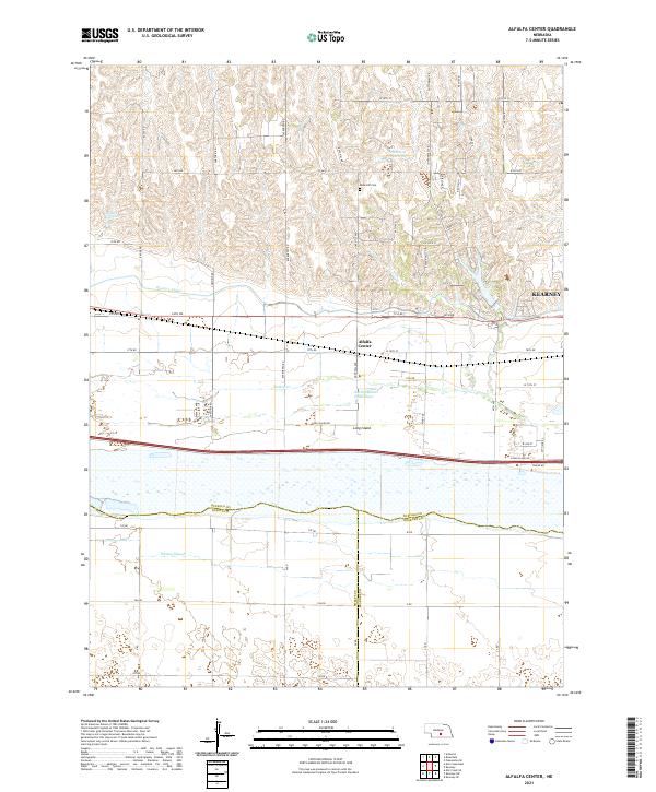 2021 Alfalfa Center2021 Print · USGSBuffalo County agriculture meets the Platte River valley in the early 2020s as the suburbs of the region's hub begin to expand. Genealogists and local historians can trace family plots at Dove Hill Cem and explore the complex hydrology of Long Island and the Kearney Canal.
End of results
Showing maps 1-8 of 8
Top cities near Kearney
- Minden historical maps
- Gibbon historical maps
- Axtell historical maps
- Odessa historical maps
- Amherst historical maps
- Newark historical maps
See more
Top neighborhoods of Kearney
- East Lawn Mobile Home Estates historical maps
- Riverside Mobile Home Court historical maps
- Valley View Trailer Court historical maps
- R-Villa Courts historical maps
Frequently asked questions
- What are the different types of historical maps available for Kearney?
- What is the oldest map of Kearney?
- Where can I purchase historical maps of Kearney for my home or office?
- Where can I download high-res historical maps of Kearney?
- Are there historical topographic maps available for Kearney?
- Is there historical aerial imagery available for Kearney?
- Where are historical maps of Kearney sourced from?