Old Maps of David City, Nebraska for Academic Research
Study the evolution of David City with 25 high-resolution historic maps. Whether you're teaching, researching, or modeling changes in land use, these maps provide essential visual documentation of urban, environmental, and geographic change.
- Analyze long-term change: Track patterns in development, transportation, and natural features.
- Ideal for environmental or urban studies: Support academic projects with primary historical map data.
- Use in the classroom or lab: Educators and researchers rely on these maps to bring historical context to life.
These maps are a powerful tool for teaching, research, and visualizing how David City has changed over the decades.
David City, NE maps
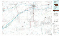
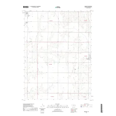
(25)- 1899 Map of David City
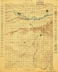 1899 David City1899 Print · USGSButler County and its neighbors flourished during the late nineteenth-century railroad boom, centered on the junction at David City. Genealogists and historians can trace the early footprints of Surprise, Wayland, and Rising along the extensive steam rail networks.3 unique versions available
 - 1955 Map of Fremont, 1966 Print
 1955 Fremont1966 Print · USGSEastern Nebraska and the Missouri River border are captured during the mid-fifties, just as the interstate system began to emerge. Researchers can trace the development of Omaha, locate the sprawling Offutt Air Force Base, or study the river-bound ecology of the De Soto National Wildlife Refuge.3 unique versions available
 - 1957 Map of Fremont
 1957 Fremont1957 Print · USGSEastern Nebraska and western Iowa thrive along the Platte and Missouri rivers during the mid-fifties. Genealogists can locate small rural schools like Fairview School and tracing the paths of the Union Pacific through towns like Albion and Humphrey.
 - 1958 Map of Fremont
 1958 Fremont1958 Print · USGSEastern Nebraska in the late fifties is captured here as a thriving corridor of river-valley commerce and rail transport. Researchers can trace the development of Omaha and Fremont or locate local landmarks like Midland College and Offutt Air Force Base.
 - 1965 Map of Brainard, 1967 Print
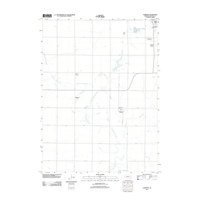
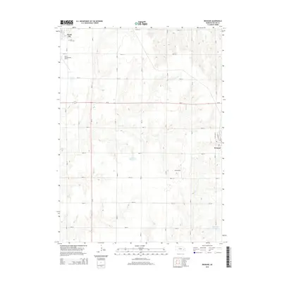
 1965 Brainard1967 Print · USGSButler County farmland transitions from the outskirts of David City to the village of Brainard in the mid-sixties. Researchers can trace the Union Pacific line, find rural schools like Speedway Sch, and locate the St Marys Cem.
 - 1965 Map of Garrison, 1967 Print
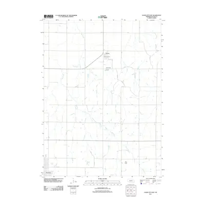
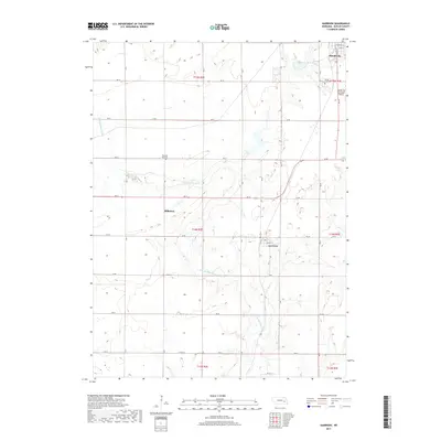
 1965 Garrison1967 Print · USGSButler County, Nebraska, is captured here in the mid-1960s as a thriving rail and agricultural corridor. Researchers can trace the heritage of David City and Garrison through landmarks like Aquinas High Sch, Zion Ch Cem, and the Bongers Sky Ranch Airfield.
 - 1968 Map of David City West, 1971 Print
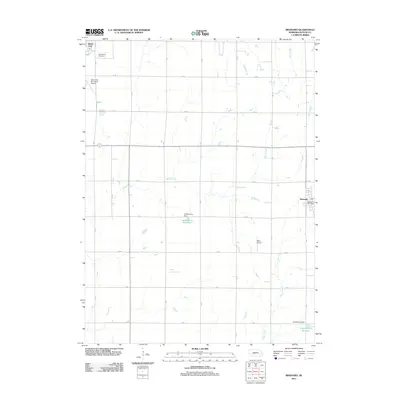
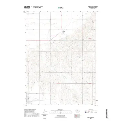
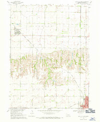 1968 David City West1971 Print · USGSButler County's agricultural heartland is captured here in the late sixties, showing the rural townships as they transitioned into the modern era. Genealogists can locate family landmarks such as SS Peter & Mary Cem, St Marys Sch, and the local Fairground near the edge of David City.
 - 1968 Map of David City East, 1971 Print
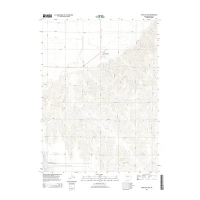
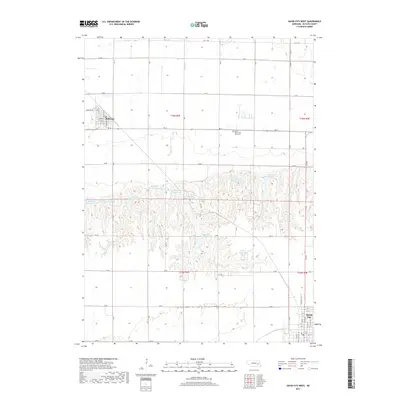
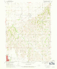 1968 David City East1971 Print · USGSButler County farmland transitions from the outskirts of the county seat to rural townships in the late sixties. Genealogists and local historians can locate the Hospital and High Sch in David City, or trace rural landmarks like Assumption Ch and Appleton Sch.
 - 1985 Map of David City
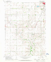
 1985 David City1985 Print · USGSCentral Nebraska in the mid-eighties centers on the convergence of the Platte River and Loup River. Trace the rail-and-river economy through towns like Columbus, David City, and Stromsburg, or locate family sites near Swedehome and Surprise.2 unique versions available
 - 2011 Map of David City East, 2011 Print
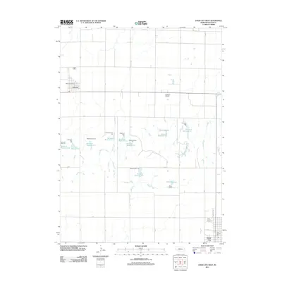
 2011 David City East2011 Print · USGSCovers David City, including Octavia, Butler County, and other nearby areas
 - 2011 Map of Brainard, 2011 Print
 2011 Brainard2011 Print · USGSCovers David City, including Brainard, Butler County, and other nearby areas
 - 2011 Map of Garrison, 2011 Print
 2011 Garrison2011 Print · USGSCovers David City, including Garrison, Millerton, and other nearby areas
 - 2011 Map of David City West, 2011 Print
 2011 David City West2011 Print · USGSCovers David City, including Bellwood, Butler County, and other nearby areas
 - 2014 Map of Brainard, 2014 Print
 2014 Brainard2014 Print · USGSCovers David City, including Brainard, Butler County, and other nearby areas
 - 2014 Map of Garrison, 2014 Print
 2014 Garrison2014 Print · USGSCovers David City, including Garrison, Millerton, and other nearby areas
 - 2014 Map of David City West, 2014 Print
 2014 David City West2014 Print · USGSCovers David City, including Bellwood, Butler County, and other nearby areas
 - 2014 Map of David City East, 2014 Print
 2014 David City East2014 Print · USGSCovers David City, including Octavia, Butler County, and other nearby areas
 - 2017 Map of Brainard, 2017 Print
 2017 Brainard2017 Print · USGSCovers David City, including Brainard, Butler County, and other nearby areas
 - 2017 Map of David City East, 2017 Print
 2017 David City East2017 Print · USGSCovers David City, including Octavia, Butler County, and other nearby areas
 - 2017 Map of Garrison, 2017 Print
 2017 Garrison2017 Print · USGSCovers David City, including Garrison, Millerton, and other nearby areas
 - 2017 Map of David City West, 2017 Print
 2017 David City West2017 Print · USGSCovers David City, including Bellwood, Butler County, and other nearby areas
 - 2021 Map of David City East, 2021 Print
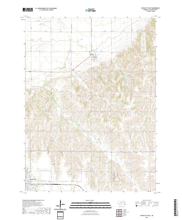 2021 David City East2021 Print · USGSButler County farmland near the county seat comes into focus in this recent survey of the Nebraska plains. Local historians can trace the street grids of David City and Octavia or follow the path of Bone Cr and Brezina Reservoir.
 - 2021 Map of Garrison, 2021 Print
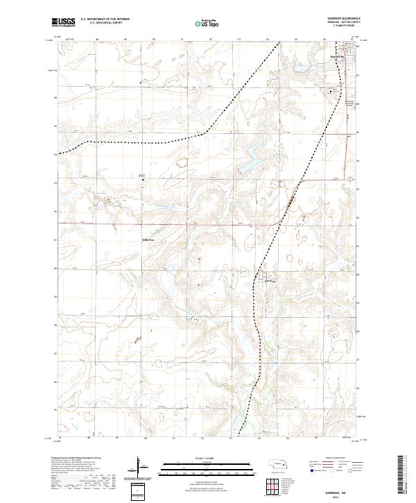 2021 Garrison2021 Print · USGSButler County's rural landscape is captured here in the early twenty-first century, showing the enduring agricultural grid and river valleys. Researchers can trace family sites near Garrison, Millerton, and local landmarks like Pleasant Hill Cem.
 - 2021 Map of David City West, 2021 Print
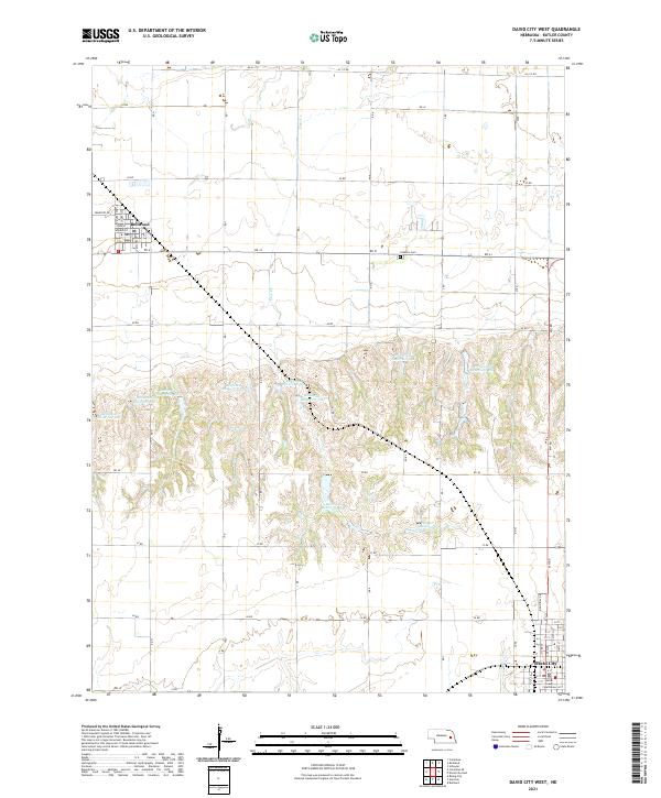 2021 David City West2021 Print · USGSButler County's agricultural heartland transitions from the Platte River valley into rolling uplands in this 2021 study. Researchers can trace the development of Bellwood and David City while locating landmarks like the Butler County Courthouse and the Catholic Cem.
 - 2021 Map of Brainard, 2021 Print
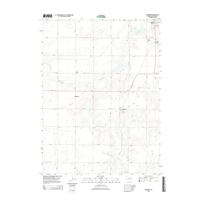
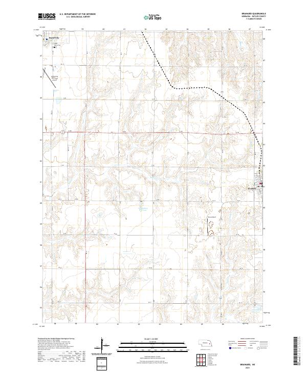 2021 Brainard2021 Print · USGSButler County farmland near Brainard is shown in detail during the early 2020s, revealing a landscape defined by prairie creeks and rural aviation. Genealogists can locate Saint Marys Cem while researchers trace the paths of Kezan Cr and Plum Cr.
End of results
Showing maps 1-25 of 25
Top cities near David City
- Columbus historical maps
- Schuyler historical maps
- Bellwood historical maps
- Rising City historical maps
- Brainard historical maps
- Ulysses historical maps
See more
Frequently asked questions
- What are the different types of historical maps available for David City?
- What is the oldest map of David City?
- Where can I purchase historical maps of David City for my home or office?
- Where can I download high-res historical maps of David City?
- Are there historical topographic maps available for David City?
- Is there historical aerial imagery available for David City?
- Where are historical maps of David City sourced from?