2000s (21st Century) Maps of Cass County, Nebraska
Explore 76 historic maps of Cass County from the 2000s (21st Century). These maps offer a rare glimpse into what life looked like during the 2000s — showing old roads, neighborhoods, homes, and landmarks that have changed or disappeared over time.
Whether you're researching your family's past, planning a metal detecting trip, or studying how Cass County's landscape evolved across the 2000s, these high-resolution maps are a powerful tool for exploring the history of this region.
- Focus on a specific era: All maps on this page are from the 2000s, giving you a focused view of this time period.
- See what’s changed: Compare century-old streets, trails, and buildings to today's modern landscape using overlays and satellite layers.
- Research with precision: Use these maps for genealogy, historical research, land use analysis, or educational projects.
- View, download, or print: Maps are fully viewable online in high resolution, and can be downloaded or printed for your own records.
Start exploring Cass County's history through authentic maps from the 2000s. This is your window into the past.
Cass County, NE maps
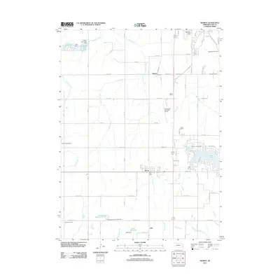
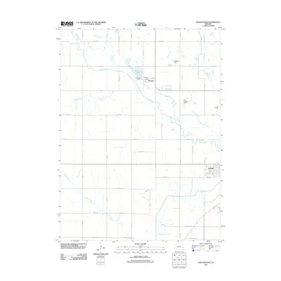
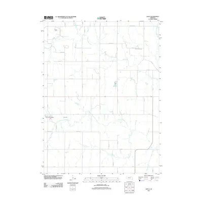
(76)- 2010 Map of Rock Bluff, 2010 Print
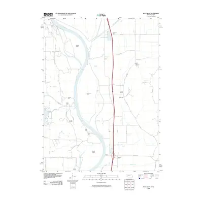 2010 Rock Bluff2010 Print · USGSCovers Cass County, including Bartlett, Mills County, and other nearby areas
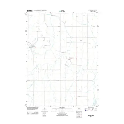
 - 2010 Map of McPaul, 2010 Print
 2010 McPaul2010 Print · USGSCovers Cass County, including Thurman, Eureka, and other nearby areas
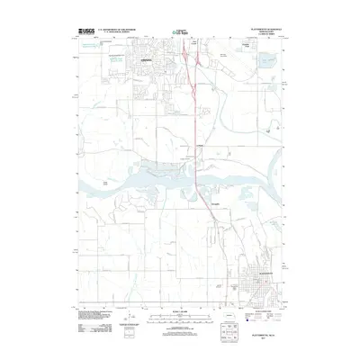
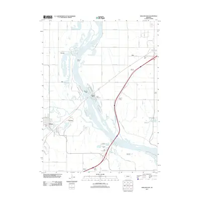
 - 2010 Map of Plattsmouth, 2010 Print
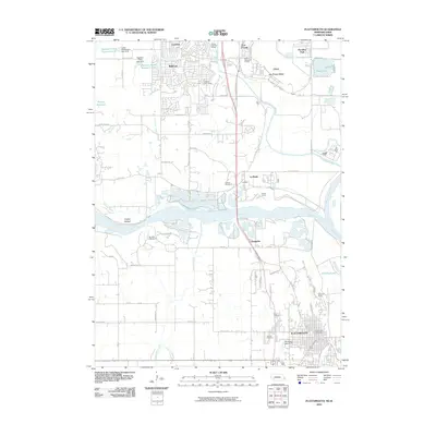 2010 Plattsmouth2010 Print · USGSCovers Cass County, including Bellevue, Plattsmouth, and other nearby areas
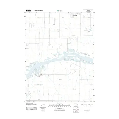
 - 2010 Map of Pacific Junction, 2010 Print
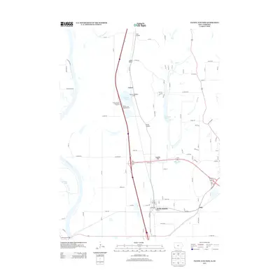
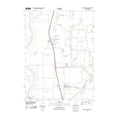 2010 Pacific Junction2010 Print · USGSCovers Cass County, including Plattsmouth, Glenwood, and other nearby areas
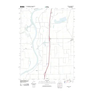
 - 2011 Map of Murray, 2011 Print
 2011 Murray2011 Print · USGSCovers Cass County, including Plattsmouth, Murray, and other nearby areas
 - 2011 Map of Nehawka, 2011 Print
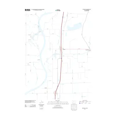
 2011 Nehawka2011 Print · USGSCovers Cass County, including Union, Nehawka, and other nearby areas
 - 2011 Map of Plattsmouth, 2011 Print
 2011 Plattsmouth2011 Print · USGSCovers Cass County, including Bellevue, Plattsmouth, and other nearby areas
 - 2011 Map of Cedar Creek, 2011 Print
 2011 Cedar Creek2011 Print · USGSCovers Cass County, including Papillion, Springfield, and other nearby areas
 - 2011 Map of Ashland West, 2011 Print
 2011 Ashland West2011 Print · USGSCovers Cass County, including Ashland, Memphis, and other nearby areas
 - 2011 Map of Ashland East, 2011 Print
 2011 Ashland East2011 Print · USGSCovers Cass County, including Gretna, Ashland, and other nearby areas
 - 2011 Map of Rock Bluff, 2011 Print
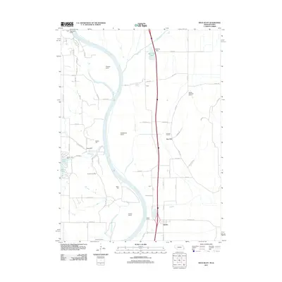 2011 Rock Bluff2011 Print · USGSCovers Cass County, including Bartlett, Mills County, and other nearby areas
 - 2011 Map of Springfield, 2011 Print
 2011 Springfield2011 Print · USGSCovers Cass County, including Papillion, Gretna, and other nearby areas
 - 2011 Map of Eagle, 2011 Print
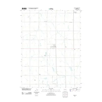 2011 Eagle2011 Print · USGSCovers Cass County, including Eagle, Alvo, and other nearby areas
 - 2011 Map of Manley, 2011 Print
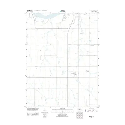 2011 Manley2011 Print · USGSCovers Cass County, including Weeping Water, Louisville, and other nearby areas
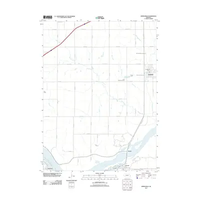
 - 2011 Map of Murdock, 2011 Print
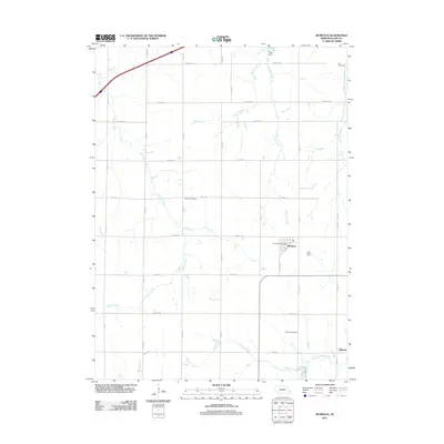 2011 Murdock2011 Print · USGSCovers Cass County, including Murdock, South Bend, and other nearby areas
 - 2011 Map of Greenwood, 2011 Print
 2011 Greenwood2011 Print · USGSCovers Cass County, including Greenwood, Lancaster County, and other nearby areas
 - 2011 Map of Avoca, 2011 Print
 2011 Avoca2011 Print · USGSCovers Cass County, including Avoca, Otoe County, and other nearby areas
 - 2011 Map of Elmwood, 2011 Print
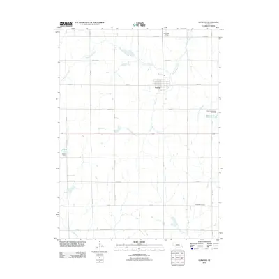 2011 Elmwood2011 Print · USGSCovers Cass County, including Elmwood, Otoe County, and other nearby areas
 - 2011 Map of Weeping Water NE, 2011 Print
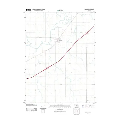
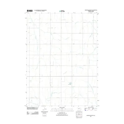 2011 Weeping Water NE2011 Print · USGSCovers Cass County, including United States, Nebraska, and other nearby areas
 - 2011 Map of Weeping Water, 2011 Print
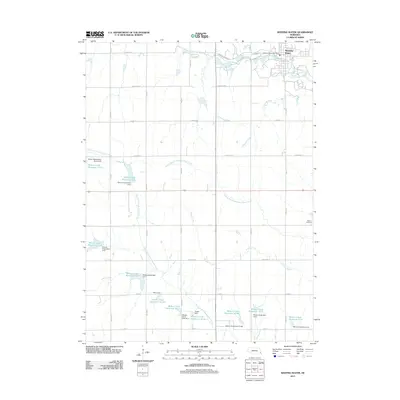 2011 Weeping Water2011 Print · USGSCovers Cass County, including Weeping Water, Otoe County, and other nearby areas
 - 2013 Map of Pacific Junction, 2013 Print
 2013 Pacific Junction2013 Print · USGSCovers Cass County, including Plattsmouth, Glenwood, and other nearby areas
 - 2013 Map of McPaul, 2013 Print
 2013 McPaul2013 Print · USGSCovers Cass County, including Thurman, Eureka, and other nearby areas
 - 2014 Map of Weeping Water NE, 2014 Print
 2014 Weeping Water NE2014 Print · USGSCovers Cass County, including United States, Nebraska, and other nearby areas
 - 2014 Map of Elmwood, 2014 Print
 2014 Elmwood2014 Print · USGSCovers Cass County, including Elmwood, Otoe County, and other nearby areas
 - 2014 Map of Eagle, 2014 Print
 2014 Eagle2014 Print · USGSCovers Cass County, including Eagle, Alvo, and other nearby areas
Showing maps 1-25 of 76
Top cities of Cass County
- Plattsmouth historical maps
- Eagle historical maps
- Weeping Water historical maps
- Louisville historical maps
- Elmwood historical maps
- Greenwood historical maps
See more
Frequently asked questions
- What are the different types of historical maps available for Cass County?
- What is the oldest map of Cass County?
- Where can I purchase historical maps of Cass County for my home or office?
- Where can I download high-res historical maps of Cass County?
- Are there historical topographic maps available for Cass County?
- Is there historical aerial imagery available for Cass County?
- Where are historical maps of Cass County sourced from?