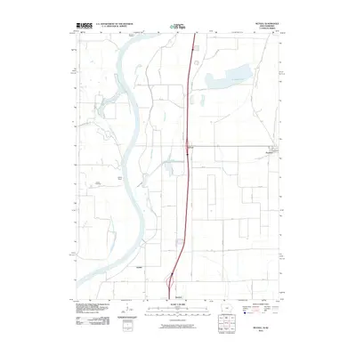
2010 Map of McPaul
USGS Topo · Published 2010About this map
Missouri River oxbows and bottomlands define the border between Iowa and Nebraska in this landscape of shifting water and agricultural industry. The river's meandering path is traced by features like East Chute, West Chute, and the prominent Jones Point. Inland, Sandy Slough and Plum Creek navigate the low-lying terrain toward Forneys Lake, while the Possum Ditch indicates a managed hydraulic environment.
Find a feature on this map
46 named features on this map. Tap any name to fly to it.
Don’t see what you’re looking for? This feature index may not catch every label — zoom into the map to look around manually.
Map Details
Editions of this 2010 McPaul Map
This is the sole edition of this map. No revisions or reprints were ever made.
Other maps of this area

1907 · Nebraska City
USGS Topo · 1:62,500

1935 · Nehawka
USGS Topo · 1:48,000

1939 · Hamburg
USGS Topo · 1:62,500

1940 · Nehawka
USGS Topo · 1:62,500

1941 · Hamburg
USGS Topo · 1:62,500

1955 · Nebraska City
USGS Topo · 1:250,000

1956 · Murray
USGS Topo · 1:24,000

1956 · Rock Bluff
USGS Topo · 1:24,000

1957 · Nebraska City
USGS Topo · 1:250,000

1957 · Tabor
USGS Topo · 1:24,000